Viewing the point cloud
Select the point cloud to view, right-click and choose 'Add to view'.
The user can change the display mode, including height, intensity, texture and canvas. The user can also change the view angle, for example front, top, etc.
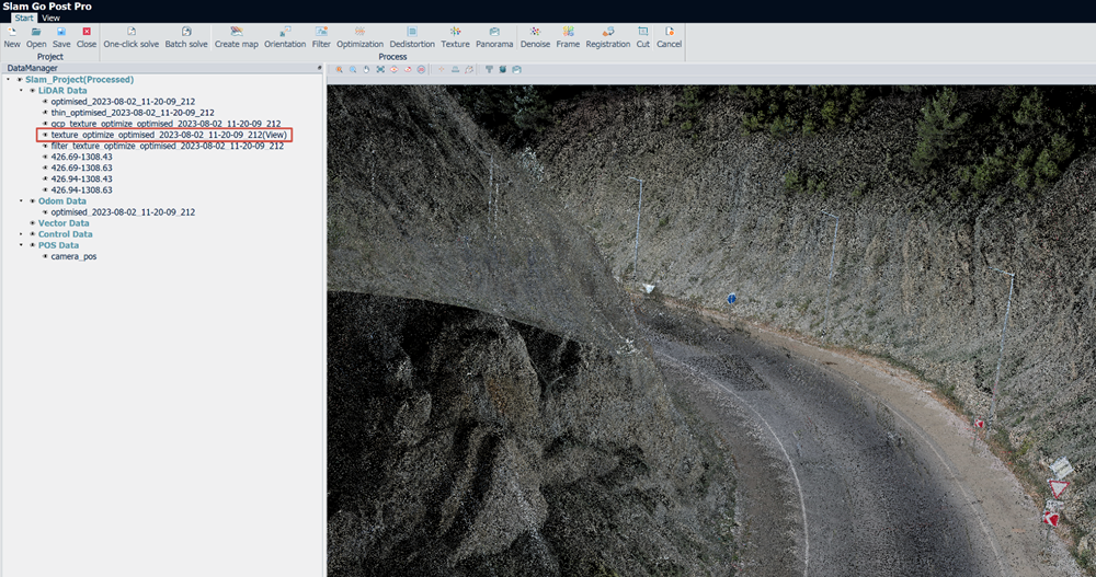
Point cloud display
Trajectory display
Select the trajectory, right-click and choose 'Add to view'. The points highlighted in orange are the scanner trajectory.
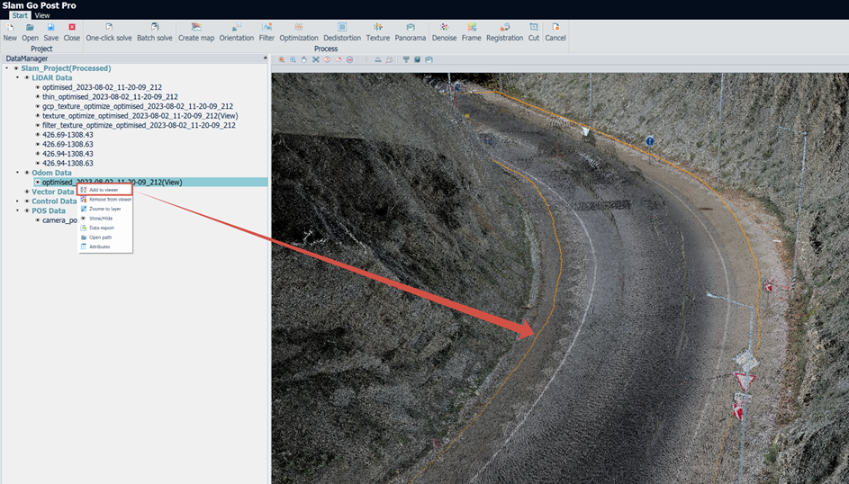
Trajectory display
Viewing panoramas
Select cam_pos, right-click and choose 'Add to View'. The points highlighted in blue are the photo centers.
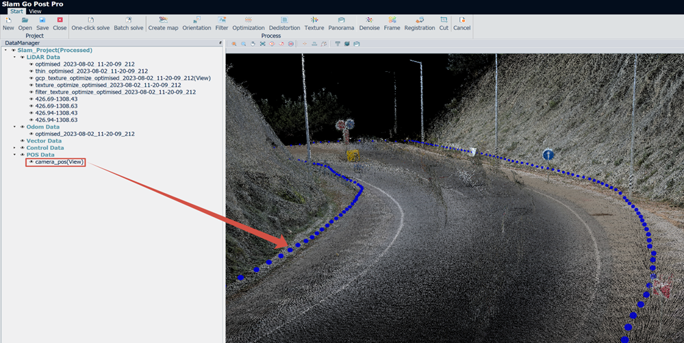
Panorama center display
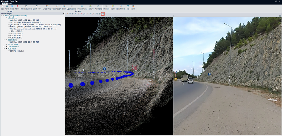
Panorama display
Other functions
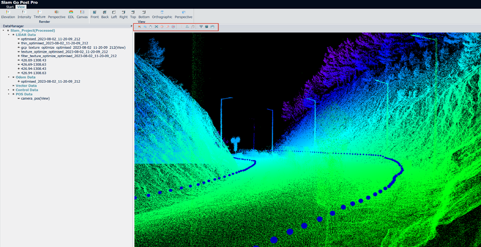
The tools are:
- Zoom in: zoom in on the point cloud
- Zoom out: zoom out of the point cloud
- Pan: pan the point cloud
- Extent: zoom to the layer
- Rotation: rotate the point cloud
- Rotation center: change the rotation center for convenient viewing
- 2D: lock the plan view
- Pick point: select a single point to show its information
- Measure distance: measure the 3D distance between two points
- Measure XYZ: measure the distance between two points along the X, Y, Z axes
- Profile: show point cloud details as a cross-section
- Plan cut: show point cloud details when changing the display boundary.