
3Dsurvey, 1 Month
5
Art. TDCH8503
$260
Specifications
Warranty
:
12 months
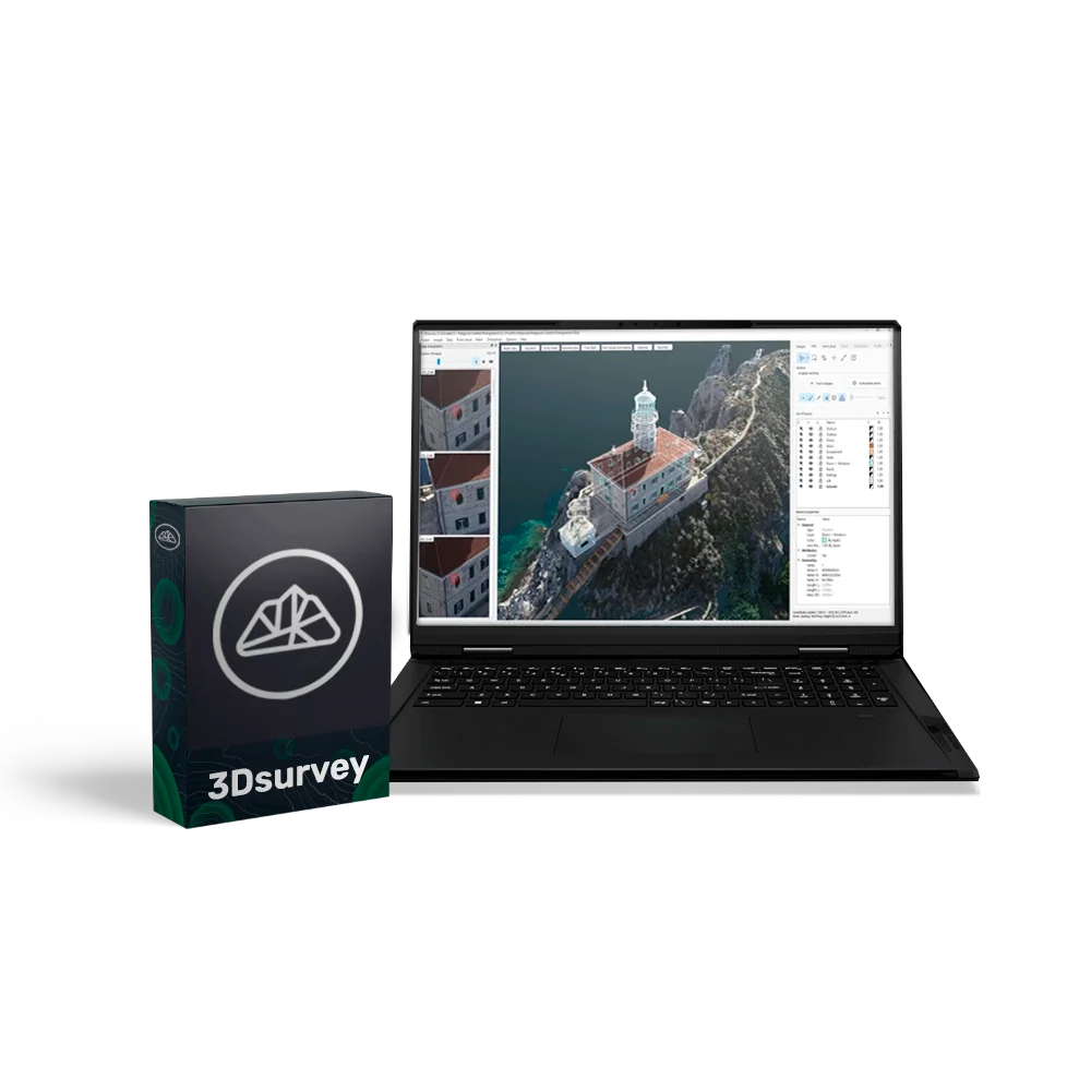
3Dsurvey is a powerful software solution for professional photogrammetry, enabling the creation of accurate 3D models, orthophotos, and digital terrain models. The software provides an easy workflow for working with data from drones, cameras, GNSS, and LiDAR.
3Dsurvey licence for 3 months
The licence provides access to the full functionality of 3Dsurvey for 3 months with the option to extend.
Please note that the price of a subsequent annual renewal depends on when it is purchased:
- Before the licence expires — at the standard price.
- Within 30 days after expiration — with a minimal surcharge.
- More than 30 days after expiration — at the full price.
Benefits of the perpetual licence
- Unlimited access: a one-time purchase with no annual subscriptions or recurring payments.
- Full functionality: all 3Dsurvey features available immediately after installation, including the latest updates.
- Cost efficiency: predictable budgeting with no hidden renewal costs.
- Reliability and stability: a professional tool always available, with no time limitations.
- Technical support and training: one year of support from 3Dsurvey specialists, training materials, video tutorials, and documentation.
Main features
- Photogrammetry — converting series of drone and camera photographs into accurate 3D models and maps.
- CAD integration — export to popular formats for further work in engineering and design software.
- Data analysis and visualisation — tools for analysing point clouds, creating profiles, and performing volume calculations.
- Cloud and digital models — generation of detailed point clouds and digital terrain models for any workflow.
Additional modules (purchased separately):
- Scan — enhanced data accuracy for engineering and environmental projects.
- RTK Videogrammetry — centimetre-level accuracy for highly detailed 3D models and maps.
Fields of application:
- Surveying and cartography — topographic plans, orthophotos, and 3D terrain modelling.
- Construction and architecture — volume control, project planning, and site monitoring.
- Mining industry — measuring excavation and stockpile volumes, terrain analysis.
- Urban planning — creating 3D models of cities and infrastructure.
- Environmental and scientific research — monitoring natural landscapes and analysing terrain changes.
System requirements
- Minimum: Windows 7/8/10 (64-bit), Intel i5 / Ryzen 5, 16 GB RAM, NVIDIA GTX 1050.
- Recommended: Windows 11, Intel i7 / Ryzen 7, 32–64 GB RAM, NVIDIA RTX 5060 Ti, 2 TB SSD.
- Professional level: Intel i9 / Ryzen 9, 64–128 GB RAM, 2× RTX 5060 Ti, 4 TB SSD.
Loading...
Common
Warranty
12 months
