
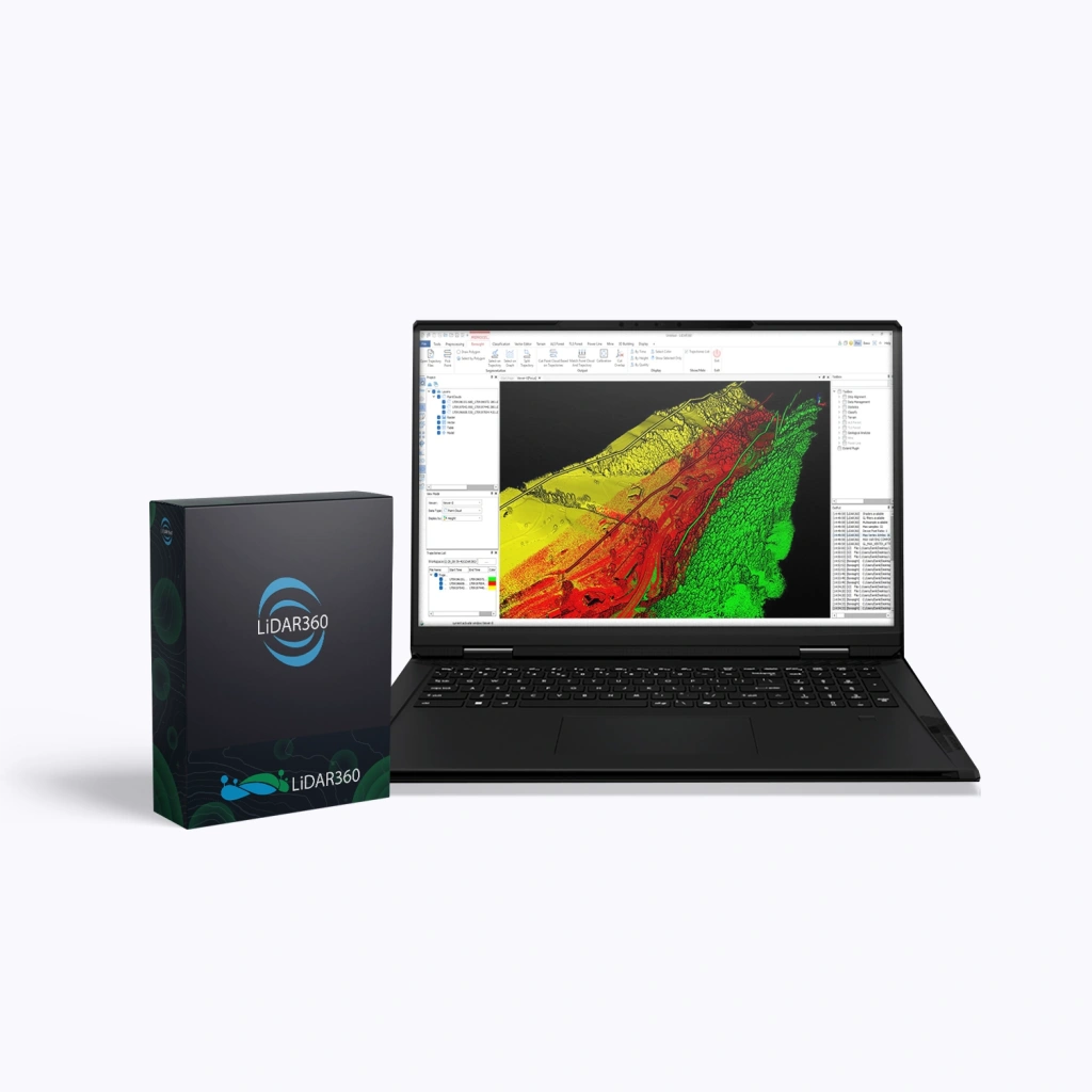
LiDAR360 Professional, Perpetual
LiDAR360 Professional is a powerful software suite by GreenValley International, designed for processing, visualising, and analysing point clouds acquired via UAVs, terrestrial and mobile laser scanners (LiDAR). The software serves as a universal solution for professionals in surveying, cartography, forestry, mining, and construction. By purchasing the LiDAR360 Professional package, users receive the programme’s core (Framework) along with a set of specialised modules.
Perpetual Licence
A perpetual licence grants lifetime use of the purchased version of the software. It is ideal for companies that require a stable working environment and prefer a one-off purchase without subscription dependency.
Terms:
- Validity period: unlimited.
- Updates:
- Minor (patch / build) — free for 1 year after purchase (e.g. V8.01 → V8.1.4), including fixes, stability improvements, and minor feature enhancements.
- Major (version) — not included. Upgrading to a new version (e.g. V8 → V9) is only available via a paid upgrade.
- Technical support: included for 1 year after purchase, with an optional extension thereafter.
- After one year:
- The software continues to operate without restrictions.
- New versions are unavailable without purchasing an upgrade.
- Intelligent data processing – built-in AI modules automatically classify and analyse point clouds.
- High performance – support for multithreaded processing and distributed computing, enabling work with terabyte-scale datasets.
- Versatility – suitable for data from any LiDAR system: aerial, mobile, terrestrial, and photogrammetric.
- Flexible modular structure – the ability to purchase only the tools you need.
- Integration with GIS and CAD – export to widely used formats for downstream workflows.
- Support for clustered and network solutions – server-side and distributed licences for collaborative data processing.
- Visualising and filtering point clouds of any density.
- Automatic object classification (ground, vegetation, buildings, etc.).
- Creating digital terrain models (DEM, DSM) and surface models.
- Extracting engineering, geological, and forestry parameters.
- Building 3D urban models and analysing infrastructure.
- Aligning and synchronising LiDAR datasets with imagery for more accurate analytics.
- Point cloud processing and data quality control
- AI classification (32+ object types)
- Distributed computing and Model Builder
- Support for 60+ data formats
- Automatic generation of DEM, DSM, orthomosaics, and contours
- Contour and breakline editing
- Flood analysis, SVF, and change detection
- AI-driven tree segmentation for 7+ data types
- 18+ tree attributes (height, diameter, volume, etc.)
- 90+ stand-level metrics
- Detection and classification of powerline assets
- Vegetation clearance distance analysis
- Identification of hazardous clearances
- Slope and bench stability analysis
- Stockpile and excavation volume calculations
- Deformation monitoring of mine workings
- Automated LOD2.2 building modelling
- Generation of 10,000+ models in 20 minutes
- Calculation of 8+ building attributes
Advantages
Functionality
The LiDAR360 Professional software package includes a powerful set of tools for:
What’s Included in LiDAR360 Professional
| Modules | Main Functions |
|---|---|
| Framework (Core Platform) |
|
| Terrain (Topography) |
|
| Forestry |
|
| Powerline (Utility Networks) |
|
| Mine (Mining) |
|
| 3D Building (Construction) |
|