
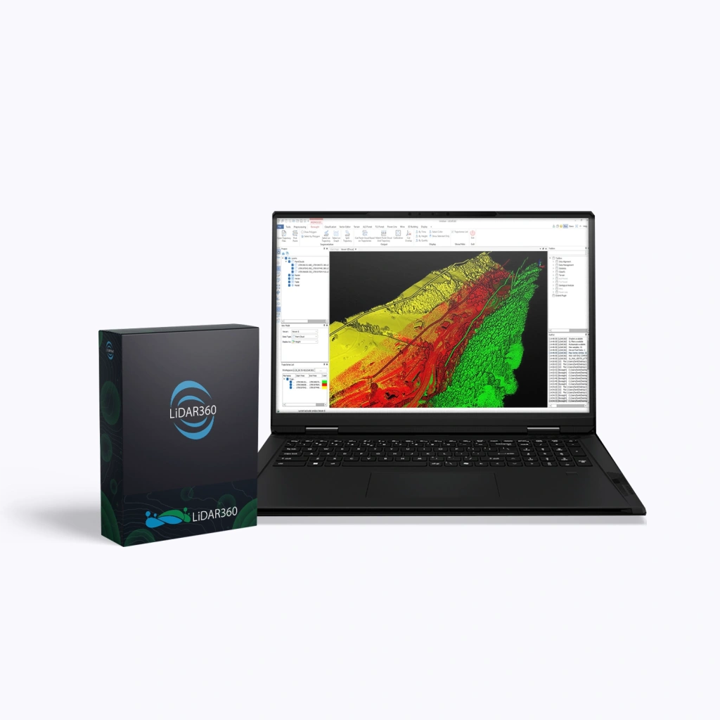
LiDAR360 Framework, Perpetual
LiDAR360 Framework is the core platform for professional spatial data processing, providing powerful tools for analysis, visualisation, and data preparation for subsequent workflows. The software is suitable for specialists in surveying, cartography, forestry, mining, and environmental monitoring, offering a reliable foundation for creating digital terrain models and processing point clouds.
Perpetual Licence
A perpetual licence grants lifetime use of the purchased version of the software.
Terms:
- Validity period: unlimited.
- Updates:
- Minor (patch / build) — free for 1 year after purchase, including fixes, stability improvements, and minor feature enhancements.
- Major (version) — not included. Upgrading to a new version is available only through a paid upgrade.
- Technical support: included for 1 year after purchase, with optional renewal afterwards.
- After one year:
- The software continues to operate without restrictions.
- New versions remain unavailable without purchasing an upgrade.
An optimal solution for companies that require a stable working environment and prefer a one-off purchase without subscription dependency.
Key Capabilities of LiDAR360 Framework
- Powerful analysis tools: point classification, object extraction, generation of digital terrain and surface models (DEM, DSM, DOM), filtering and data quality inspection.
- Large-scale data processing: high performance when working with millions of points, with optimisation for both CPU and GPU.
- Flexibility and integration: support for 60+ data formats, fusion of point clouds and imagery, custom workflow creation via Model Builder.
- AI assistant: automated object classification and segmentation using built-in artificial intelligence algorithms.
- User-friendly interface: intuitive menu structure and clear data visualisation for faster familiarisation and efficient work.
Functionality in LiDAR360 Framework
- Point cloud processing and data quality control,
- AI-based object classification (32+ categories),
- Model Builder and distributed computing,
- Support for 60+ data formats.
To extend functionality and address industry-specific tasks, additional specialised modules from the LiDAR360 suite can be purchased:
| Modules | Main Functions |
|---|---|
| Terrain (Topography) |
|
| Forestry |
|
| Powerline (Utility Networks) |
|
| Mine (Mining) |
|
| 3D Building (Construction) |
|
| Photo Modules (Photogrammetry) |
|