
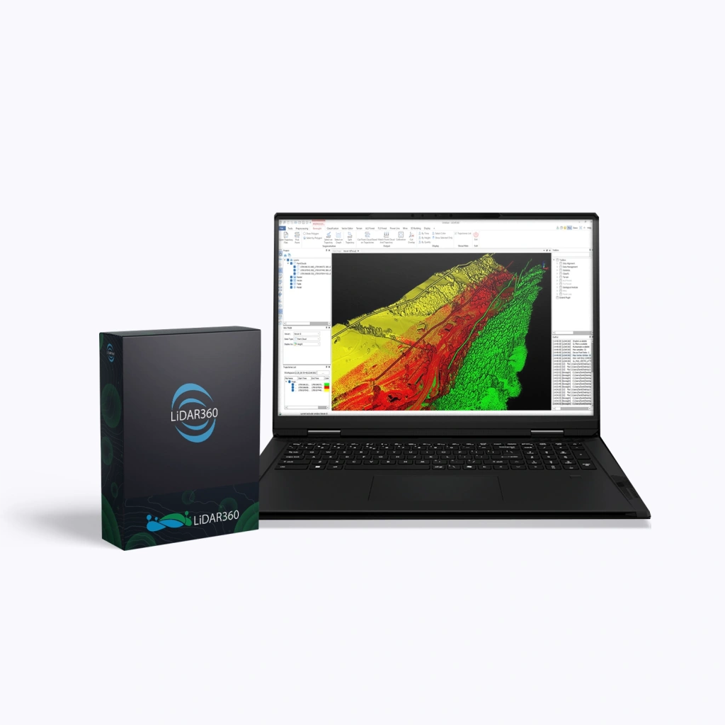
LiDAR360 Professional Full Suite, Perpetual
LiDAR360 Professional Full Suite is a comprehensive solution for advanced spatial data processing developed by GreenValley International. This software package provides a unified platform integrating powerful tools for working with point clouds and imagery — from raw data quality control to the creation of finished industry-specific products and 3D models for digital twins. It is designed for professionals in surveying, mapping, forestry, mining and urban planning who require maximum functionality.
Perpetual Licence
A perpetual licence grants lifetime use of the purchased software version. It is ideal for organisations that require a stable working environment and a one-off purchase without subscription dependence.
Terms:
- Validity: unlimited.
- Updates:
- Minor (patch / build) — free for 1 year after purchase (e.g. V8.01 → V8.1.4); includes bug fixes, stability improvements and minor functionality updates.
- Major (version) — not included. Upgrading to a new major version (e.g. V8 → V9) requires a paid upgrade.
- Technical support: included for 1 year after purchase, with optional renewal thereafter.
- After the first year:
- The software continues to operate without restrictions.
- New versions are unavailable without purchasing an upgrade.
An optimal choice for stable production workflows and organisations with moderate requirements for frequent updates.
Key Capabilities of the Suite
- End-to-end workflow — more than 700 professional tools covering the full pipeline: from data quality inspection and processing to intelligent analysis and final product generation.
- Massive data processing — high-performance visualisation and processing of terabyte-scale datasets using both CPU and GPU acceleration.
- Distributed computing — the Model Builder & Distributed Computing module enables custom workflows and accelerated processing across multiple computing nodes.
- Multi-source and AI integration — support for over 60 data formats, fusion of LiDAR and spectral imagery, built-in AI assistant and AI-based object classification.
- Industry-specific modules — ready-made solutions for topographic mapping, forestry, mining, natural hazard assessment and photogrammetry.
Modules Included in the LiDAR360 Professional Full Suite
| Modules | Main Functions |
|---|---|
| Framework (Base Platform) |
|
| Terrain (Topography) |
|
| Forestry |
|
| Powerline (Utility Networks) |
|
| Mine (Mining) |
|
| 3D Building (Construction) |
|
| Photo Modules (Photogrammetry) |
|