
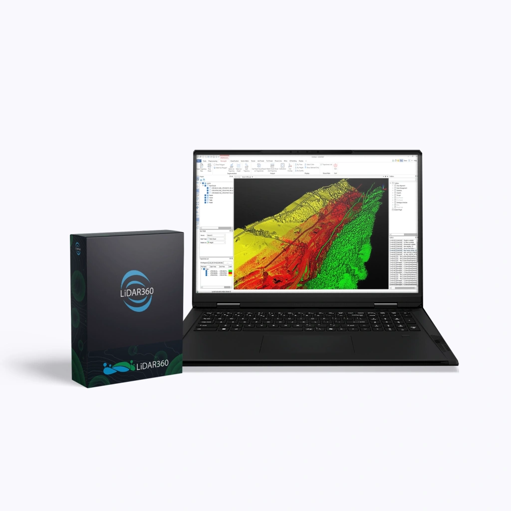
LiDAR360 Professional, 3 Month
LiDAR360 Professional is a powerful software suite by GreenValley International, designed for processing, visualising, and analysing point clouds acquired via UAVs, terrestrial, and mobile laser scanners (LiDAR). The software serves as a universal solution for professionals in surveying, cartography, forestry, mining, and construction. When purchasing the LiDAR360 Professional package, users receive the core platform (Framework) along with a set of specialised modules.
3-Month Licence
A 3-month licence providing access to updates and technical support throughout the entire validity period.
Terms:
- Validity period: 3 months.
- Updates:
- Minor (patch / build) — free for 3 months after purchase (e.g. V8.01 → V8.1.4), including fixes, stability improvements, and minor functionality enhancements.
- Major (version) — not included. Upgrading to a new version (e.g. V8 → V9) is available only via a paid upgrade.
- Technical support is active for the entire licence term.
- At the end of the licence period, access to the software is discontinued.
An optimal solution for companies that require the most up-to-date version of the product at all times, with full access to updates and support at no additional cost.
Advantages
- Intelligent data processing – built-in AI modules automatically classify and analyse point clouds.
- High performance – support for multithreaded processing and distributed computing enables efficient handling of terabyte-scale datasets.
- Versatility – compatible with data from any LiDAR system: aerial, mobile, terrestrial, and photogrammetric.
- Flexible modular structure – purchase only the tools you require.
- Integration with GIS and CAD – export to widely used industry formats for downstream workflows.
- Support for clustered and network environments – server-level and distributed licences for collaborative data processing.
Functionality
The LiDAR360 Professional software package includes a powerful set of tools for:
- Visualising and filtering point clouds of any density.
- Automatic object classification (ground, vegetation, buildings, etc.).
- Creating digital terrain and surface models (DEM, DSM).
- Extracting engineering, geological, and forestry parameters.
- Constructing 3D urban models and performing infrastructure analysis.
- Aligning and synchronising LiDAR data with imagery for increased analytical accuracy.
What’s Included in LiDAR360 Professional
| Modules | Main Functions |
|---|---|
| Framework (Core Platform) |
|
| Terrain (Topography) |
|
| Forestry |
|
| Powerline (Utility Networks) |
|
| Mine (Mining) |
|
| 3D Building (Construction) |
|