
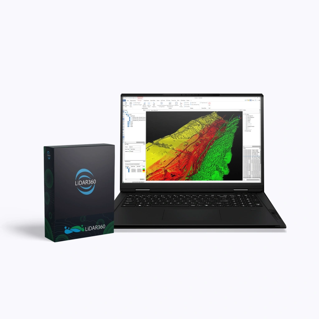
LiDAR360 Professional, 1 Year
LiDAR360 Professional is a powerful software suite by GreenValley International, designed for processing, visualising, and analysing point clouds acquired via UAVs, terrestrial, and mobile laser scanners (LiDAR). The software serves as a universal solution for professionals in surveying, cartography, forestry, mining, and construction. When purchasing the LiDAR360 Professional package, users receive the core platform (Framework) along with a set of specialised modules.
Annual Licence
A 12-month licence providing access to updates and technical support throughout the entire validity period.
Terms:
- Validity period: 12 months.
- Updates:
- Minor (patch / build) — free for 12 months after purchase (e.g. V8.01 → V8.1.4), including bug fixes, stability improvements, and minor functionality enhancements.
- Major (version) — not included. Upgrading to a new version (e.g. V8 → V9) is available only via a paid upgrade.
- Technical support is active throughout the entire licence period.
- At the end of the licence term, access to the software is discontinued.
An optimal solution for companies that need to always work with the latest version of the product, receive all updates, and maintain full support without additional expenses.
Advantages
- Intelligent data processing – built-in AI modules automatically classify and analyse point clouds.
- High performance – support for multithreaded processing and distributed computing enables smooth handling of terabyte-scale datasets.
- Versatility – compatible with data from all LiDAR systems: aerial, mobile, terrestrial, and photogrammetric.
- Flexible modular structure – purchase only the tools you require.
- Integration with GIS and CAD – export data to widely used industry formats for further processing.
- Support for clustered and network environments – server-level and distributed licences for collaborative data processing workflows.
Functionality
The LiDAR360 Professional software package includes a powerful set of tools for:
- Visualising and filtering point clouds of any density.
- Automatic object classification (ground, vegetation, buildings, etc.).
- Creating digital terrain and surface models (DEM, DSM).
- Extracting engineering, geological, and forestry parameters.
- Constructing 3D urban models and performing infrastructure analysis.
- Aligning and synchronising LiDAR data with imagery for improved analytical accuracy.
What’s Included in LiDAR360 Professional
| Modules | Main Functions |
|---|---|
| Framework (Core Platform) |
|
| Terrain (Topography) |
|
| Forestry |
|
| Powerline (Utility Networks) |
|
| Mine (Mining) |
|
| 3D Building (Construction) |
|