
UgCS MAPPER, Perpetual
5
Art. TDCH8211
$610
Specifications
Warranty
:
12 months
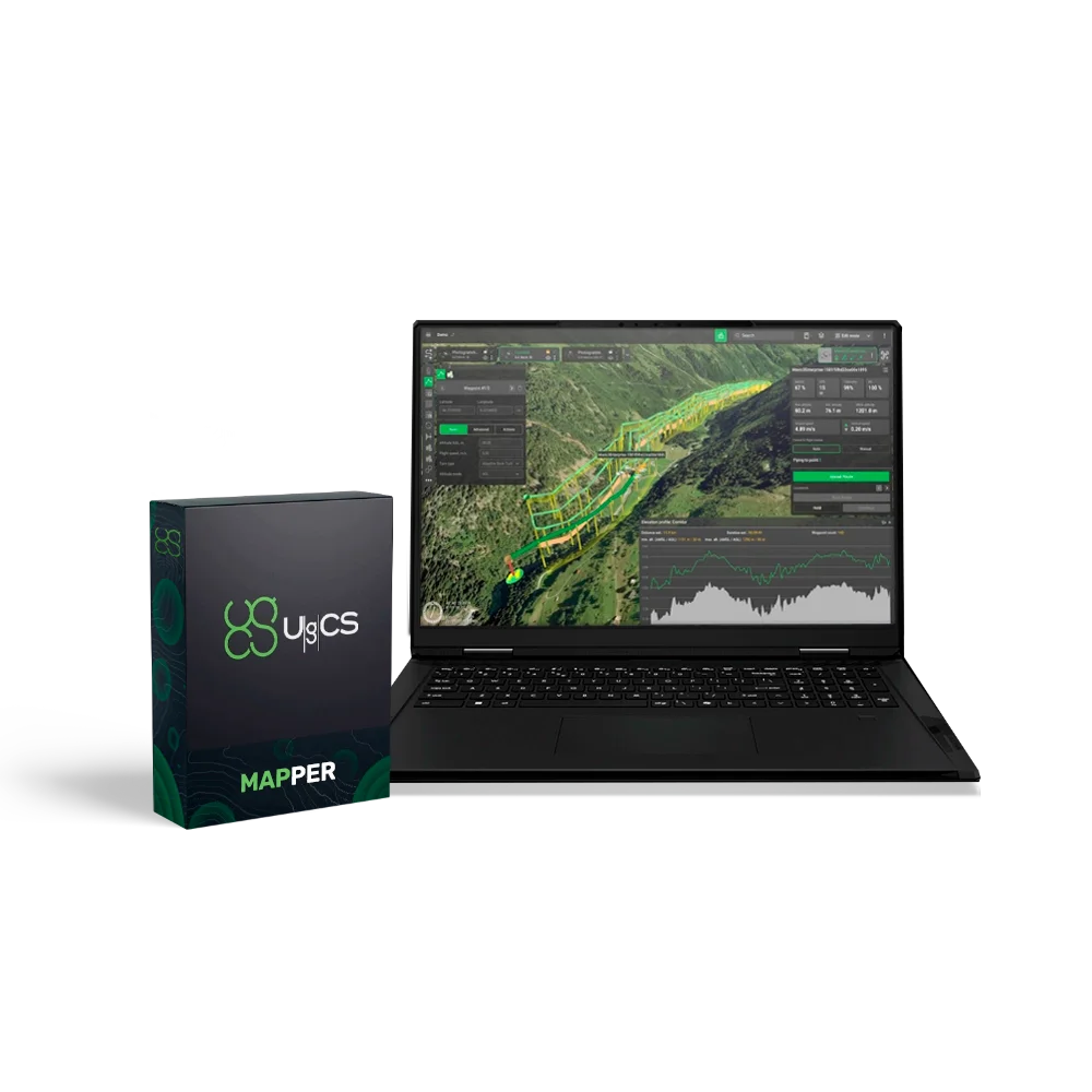
UgCS Mapper is a simple and efficient drone mapping software solution. It converts imagery and video into detailed 2D maps and terrain models. A perpetual licence provides full software functionality without the need for subscription renewals.
Main capabilities:
- Image stitching into maps – creation of orthomosaics from multispectral and standard aerial images, real-time map generation.
- Intuitive data processing – maps and terrain models are generated with a minimal number of steps.
Functionality:
- Orthophoto generation – combining georeferenced images into a single orthophoto map.
- Multispectral camera support – processing 3-channel RGN images, NDVI calculation. Compatible with MicaSense RedEdge-M and RedEdge-MX.
- Creation of DSM/terrain models – generation of digital surface models from georeferenced images.
- Integration with UgCS – export of maps and DSMs for further use in a single step.
Advantages:
- Real-time mapping – up-to-date maps and terrain models are generated without external data sources. This provides accuracy for mission planning and supports emergency response operations.
- Processing of multispectral RGN images – handling 3-channel JPEG (Red-Green-NIR), NDVI index generation for vegetation health assessment.
- Autonomous field operation – full offline processing to check data quality and density before the survey is completed.
How it works:
- Capturing images/video – georeferenced JPEG images (standard for DJI cameras) or video stream from UgCS ENTERPRISE.
- Processing with UgCS Mapper – creation of a map and terrain model with minimal steps.
- Generation of maps and DSM in GeoTIFF format – exporting ready-to-use maps.
- Using exported data – integration with UgCS or other GIS software.
Applications:
- Geodesy and cartography,
- Agriculture,
- Mining and quarrying,
- Solar energy,
- Search and rescue,
- Construction.
Loading...
Common
Warranty
12 months