
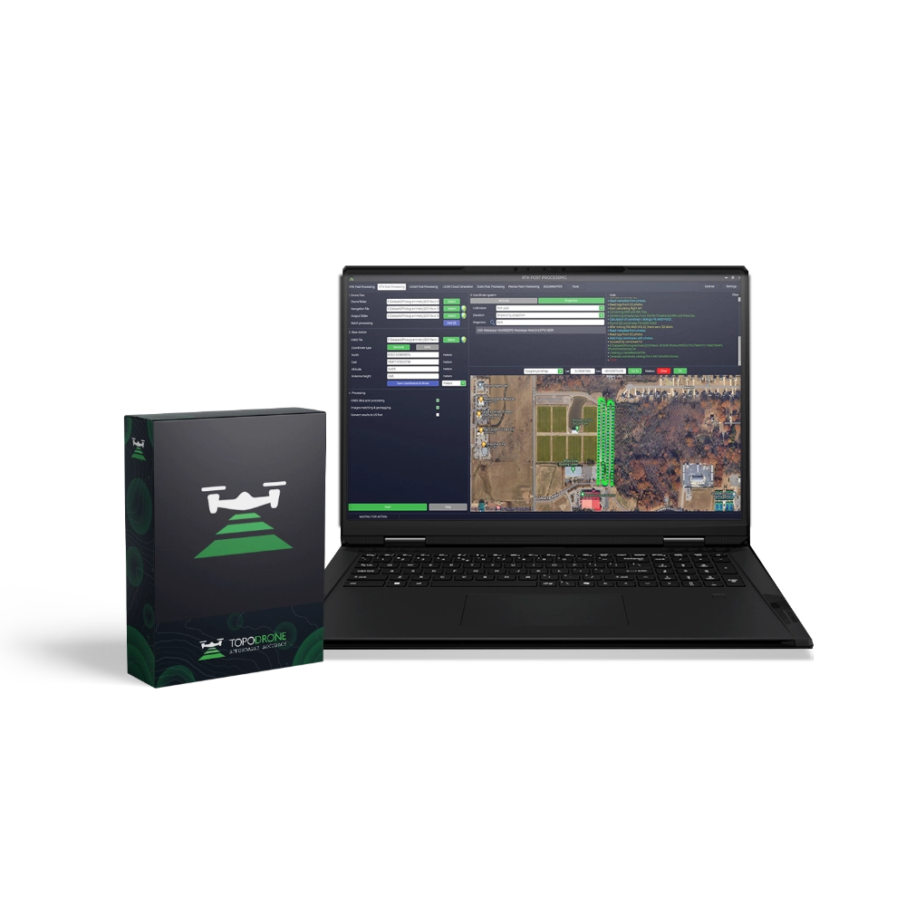
TOPODRONE Post Processing Pro, 1 Year
TOPODRONE Post Processing Pro is a professional software suite for comprehensive data post-processing acquired from TOPODRONE equipment and compatible third-party solutions.
The Pro version includes all the capabilities of Basic and extends them with professional-grade tools such as PPP (Precise Point Positioning) computation, RTK and Static post-processing, and support for UAVs equipped with integrated cameras and GNSS receivers.
The software supports various data formats and is compatible with modern drones and sensors, ensuring high-accuracy georeferencing and reliability for aerial surveying, engineering and geodetic applications. The user-friendly and intuitive interface enables rapid adoption of the full functionality even by users without extensive post-processing experience.
Advantages of the Pro version
- Includes all functionality of the Basic version.
- PPP coordinate computation without the need for a base station.
- Support for RTK and Static Post Processing for comprehensive GNSS data analysis.
- Integrated processing of GNSS receiver and IMU data.
- High-accuracy photo georeferencing, including imagery from drones with built-in RTK/GNSS systems (DJI, Autel, etc.).
- Point cloud generation and laser scanning data calibration.
- Support for local coordinate systems and custom projections.
- Licence valid for 1 year with updates and technical support included.
More detailed information about TOPODRONE Post Processing can be found in the user guide in the TOPODRONE Knowledge Base.
Modules included in the Pro version
| Module | Description |
|---|---|
| PPK Post Processing | Kinematic GNSS post-processing for aerial and terrestrial survey applications. |
| RTK Post Processing | Processing of GNSS observations from aircraft equipped with RTK modules (DJI Mavic 3E, Phantom 4 RTK, Matrice 300/350 RTK, Autel Evo II RTK, etc.). |
| Static Post Processing | Static GNSS data processing, including single-vector computation and network adjustment. |
| Precise Point Positioning (PPP) | High-precision PPP coordinate computation without the use of base stations. |
| LiDAR Cloud Generation | Point cloud generation from laser scanning data and calibration of roll, pitch and heading angles. |
| AQUAMAPPER | Processing of bathymetric data acquired with the TOPODRONE Aquamapper hydrographic system. |
| Tools | Maps, point cloud viewer, projection calibration, RINEX file merging and other auxiliary functions. |
Updates and support
The TOPODRONE Post Processing Pro licence is valid for 1 year. Updates and technical support are included throughout the year. After the licence period ends, the software remains fully functional, but without access to new versions or support until renewal.
System requirements
| Parameter | Minimum | Recommended |
|---|---|---|
| OS | Windows 10 (64-bit) or later | Windows 10 (64-bit) or later |
| Processor | Intel Core 2 Duo | Intel Core i7 |
| RAM | 8 GB | 16 GB |
| Screen resolution | 1440×900 | 1920×1080 |
| Disk space | 700 MB | 700 MB |
| Additional | Dedicated GPU, internet connection for activation, keyboard and mouse | |
Package contents
- TOPODRONE Post Processing Pro licence for 1 year.
- Technical support and updates for the duration of the licence.
- User guide and documentation.
Media


