
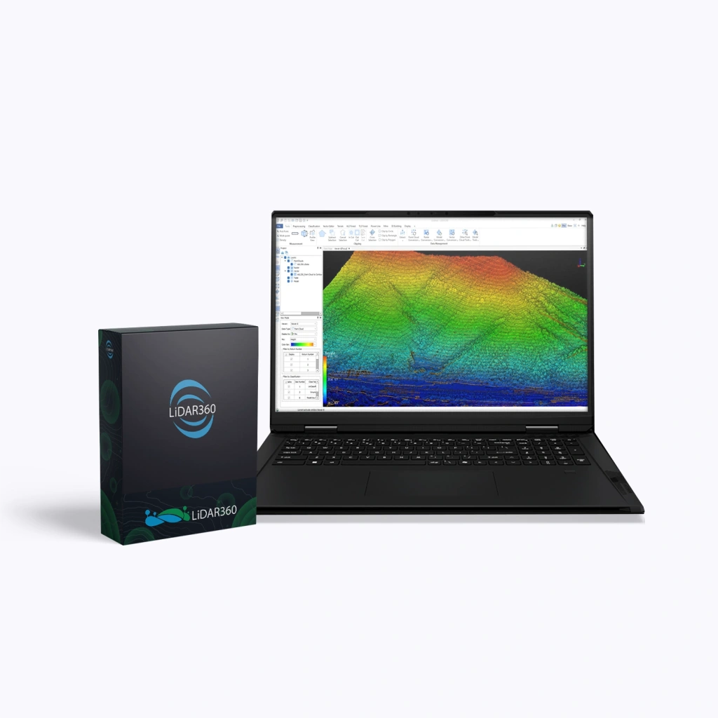
LiDAR360 Terrain, Next Version Upgrade
LiDAR360 Terrain is a professional module for terrain analysis and surface modelling within the LiDAR360 ecosystem. Designed for specialists in surveying, cartography, mining, construction, and environmental monitoring, it offers an extensive set of tools for creating and analysing digital surface models.
Upgrade Licence (Upgrade to the Next Major Version)
A one-time upgrade of an existing licence to the next major version of the module.
Terms:
- Applicable to previous versions (e.g. V8 → V9).
- Upgrading is sequential — skipping versions is not permitted (e.g. V6 → V7 → V8).
- Major upgrade (transition to the next main version).
- Minor updates (patches and builds with fixes and improvements) — free for 1 year.
- Technical support is extended for the full duration of the upgraded licence.
Main Features:
- Digital terrain model creation: automatic generation of DEM, DSM, DOM, and contour lines based on point clouds or photogrammetric data.
- Interactive editing: refinement of contours, breaklines, and specific model areas to improve accuracy.
- Terrain geoanalytics: flooding analysis, slope and aspect calculations, SVF, and terrain change detection.
- High performance: CPU/GPU-optimised processing enabling efficient handling of millions of points without loss of speed or quality.
- Compatibility and integration: support for 60+ spatial data formats and export options for major GIS and CAD platforms.
Who LiDAR360 Terrain Is For:
The module is ideal for professionals working with LiDAR survey data and digital terrain models — from surveyors and engineers to environmental specialists and designers. It simplifies terrain analysis, speeds up data preparation, and ensures high measurement and modelling accuracy.
Conclusion:
LiDAR360 Terrain is a robust and powerful tool that enables efficient work with spatial data and delivers precise terrain analysis results. By choosing a perpetual licence, you invest in a long-term solution that ensures independence from subscriptions and confidence in stable performance.
Enhance the quality of your projects and unlock the full potential of your LiDAR data — get your perpetual licence for LiDAR360 Terrain today!