
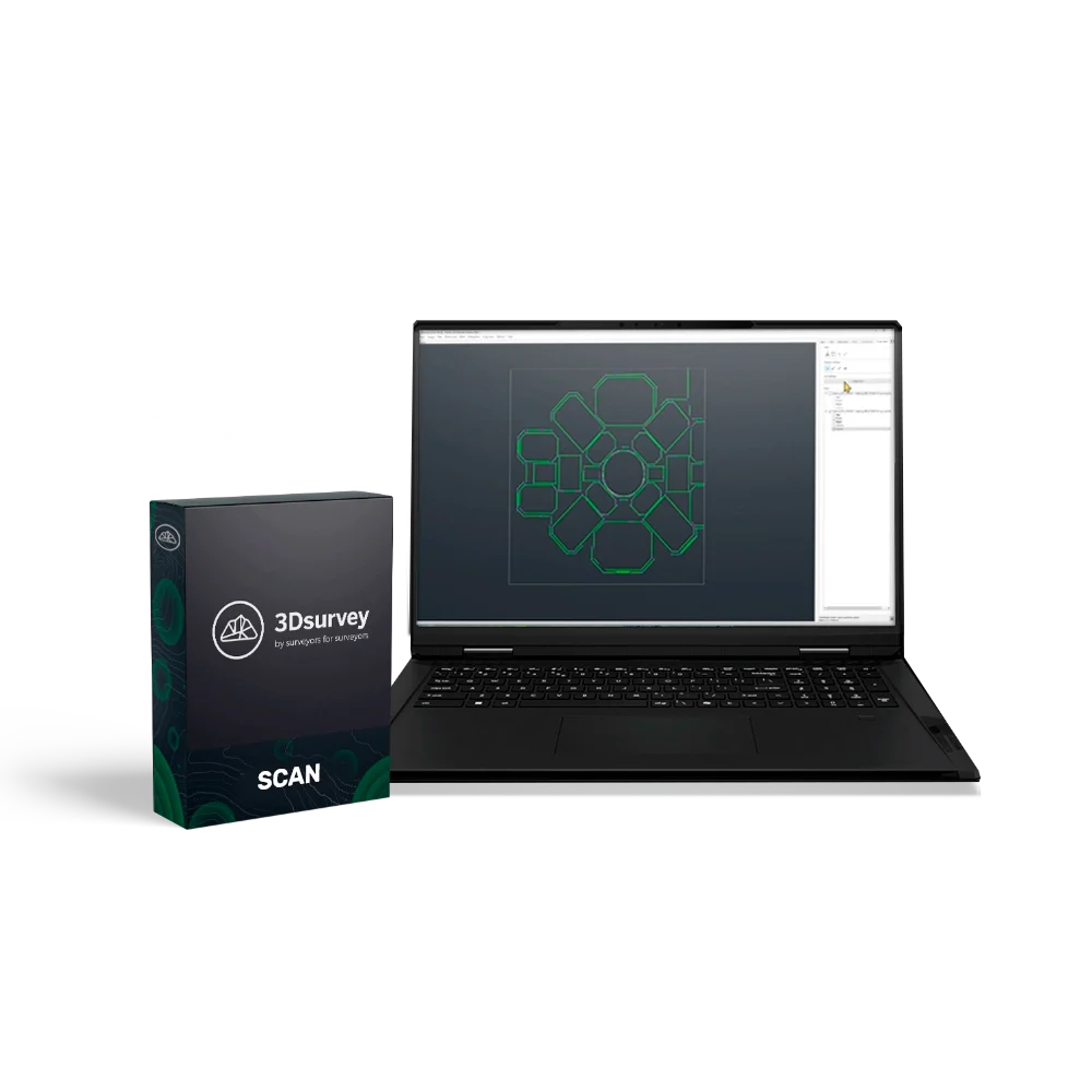
3Dsurvey SCAN Classroom (5 PC), 1 Year
3Dsurvey SCAN is a specialised module for merging, aligning, and analysing point clouds obtained from various sources: LiDAR, SLAM, photogrammetry, and other 3D scanning technologies. The software enables both automatic and manual data registration, viewing of 360° panoramas, using X-ray projections, and automatically extracting lines for creating accurate drawings and plans in CAD.
With support for spherical imagery and tools for visualising scanning attributes, 3Dsurvey SCAN transforms complex point clouds into clear, ready-to-use results — whether it's floor plans, orthophotos, or engineering diagrams.
Educational Licence for 5 PCs
This licence provides access to the additional SCAN module and allows use on 5 computers simultaneously for 1 year with the option for further renewal.
Advantages:
- Unified workspace for 3D data — merging point clouds from different sources without loss of accuracy.
- High-precision alignment — the automatic registration algorithm based on ICP minimises distances between points.
- Interactive 360° panoramas — the ability to inspect and annotate scenes directly within the point cloud.
- Intelligent line extraction — automatic detection of building and structure contours for accelerated plan creation.
- Scanning attribute visualisation — displaying signal intensity, timestamp, and laser return information for data analysis.
- CAD integration — exporting results to a format ready for engineering processing and design.
- Orthophoto creation from point clouds — fast conversion of 3D data into accurate 2D imagery.
Functionality:
- Manual and automatic registration of point clouds.
- Viewing of 360° spherical images from SLAM devices.
- X-ray view for creating plans and profiles.
- Automatic detection of contours and structural lines.
- Visualisation of scanning attributes: intensity, time, trajectory, number of returns.
- Creation of orthophotos from point clouds with RGB data.
Applications:
3Dsurvey SCAN is used across a wide range of professional fields where high-precision spatial data is required:
- Surveying and cartography — processing laser scanning and photogrammetry data.
- Construction and BIM — creating accurate plans, façades, and 3D models of existing structures.
- Architecture and restoration — documenting and analysing historical buildings and heritage sites.
- Engineering surveys — creating digital terrain models, utility layouts, and infrastructure models.
- Urban planning — analysing spatial data and updating cadastral information.
- Mining and industrial sectors — volume control, inventory, and monitoring of facilities.