
3Dsurvey Classroom (5 PC), 1 Year S&U
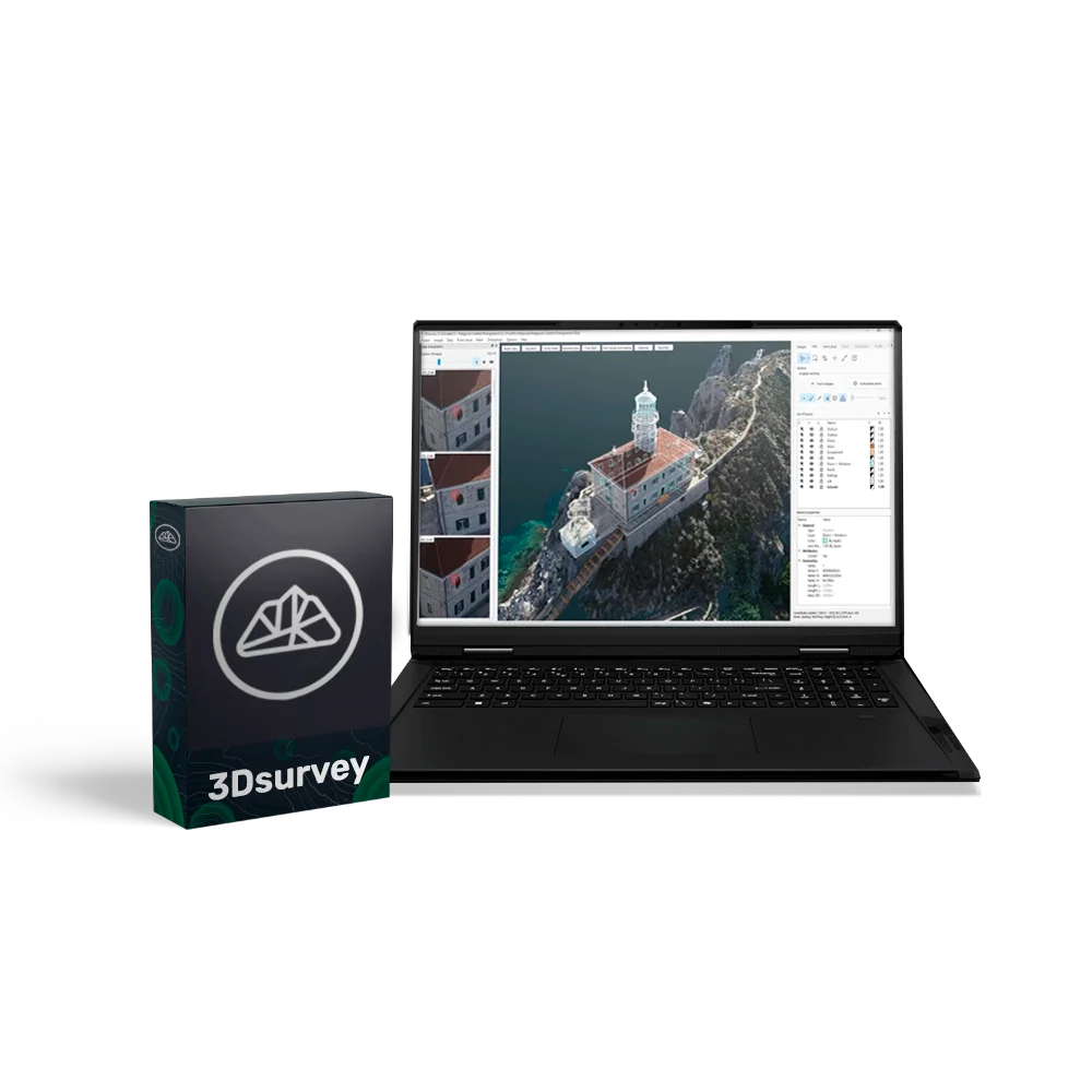
3Dsurvey is a powerful and versatile software suite for photogrammetric data processing, created specifically for professionals in surveying, construction, and cartography. The software allows you to process data from virtually any source — drones, cameras, GNSS, LiDAR, and other geospatial devices — and convert them into accurate 3D models, orthophotos, and digital terrain models.
3Dsurvey integrates the entire workflow — from data acquisition to report generation — in a single convenient interface, significantly increasing productivity and reducing the likelihood of errors.
Educational licence for 5 PCs
This licence provides full 3Dsurvey functionality and allows the software to be used on five computers simultaneously. A 1-year renewal package ensures continued use of the software, support, and updates, with the option for further renewal.
Advantages
- All-in-one: a complete workflow — from photogrammetry and 3D modelling to data analysis and export.
- Compatibility with any equipment: supports all popular drones, cameras, and surveying devices.
- Intuitive interface: easy setup, quick to learn, high processing speed.
- Accurate and detailed processing: centimetre-level accuracy for models and measurements.
- Flexible modular structure: ability to add modules for specialised tasks (Scan, RTK Videogrammetry).
- Cloud access: simple and secure sharing of results via 3Dsurvey Cloud.
Functional capabilities:
- Data capture — import of photos and videos from drones, cameras, GNSS, LiDAR and other sources (supports JPG, PNG, TIFF, MP4, MOV, AVI).
- Photogrammetry and 3D model generation — conversion of 2D imagery into accurate 3D models, orthophotos and digital terrain models.
- Data extraction tools — volume calculations, profiles, lines, contours, and selection of required areas and layers.
- Collaboration — publishing and sharing results through the cloud service, accessible from any device.
- Built-in CAD module — creation and editing of drawings and topographic plans directly within the software.
Additional modules (purchased separately):
- Scan — improves data quality and processing speed, ideal for engineering and environmental applications.
- RTK Videogrammetry — RTK-accurate video capture for highly detailed models and maps.
System requirements
- Minimum: Windows 7/8/10 (64-bit), Intel i5 / Ryzen 5, 16 GB RAM, NVIDIA GTX 1050.
- Recommended: Windows 11, Intel i7 / Ryzen 7, 32–64 GB RAM, NVIDIA RTX 5060 Ti, 2 TB SSD.
- Professional level: Intel i9 / Ryzen 9, 64–128 GB RAM, 2× RTX 5060 Ti, 4 TB SSD.