Knowledge base
Blog
Services
  • Surveying equipment development
    • Drone and VTOL camera development
    • LiDAR development for your brand
  • Surveying services
    • Bathymetric survey service
    • Laser scanning and photogrammetry data processing
    • Laser scanning service
    • Photogrammetry service
  • Surveyor training
    • Comprehensive training in flight and data processing
Company
  • Staff
  • News
  • Reviews
  • Vacancy
  • Licenses
  • Documents
  • Partners
Information
  • Requisites
Brands
Contacts
    +41 21 588 02 11
    +41 21 588 02 11 09:00-18:00 whatsapp.svg
    Sales [email protected] email.png
    Support [email protected] email.png
    Telegram Channel @topodronesa tg.svg
    Telegram Chat @topodronesagroup tg.svg
    Telegram Bot @topodronecombot tg.svg
    Facebook @topodronesa ycz1c9257s6gh7g315r8q6tob3bnddba.png
    Youtube @topodronesa youtube.png
    LinkedIn @topodrone 9ratq3v3eavnhupo1akvxp0sbx4vopj5.png
    X @topodrone twitter.png
    Instagram @topodrone tpxkj71axu6dxt423lwj5idzwcej1njx.png
    Email
    [email protected] - Sales
    [email protected] - Support
    The address
    TOPODRONE SA, Rue de la Gare 13, 1820 Montreux, Switzerland
    Working hours
    10:00-18:00
    TOPODRONE
    SPH Engineering
    3Dsurvey
    Velodyne
    DJI
    GreenValley International
    Honeywell
    Fixar
    Blue Marble Geographics
    Sony
    Agisoft
    EMLID
    Pix4D
    Autel Robotics
    SHAREUAV
    • LiDAR
      LiDAR
      • Aerial Survey LiDAR
      • SLAM Survey LiDAR
      • LiDAR Accessories
    • Bathymetry
      Bathymetry
    • Photogrammetry
      Photogrammetry
      • Mapping Drones
      • Drone Mapping Cameras
      • VTOL Mapping Cameras
    • PPK Upgrade Kits
      PPK Upgrade Kits
      • PPK for Drones
      • PPK for any UAV
    • Spectrography
      Spectrography
      • Thermal
      • Multispectral
    • UAV
      UAV
      • DJI
      • Autel Robotics
      • FIXAR
      • Innotech drone
    • Payload
      Payload
      • Aerial Survey LiDAR
      • Bathymetric Scanner
      • Photogrammetric Cameras
      • Thermal Cameras
      • Multispectral Cameras
      • Beacon
    • Software
      Software
      • TOPODRONE
      • UgCS
      • Agisoft
      • 3Dsurvey
      • LiDAR360
      • DJI
      • PIX4D
    • GNSS Equipment
      GNSS Equipment
      • EMLID
      • DJI
    TOPODRONE – LiDAR & UAV Survey
    Log in
    0 Comparison
    0 Favorites
    0 Cart
    TOPODRONE – LiDAR & UAV Survey
    Log in
    0 Comparison
    0 Favorites
    0 Cart
    TOPODRONE – LiDAR & UAV Survey
    Telephones
    +41 21 588 02 11 09:00-18:00 whatsapp.svg
    Sales [email protected] email.png
    Support [email protected] email.png
    Telegram Channel @topodronesa tg.svg
    Telegram Chat @topodronesagroup tg.svg
    Telegram Bot @topodronecombot tg.svg
    Facebook @topodronesa ycz1c9257s6gh7g315r8q6tob3bnddba.png
    Youtube @topodronesa youtube.png
    LinkedIn @topodrone 9ratq3v3eavnhupo1akvxp0sbx4vopj5.png
    X @topodrone twitter.png
    Instagram @topodrone tpxkj71axu6dxt423lwj5idzwcej1njx.png
    Email
    [email protected] - Sales
    [email protected] - Support
    The address
    TOPODRONE SA, Rue de la Gare 13, 1820 Montreux, Switzerland
    Working hours
    10:00-18:00
    0
    0
    0
    • Cabinet
    • 0 Compare
    • 0 Favorite
    • 0 Cart
    • Brands
    • Sales
    • Services
      • Services
      • Surveying equipment development
        • Surveying equipment development
        • Drone and VTOL camera development
        • LiDAR development for your brand
      • Surveying services
        • Surveying services
        • Bathymetric survey service
        • Laser scanning and photogrammetry data processing
        • Laser scanning service
        • Photogrammetry service
      • Surveyor training
        • Surveyor training
        • Comprehensive training in flight and data processing
    • Company
      • Company
      • Staff
      • News
      • Reviews
      • Vacancy
      • Licenses
      • Documents
      • Partners
    • Blog
    • Information
      • Information
      • Requisites
    • Contacts
    +41 21 588 02 11 09:00-18:00
    • Telephones
    • +41 21 588 02 11 09:00-18:00
      whatsapp.svg
    • Sales [email protected]
      email.png
    • Support [email protected]
      email.png
    • Telegram Channel @topodronesa
      tg.svg
    • Telegram Chat @topodronesagroup
      tg.svg
    • Telegram Bot @topodronecombot
      tg.svg
    • Facebook @topodronesa
      ycz1c9257s6gh7g315r8q6tob3bnddba.png
    • Youtube @topodronesa
      youtube.png
    • LinkedIn @topodrone
      9ratq3v3eavnhupo1akvxp0sbx4vopj5.png
    • X @topodrone
      twitter.png
    • Instagram @topodrone
      tpxkj71axu6dxt423lwj5idzwcej1njx.png
    • [email protected] - Sales
      [email protected] - Support
    • TOPODRONE SA, Rue de la Gare 13, 1820 Montreux, Switzerland
    • 10:00-18:00
    Main
    Products
    Software
    3Dsurvey
    3Dsurvey Classroom (40 PC), 1 Year S&U
    3Dsurvey Classroom (40 PC), 1 Year S&U

    3Dsurvey Classroom (40 PC), 1 Year S&U

    5
    Art. TDCH8517
    $710
    Available
    Specifications
    Warranty : 12 months
    $710
    Available
    • Description
    • Reviews
    • Specifications

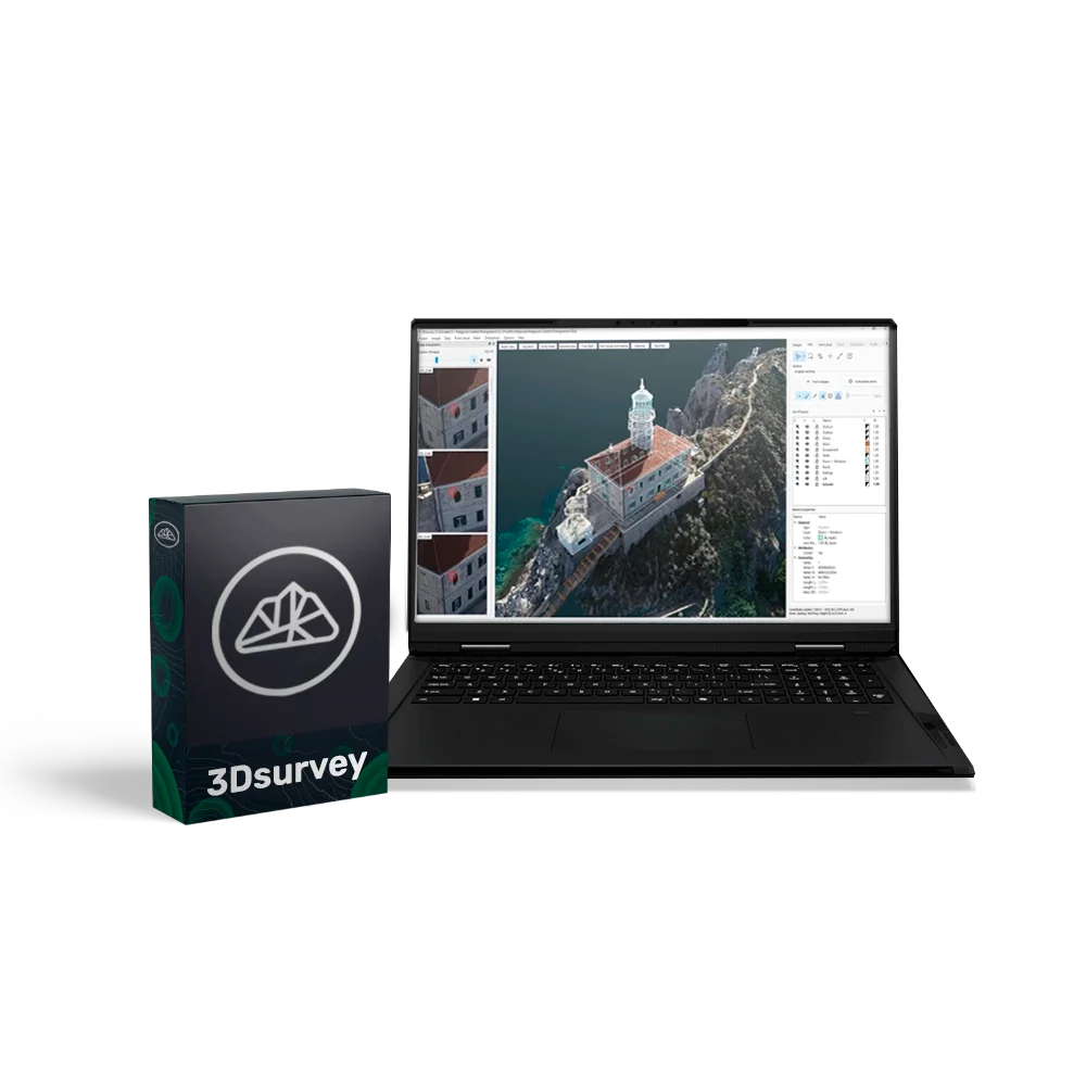
    3Dsurvey is a powerful and versatile software suite for photogrammetric data processing, created specifically for professionals in surveying, construction and cartography. The software allows you to process data from almost any source — drones, cameras, GNSS, LiDAR and other geospatial devices — and convert them into accurate 3D models, orthophotos and digital terrain models.

    3Dsurvey combines the entire workflow — from data acquisition to report generation — into a single convenient interface, significantly increasing productivity and reducing the likelihood of errors.

    Educational licence for 40 PCs

    This licence provides full 3Dsurvey functionality and allows the software to be used on 40 computers simultaneously. A 1-year renewal package ensures continued software use, support and updates, with the option of further renewal.

    Advantages

    • All-in-one: a complete workflow — from photogrammetry and 3D modelling to data analysis and export.
    • Compatibility with any equipment: support for all popular drones, cameras and surveying devices.
    • Intuitive interface: easy configuration, fast learning curve, high processing speed.
    • Accurate and detailed processing: centimetre-level precision for models and measurements.
    • Flexible modular structure: ability to add modules for specialised tasks (Scan, RTK Videogrammetry).
    • Cloud access: simple and secure sharing of results via 3Dsurvey Cloud.

    Functional capabilities:

    • Data capture — import of photos and video from drones, cameras, GNSS, LiDAR and other sources (support for JPG, PNG, TIFF, MP4, MOV, AVI).
    • Photogrammetry and 3D model generation — transforming 2D imagery into accurate 3D models, orthophotos and digital terrain models.
    • Data extraction tools — volume calculation, profiles, lines, contours, selection of required areas and layers.
    • Collaboration — publishing and sharing results via the cloud service, access from any device.
    • Built-in CAD module — creating and editing drawings and topographic plans directly inside the software.

    Additional modules (purchased separately):

    • Scan — improves data quality and processing speed, ideal for engineering and environmental tasks.
    • RTK Videogrammetry — video capture with RTK-level accuracy for highly detailed models and maps.

    System requirements

    • Minimum: Windows 7/8/10 (64-bit), Intel i5 / Ryzen 5, 16 GB RAM, NVIDIA GTX 1050.
    • Recommended: Windows 11, Intel i7 / Ryzen 7, 32–64 GB RAM, NVIDIA RTX 5060 Ti, 2 TB SSD.
    • Professional level: Intel i9 / Ryzen 9, 64–128 GB RAM, 2× RTX 5060 Ti, 4 TB SSD.

    Loading...
    5
    Common
    Warranty
    12 months