





Knowledge base
Blog
Services
  • Aerial Photography
    • UAV Monitoring & Inspections
    • UAV Photogrammetry
  • Laser Scanning
    • Aerial Laser Scanning
    • Quarry Surveying
    • Topographical Surveying
  • Training
    • UAV Pilot Course: Photogrammetry & ALS
Company
  • Staff
  • News
  • Reviews
  • Vacancy
  • Licenses
  • Documents
  • Partners
Information
  • Requisites
Brands
Contacts
    +41 21 588 02 11
    +41 21 588 02 11 09:00-18:00 whatsapp.svg
    Sales info@topodrone.com email.png
    Support support@topodrone.com email.png
    Telegram Channel @topodronesa tg.svg
    Telegram Chat @topodronesagroup tg.svg
    Telegram Bot @topodronecombot tg.svg
    Facebook @topodronesa ycz1c9257s6gh7g315r8q6tob3bnddba.png
    Youtube @topodronesa youtube.png
    LinkedIn @topodrone 9ratq3v3eavnhupo1akvxp0sbx4vopj5.png
    X @topodrone twitter.png
    Instagram @topodrone tpxkj71axu6dxt423lwj5idzwcej1njx.png
    Email
    info@topodrone.com - Sales
    support@topodrone.com - Support
    The address
    TOPODRONE SA, Chemin du Closel 5, 1020, RENENS, Switzerland
    Working hours
    10:00-18:00
    TOPODRONE
    SPH Engineering
    3Dsurvey
    Velodyne
    DJI
    GreenValley International
    Honeywell
    Fixar
    Blue Marble Geographics
    Sony
    Agisoft
    EMLID
    Pix4D
    Autel Robotics
    SHAREUAV
    • LiDAR
      LiDAR
      • Aerial Survey LiDAR
      • SLAM Survey LiDAR
      • LiDAR Accessories
    • Bathymetry
      Bathymetry
    • Photogrammetry
      Photogrammetry
      • Mapping Drones
      • Drone Mapping Cameras
      • VTOL Mapping Cameras
    • PPK Upgrade Kits
      PPK Upgrade Kits
      • PPK for Drones
      • PPK for any UAV
    • Spectrography
      Spectrography
      • Thermal
      • Multispectral
    • UAV
      UAV
      • DJI
      • Autel Robotics
      • FIXAR
      • Innotech drone
    • Payload
      Payload
      • Aerial Survey LiDAR
      • Bathymetric Scanner
      • Photogrammetric Cameras
      • Thermal Cameras
      • Multispectral Cameras
      • Beacon
    • Software
      Software
      • TOPODRONE
      • UgCS
      • Agisoft
      • 3Dsurvey
      • LiDAR360
      • DJI
      • PIX4D
    • GNSS Equipment
      GNSS Equipment
      • EMLID
      • DJI
    TOPODRONE – LiDAR & UAV Survey
    Log in
    0 Comparison
    0 Favorites
    0 Cart
    TOPODRONE – LiDAR & UAV Survey
    Log in
    0 Comparison
    0 Favorites
    0 Cart
    TOPODRONE – LiDAR & UAV Survey
    Telephones
    +41 21 588 02 11 09:00-18:00 whatsapp.svg
    Sales info@topodrone.com email.png
    Support support@topodrone.com email.png
    Telegram Channel @topodronesa tg.svg
    Telegram Chat @topodronesagroup tg.svg
    Telegram Bot @topodronecombot tg.svg
    Facebook @topodronesa ycz1c9257s6gh7g315r8q6tob3bnddba.png
    Youtube @topodronesa youtube.png
    LinkedIn @topodrone 9ratq3v3eavnhupo1akvxp0sbx4vopj5.png
    X @topodrone twitter.png
    Instagram @topodrone tpxkj71axu6dxt423lwj5idzwcej1njx.png
    Email
    info@topodrone.com - Sales
    support@topodrone.com - Support
    The address
    TOPODRONE SA, Chemin du Closel 5, 1020, RENENS, Switzerland
    Working hours
    10:00-18:00
    0
    0
    0
    • Cabinet
    • 0 Compare
    • 0 Favorite
    • 0 Cart
    • Brands
    • Sales
    • Services
      • Services
      • Aerial Photography
        • Aerial Photography
        • UAV Monitoring & Inspections
        • UAV Photogrammetry
      • Laser Scanning
        • Laser Scanning
        • Aerial Laser Scanning
        • Quarry Surveying
        • Topographical Surveying
      • Training
        • Training
        • UAV Pilot Course: Photogrammetry & ALS
    • Company
      • Company
      • Staff
      • News
      • Reviews
      • Vacancy
      • Licenses
      • Documents
      • Partners
    • Blog
    • Information
      • Information
      • Requisites
    • Contacts
    +41 21 588 02 11 09:00-18:00
    • Telephones
    • +41 21 588 02 11 09:00-18:00
      whatsapp.svg
    • Sales info@topodrone.com
      email.png
    • Support support@topodrone.com
      email.png
    • Telegram Channel @topodronesa
      tg.svg
    • Telegram Chat @topodronesagroup
      tg.svg
    • Telegram Bot @topodronecombot
      tg.svg
    • Facebook @topodronesa
      ycz1c9257s6gh7g315r8q6tob3bnddba.png
    • Youtube @topodronesa
      youtube.png
    • LinkedIn @topodrone
      9ratq3v3eavnhupo1akvxp0sbx4vopj5.png
    • X @topodrone
      twitter.png
    • Instagram @topodrone
      tpxkj71axu6dxt423lwj5idzwcej1njx.png
    • info@topodrone.com - Sales
      support@topodrone.com - Support
    • TOPODRONE SA, Chemin du Closel 5, 1020, RENENS, Switzerland
    • 10:00-18:00
    Main
    Products
    LiDAR
    SLAM Survey LiDAR
    Pocket 3D
    Pocket 3D
    Pocket 3D
    Pocket 3D
    Pocket 3D
    Pocket 3D
    Pocket 3D
    Pocket 3D
    Pocket 3D
    Pocket 3D
    Pocket 3D
    Pocket 3D
    Pocket 3D
    Pocket 3D
    Pocket 3D
    Recommend
    New

    Pocket 3D

    5
    $999
    Available
    Specifications
    Year of release : 2026
    Warranty : 12 months
    Weight : 700 g
    Product Dimensions : 127 × 105 × 223 mm
    Operating Temperature Range : от −20 до +50 °C
    Recording Data to a Memory Card : Yes
    Camera Integration : No
    Built-in Cameras : No
    Battery : Replaceable
    Max. Beam Length : 100 m
    All Specifications
    Description
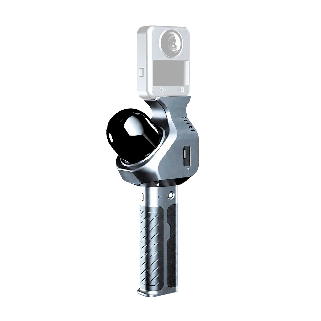
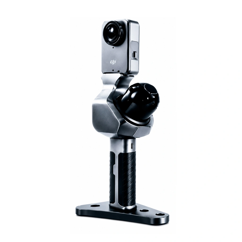
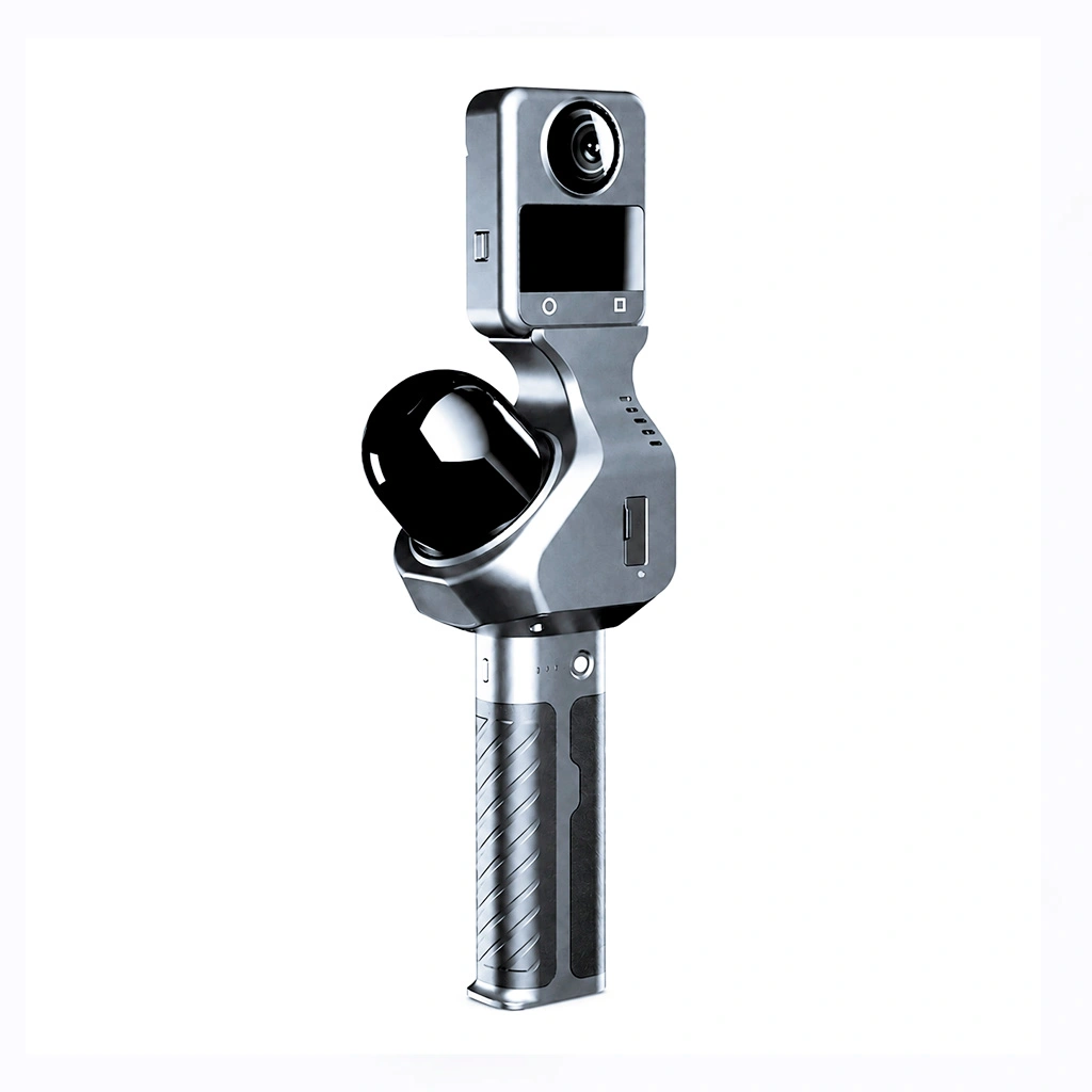
    Handheld SLAM scanner for DJI Osmo 360 and Insta360 cameras — quick to set up, with ready-to-use 3D models. Ideal for beginners.
    More details
    $999
    Available
    • Description
    • Reviews
    • Specifications
    • Documents

    Pocket 3D — a handheld 3D scanner for digitising real-world spaces

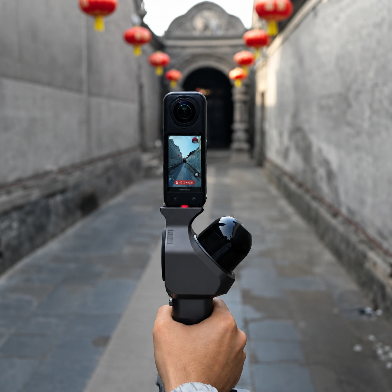
    Pocket 3D is designed for scanning indoor spaces, industrial sites, structures and open areas. The scanner captures geometry while in motion and builds its trajectory using SLAM, so no external markers need to be set up beforehand.

    The system creates 1:1 digital replicas of real-world spaces. With a compatible panoramic camera attached, a single scan delivers a coloured point cloud, panoramic images and a photorealistic 3DGS model. The data can also be used to build mesh and BIM models in third-party software.

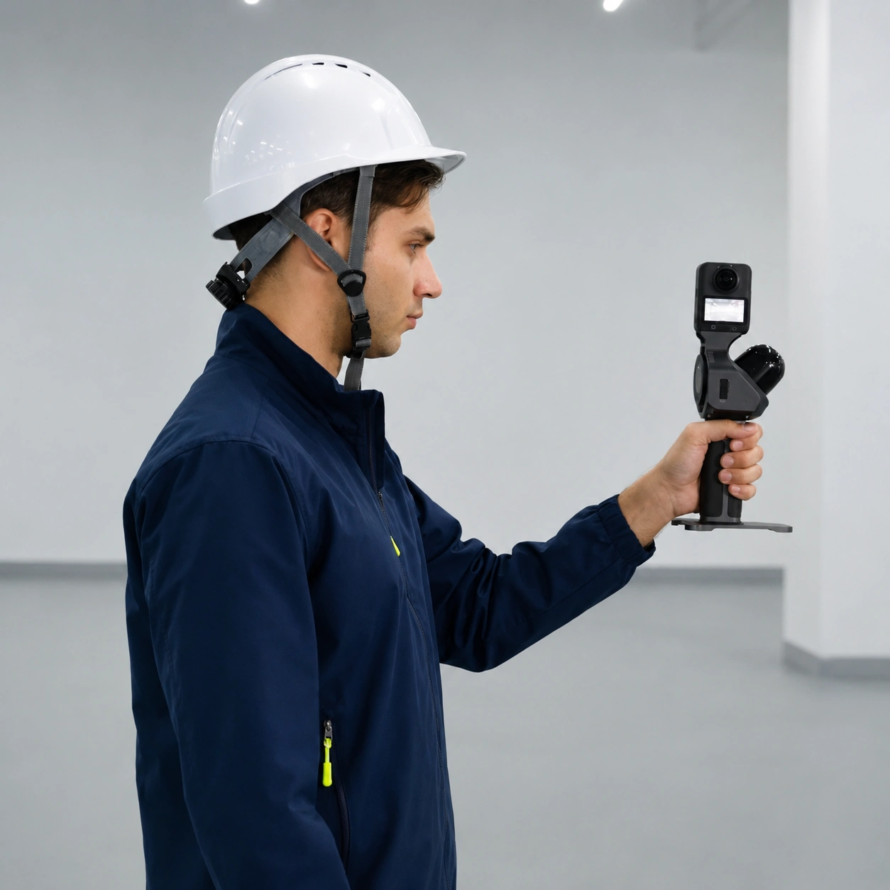
    Pocket 3D weighs 700 g without a camera. The scanner fits in one hand, runs for up to three hours at room temperature and is rated for operation from −20 to +50 °C. The SLAM GO POST Pro software is included as standard.

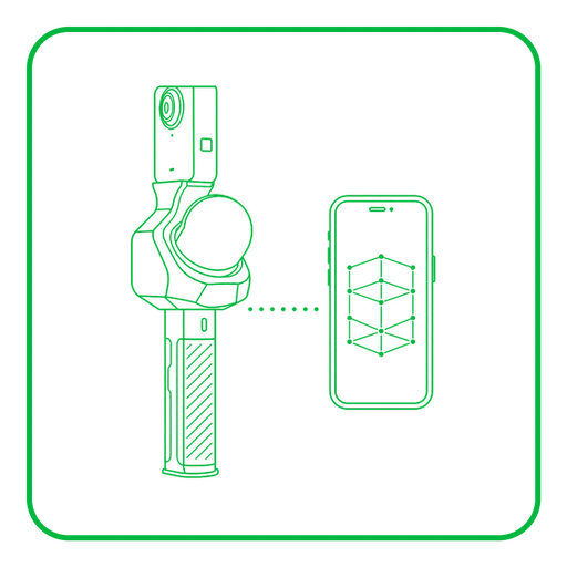
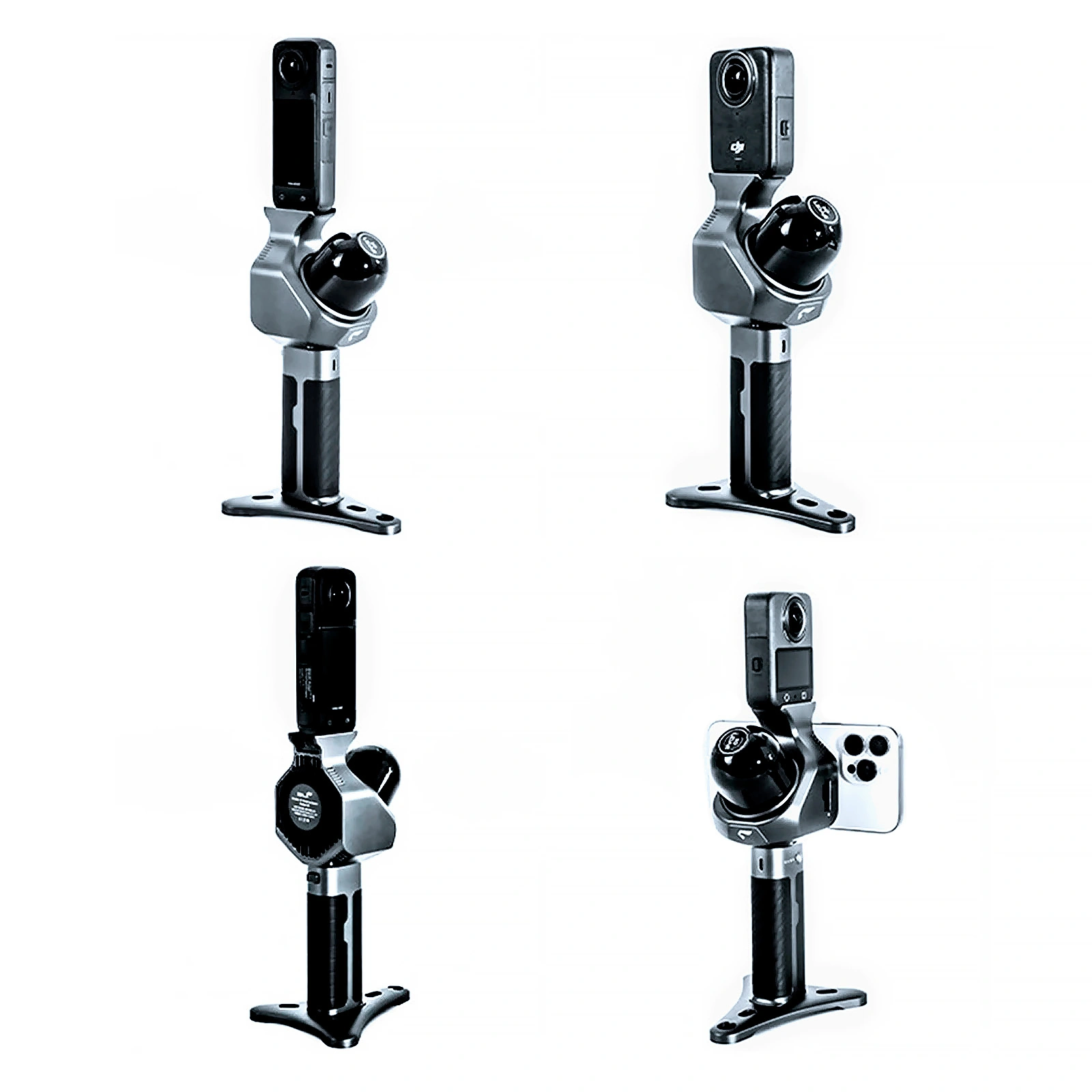
    Well suited to first-time users too. The handheld form factor, straightforward start-up routine and plug-and-play camera connection make it easy to begin scanning without any complicated equipment setup. A smartphone attaches to the magnetic mount, and the mobile app lets you watch the scan progress in real time and check coverage of the site.
    Centimetre-level LiDAR accuracy Centimetre-level accuracy

    2 cm at a range of 60 m
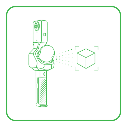
    1:1 digital replica of a real-world space 1:1 scale

    A digital replica of the real space
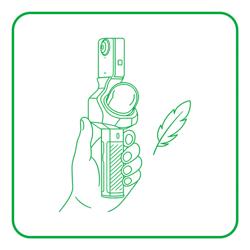
    Lightweight handheld Pocket 3D scanner 700 g without a camera

    Scan with one hand

    SP20 battery with up to three hours of runtime Up to 3 hours

    SP20 battery

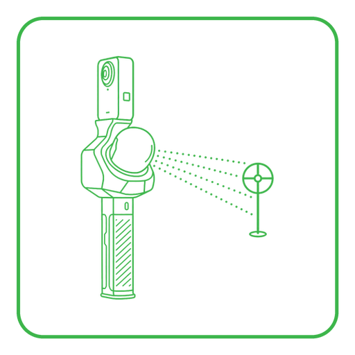
    360-degree LiDAR scanning 360° LiDAR

    48,000 points per second

    Scan monitoring on a smartphone Smartphone monitoring

    Watch the scan in real time

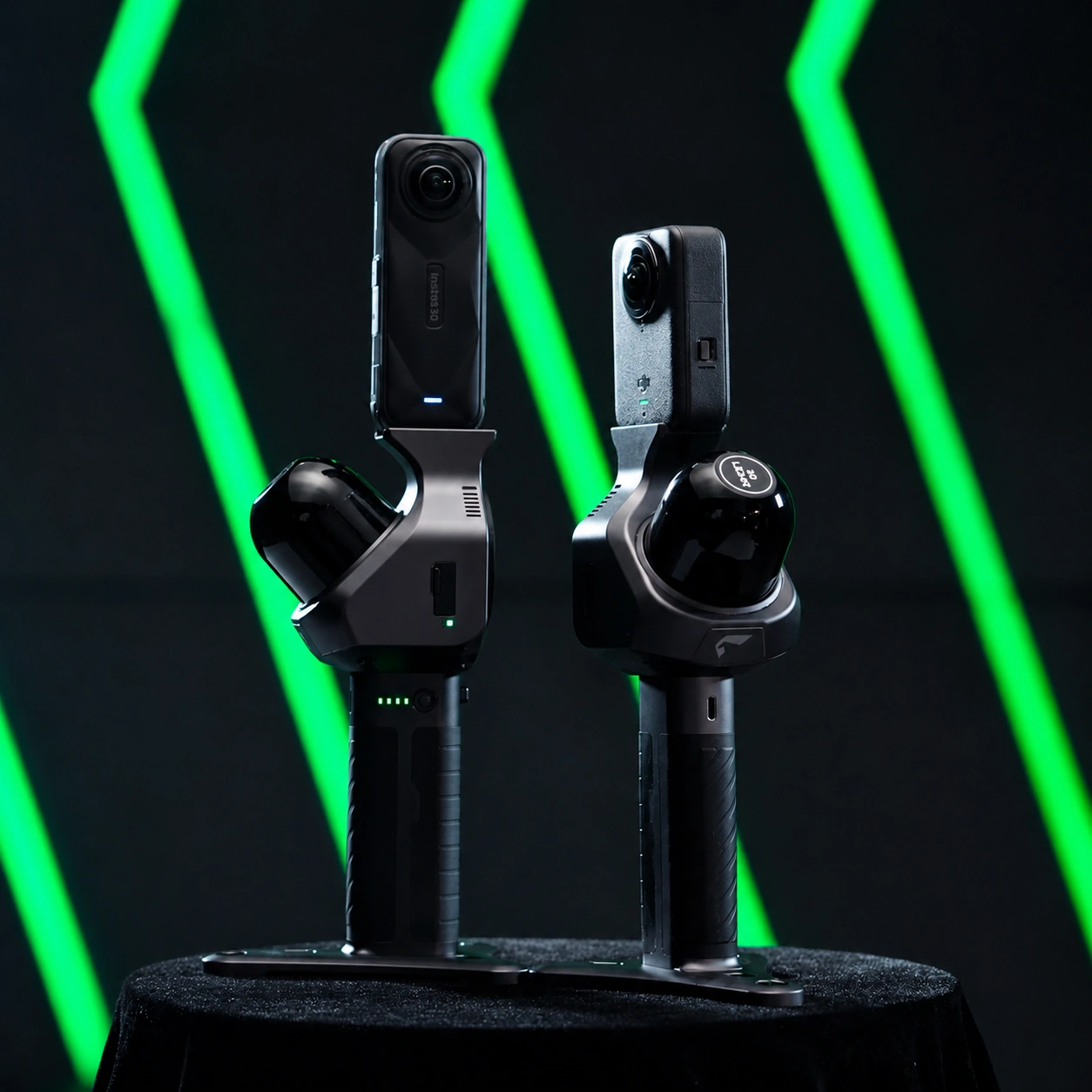
    Compatible panoramic cameras

    The panoramic camera records visual data for colourising the point cloud, producing panoramas and building the 3DGS model. Connection requires no complicated setup.
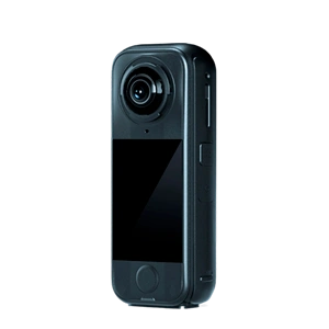
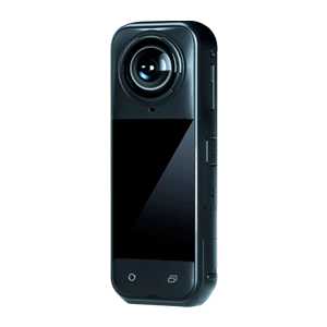
    Insta360 X4 Air panoramic cameraInsta360 X4 Air
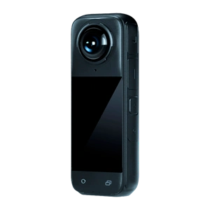
    Insta360 X4 panoramic cameraInsta360 X4
    Insta360 X5 panoramic cameraInsta360 X5
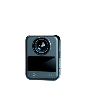
    DJI Osmo 360 panoramic cameraDJI Osmo 360

    A coloured point cloud, panoramic images and the 3DGS model require an external camera. The camera is purchased separately unless included in your chosen bundle.

    Scan deliverables

    • Point cloud — a measurable spatial structure of the site for analysis, measurements and further modelling.
    • Panoramic images — a visual record of the site, referenced to the trajectory and the point cloud.
    • 3DGS model — a photorealistic digital scene for virtual walkthroughs, presentations, digital twins, film, games and AI simulations.
    • Mesh model — a triangulated mesh for visualisation and further editing in third-party professional software.
    • BIM model — an engineering model of structures and building services, created in third-party professional software.

    SLAM GO POST Pro software

    The SLAM GO POST Pro software is included with Pocket 3D and is designed for processing the data on a computer. The program can generate the point cloud, panoramas and the 3DGS model at the press of a single button.

    • generation of high-accuracy point clouds;
    • creation of photorealistic 3DGS models;
    • stitching of high-resolution panoramic images;
    • visualisation and review of results;
    • measurements and annotations;
    • batch processing and project management;
    • merging of data from multiple passes;
    • export of frames, their pose parameters and COLMAP data for third-party software.
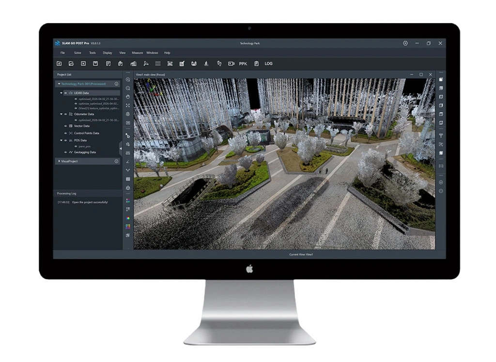
    SLAM GO POST Pro software interface

    Applications

    Industrial site and equipment

    Industry

    Scanning of production halls, equipment and building services for refurbishment, inspection and the preparation of digital models.
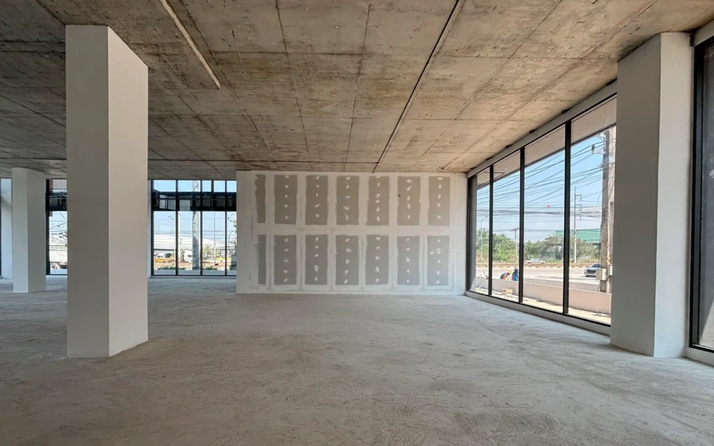
    Surveying a construction site for BIM modelling

    Construction

    Measured surveys, as-built condition capture and the preparation of source spatial data for subsequent BIM modelling.
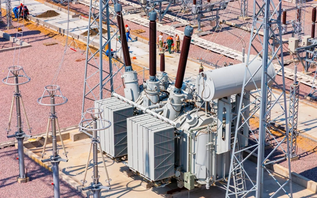
    Electrical substation

    Energy

    Digital twins of substations and other assets for inspection, analysis and works planning.
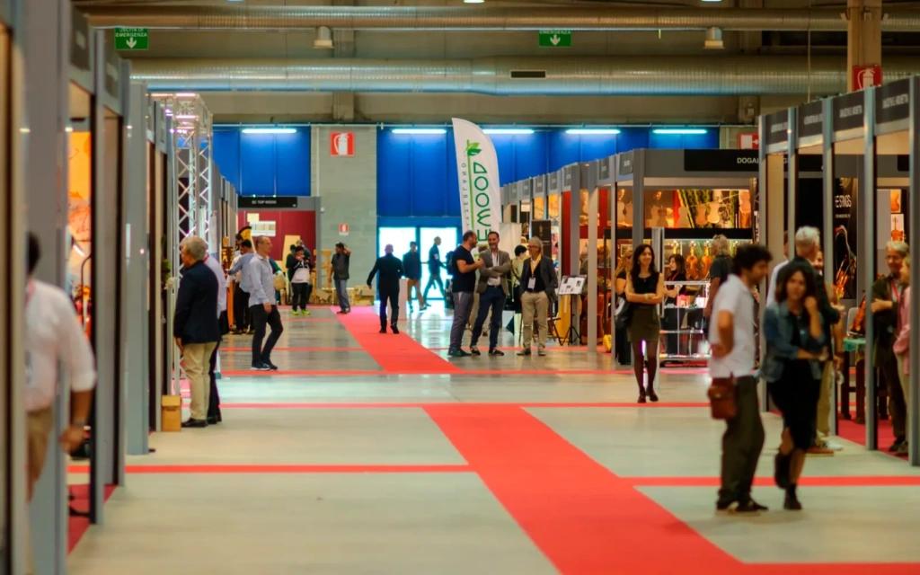
    Interior of an exhibition space

    Interiors and exhibition spaces

    Full capture of large indoor spaces, virtual walkthroughs and visualisation of design proposals.
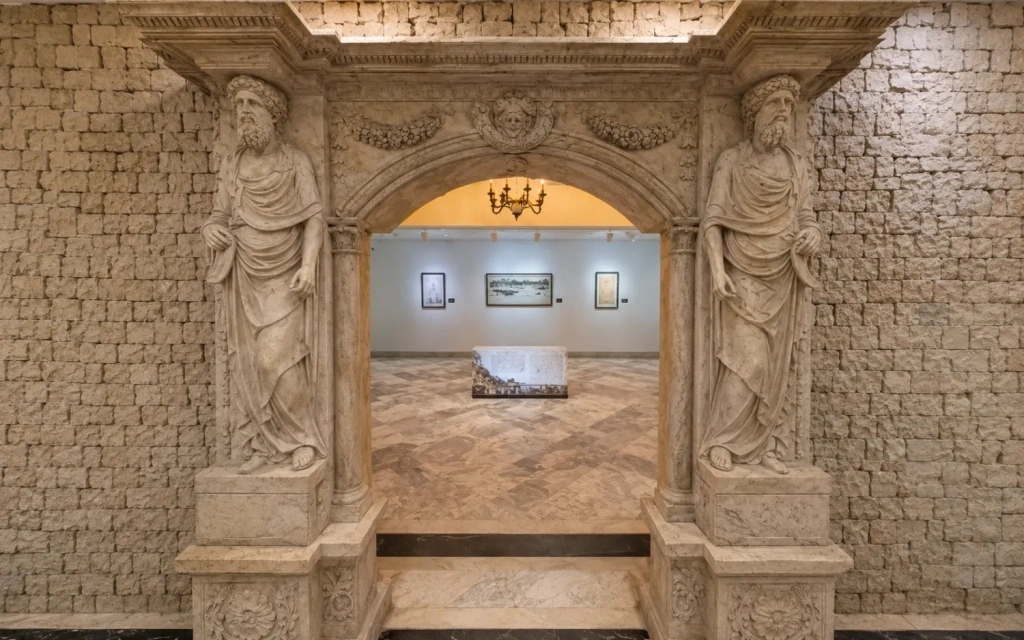
    Digital reconstruction of a cultural heritage site

    Cultural heritage

    Documenting architecture and interiors, virtual exhibitions and preservation of a digital replica of the site.
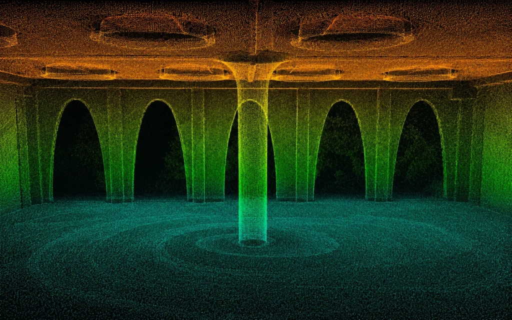
    Point cloud for surveying and a digital twin

    Surveying and digital twins

    Mobile capture of spatial data and creation of an up-to-date digital representation of a site or structure.
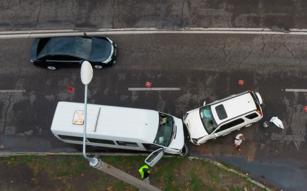
    Recording a road traffic accident scene

    Accident investigation

    Rapid 1:1 capture of the scene for measurements and the preparation of digital evidence.
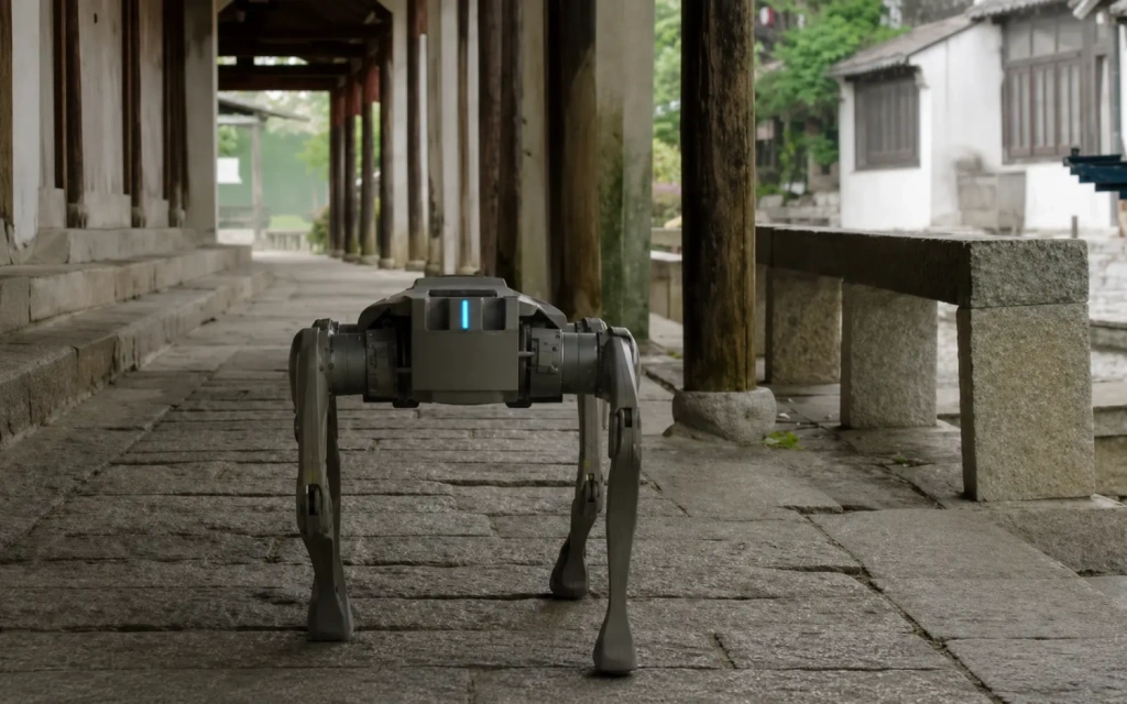
    Real2Sim scene for robot training and navigation

    Media, games, AI and Real2Sim

    Creation of photorealistic 3DGS scenes for film, television and game environments, as well as simulations for robot training, navigation and manipulation practice, and the development of AI models.

    What's in the box

    • Pocket 3D main unit;
    • SP20 battery grip;
    • base;
    • charging cable;
    • memory card;
    • card reader;
    • SLAM GO POST Pro software.

    Warranty

    12 months.
    Loading...
    5
    Common
    Year of release
    2026
    Warranty
    12 months
    Weight
    700 g
    Product Dimensions
    127 × 105 × 223 mm
    Operating Temperature Range
    от −20 до +50 °C
    LiDAR
    Recording Data to a Memory Card
    Yes
    Camera Integration
    No
    Built-in Cameras
    No
    Battery
    Replaceable
    Max. Beam Length
    100 m
    Recommended Beam Length for Mobile Scanning
    Up to 30 m at 10% reflectivity
    Beam Length Measurement Accuracy
    Approx. 2 cm (relative accuracy)
    Number of Beams
    16
    Field of View (FOV)
    360° horizontal; 40° vertical
    Scan Rate
    48,000 points/s; scanning frequency: 10 Hz
    Camera
    Camera Type
    External compatible 360° panoramic camera
    Video Transmission to Remote
    Real-time preview in the mobile app
    01-substation-real-scene-en
    986,1 KB
    03-substation-point-cloud-en
    2,1 MB
    05-substation-3dgs-en
    1,4 MB
    02-accident-point-cloud-en
    1,8 MB
    04-accident-3dgs-en
    820,2 KB
    06-accident-report-en
    990,1 KB
    Back to the list
    Connect with us
    +41 21 588 02 11
    +41 21 588 02 11 09:00-18:00 whatsapp.svg
    Sales info@topodrone.com email.png
    Support support@topodrone.com email.png
    Telegram Channel @topodronesa tg.svg
    Telegram Chat @topodronesagroup tg.svg
    Telegram Bot @topodronecombot tg.svg
    Facebook @topodronesa ycz1c9257s6gh7g315r8q6tob3bnddba.png
    Youtube @topodronesa youtube.png
    LinkedIn @topodrone 9ratq3v3eavnhupo1akvxp0sbx4vopj5.png
    X @topodrone twitter.png
    Instagram @topodrone tpxkj71axu6dxt423lwj5idzwcej1njx.png
    Email
    info@topodrone.com - Sales
    support@topodrone.com - Support
    The address
    TOPODRONE SA, Chemin du Closel 5, 1020, RENENS, Switzerland
    Working hours
    10:00-18:00
    info@topodrone.com - Sales
    support@topodrone.com - Support
    TOPODRONE SA, Chemin du Closel 5, 1020, RENENS, Switzerland
    Products
    Sales
    Brands
    Services
    Applications
    Company
    Staff
    News
    Reviews
    Vacancy
    Licenses
    Documents
    Partners
    Information
    Requisites
    Help
    Payment
    Delivery
    Warranty
    FAQ
    © 2026 TOPODRONE SA
    Privacy Policy
    Main page Product 0 Comparison Contacts Blog Applications