PRJ Editor is a tool that allows you to edit the coordinate system knowing the transition parameters. In order to use it you need to select "PRJ Editor" in the Tools panel.
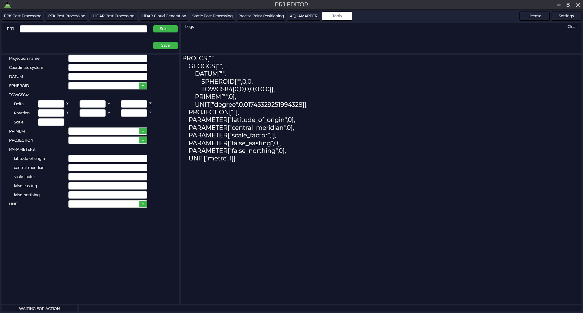
Currently, a small amount of photogrammetry and laser scanning software supports affine transformations, so this tool does not support affine transformations in the same way.
In the window that opens, click the "Select" button and select the *.prj file you want to edit.
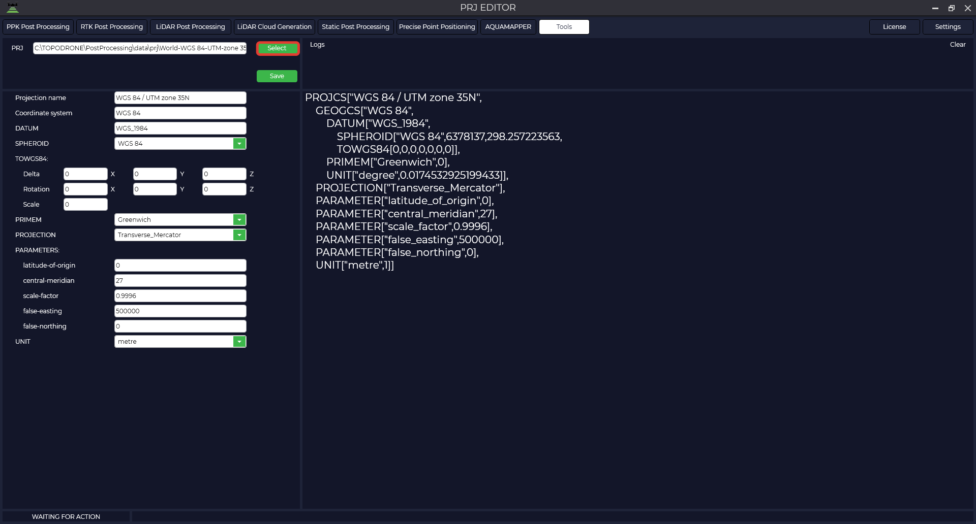
The table provides a description of the parameters
| Projection name | WGS 84 / UTM zone 35N | Projection name |
| Coordinate system | WGS_1984 | Name of coordinate system |
| DATUM | WGS_1984 | Datum name |
| SPHEROID | WGS 84",6378137,298.257223563 | Name of ellipsoid |
| TOWGS84 | 7 parameters of transition to WGS84 | |
| Delta | 0,0,0 | Displacement of the intermediate geocentric coordinate along the X, Y, Z axes. It is specified in meters, and the translation direction is indicated by the value sign. |
| Rotation | 0,0,0 | The amount of rotation about the X, Y, Z axes that applies to intermediate geocentric coordinates. It is specified in angular seconds, and the direction of translation is indicated by the sign of the value. |
| Scale | 0 | A scaling factor that applies to intermediate geocentric coordinates. The value is given in parts per million and is the difference between the actual scaling factor and one. For example, a scale parameter value of -2.5 gives an actual scale factor of 0.9999985. That is, the actual scale factor used is obtained by multiplying the parameter value by 1.0x10-06 and adding the result (algebraically) to 1.0. |
| PRIMEM | "Greenwich",0 | Zero meridian, indicating the offset between the zero meridian of the declared coordinate system and the Greenwich coordinate system. |
| UNIT | "degree",0.01745329251994328 | The unit of measure of SC (degrees). |
| PROJECTION | Transverse_Mercator | Projection type |
| PARAMETERS | ||
| Latitude of origin | 0 | Initial latitude |
| Central meridian | 27 | Central meridian |
| Scale factory | 0.9996 | Scale factor |
| False easting | 500000 | Shift east |
| False northing | 0 | Shift north |
| UNIT | metre | Projection unit |
Make all necessary changes to the parameters, click the "Save" button, specify the path to save and the file name.
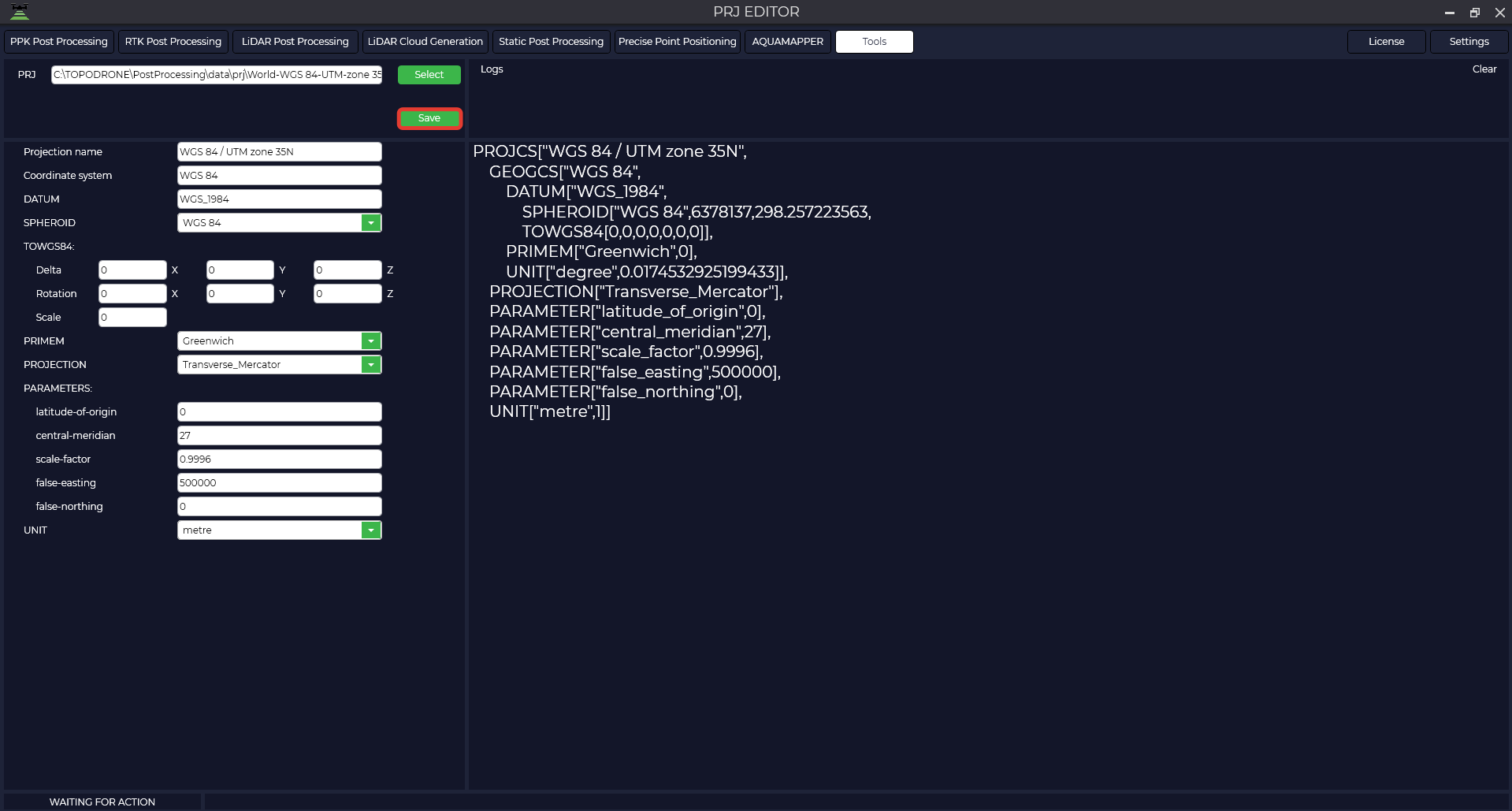
The resulting file is shown below.
PROJCS["WGS 84 / UTM zone 35N",
    GEOGCS["WGS 84",
        DATUM["WGS_1984",
            SPHEROID["WGS 84",6378137,298.257223563,
            TOWGS84[0,0,0,0,0,0,0]],
        PRIMEM["Greenwich",0,
        UNIT["degree",0.0174532925199433,
    PROJECTION["Transverse_Mercator"],
    PARAMETER["latitude_of_origin",0],
    PARAMETER["central_meridian",27],
    PARAMETER["scale_factor",0.9996],
    PARAMETER["false_easting",500000],
    PARAMETER["false_northing",0],
    UNIT["metre",1]]