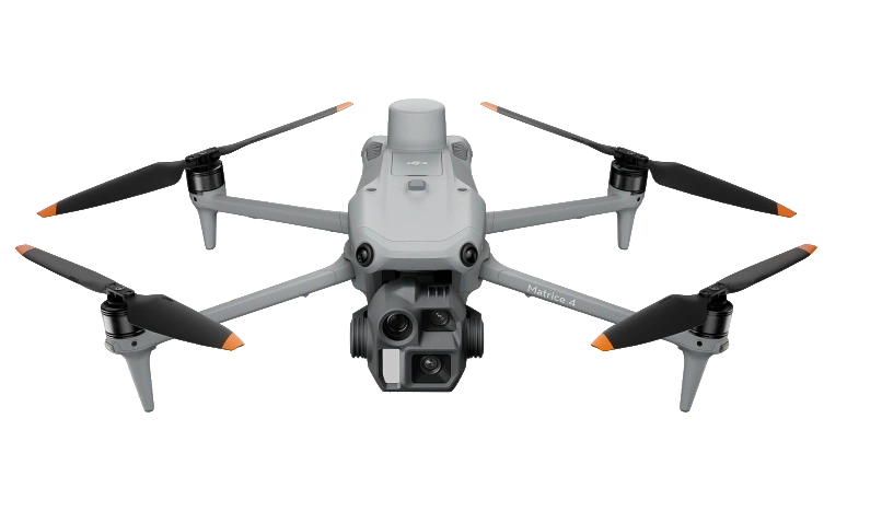
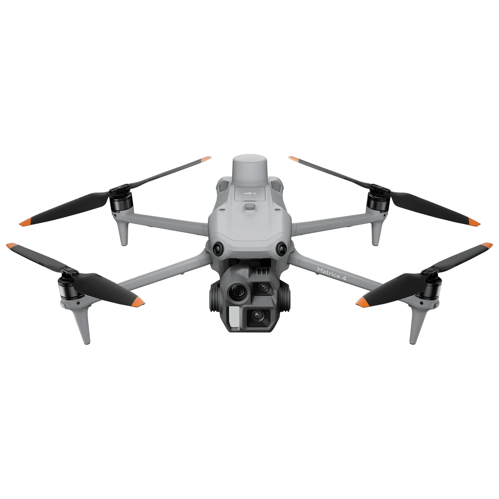
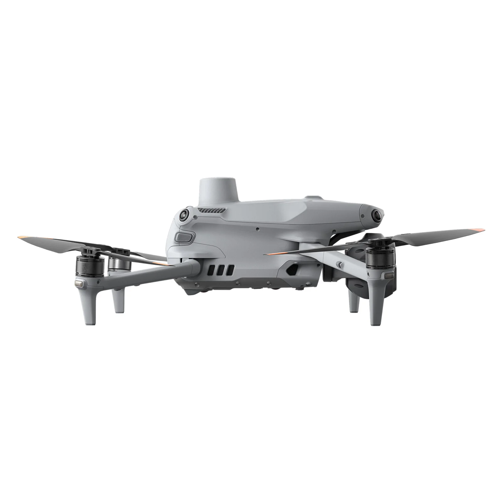
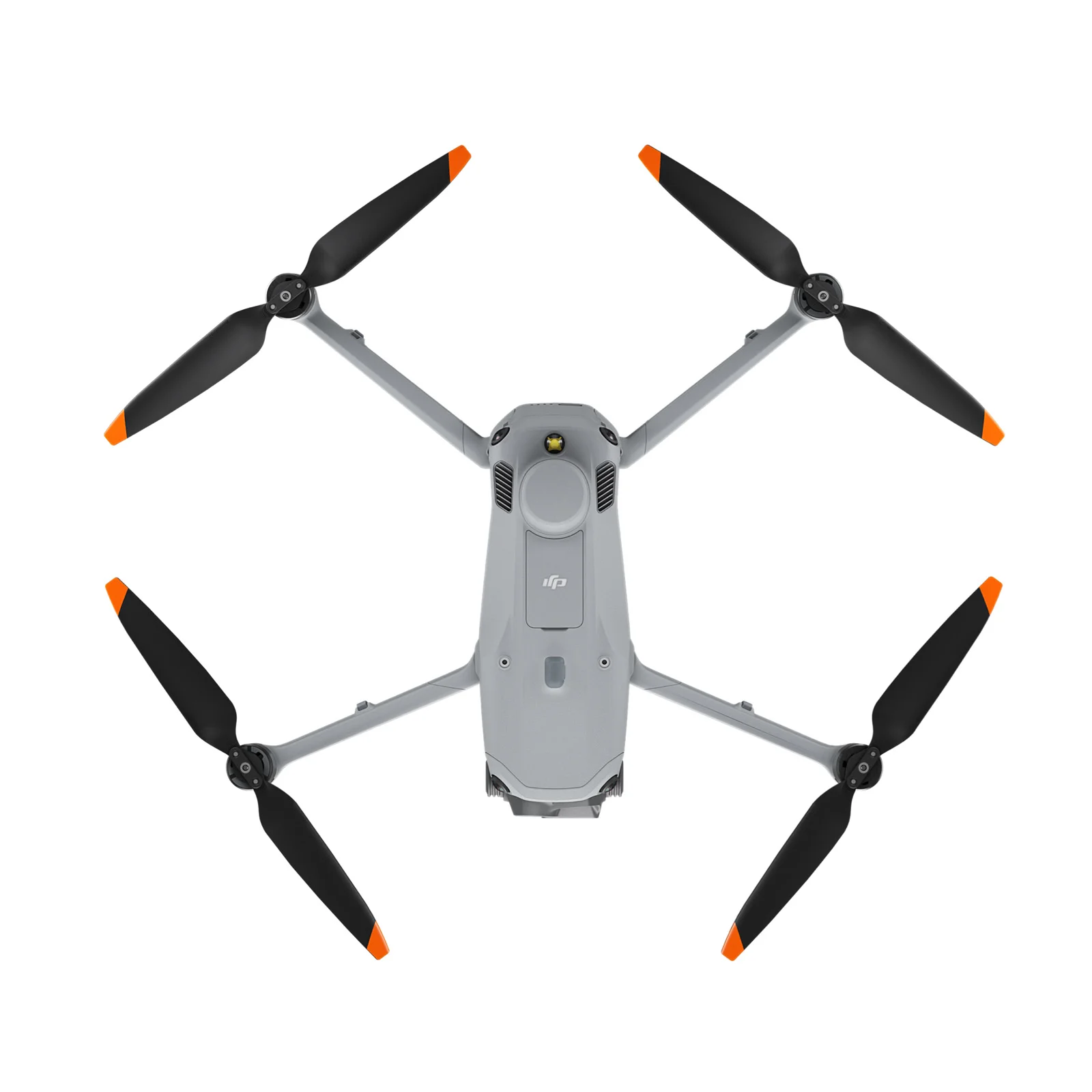
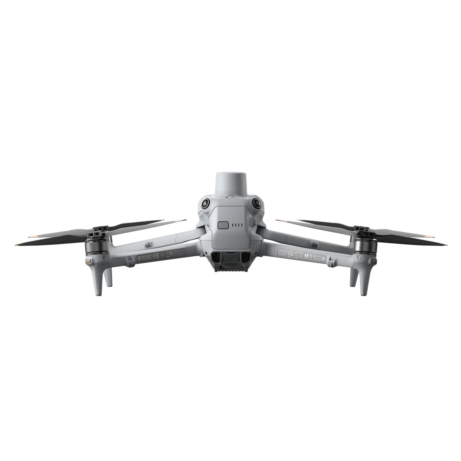
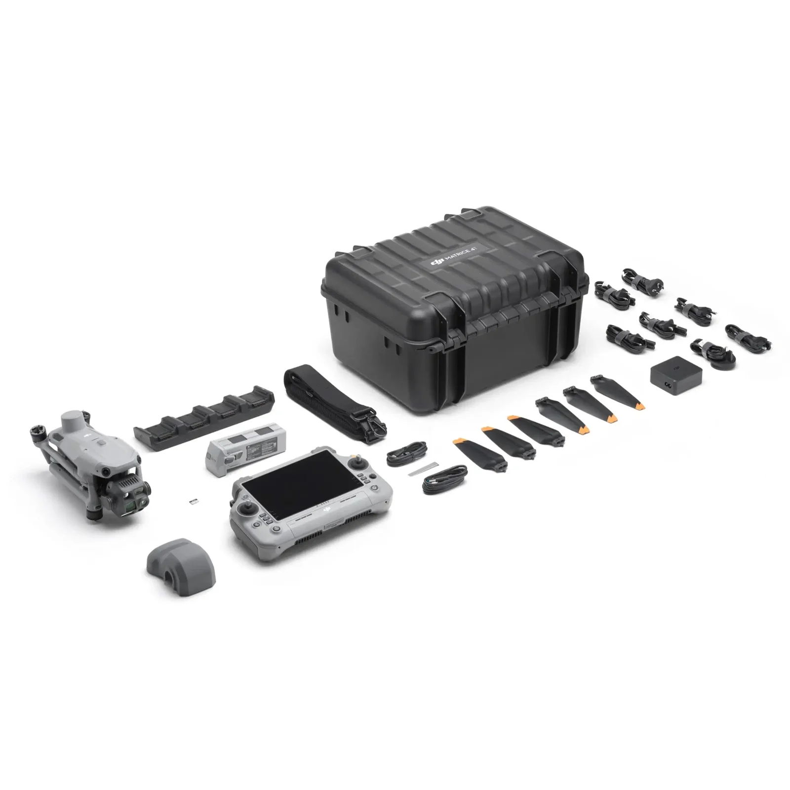
Photo 1. Surveying was performed using a DJI Matrice 4E.
At gold mining sites, an up-to-date digital terrain model is essential for day-to-day operations rather than just formal reporting. It enables teams to monitor terrain changes, assess the condition of mining areas, dumps, and operational platforms, and calculate volumes accurately. This is especially critical at remote sites, where repeat field visits involve complex logistics, extra time, and high costs.
To address these challenges, the TOPODRONE team conducted on-site training for specialists from a gold mining enterprise. Held at the customer’s actual production facilities, the training focused on practical, hands-on workflows: from flight mission planning and UAV surveying to PPK post-processing, photogrammetry, quality control, and preparing deliverables for CAD/GIS software.
The objective was not only to help specialists master the equipment and software but also to seamlessly integrate UAV surveying into their daily operations. As a result, the enterprise can now regularly obtain precise, measurable site data and efficiently use survey outputs for planning subsequent works.
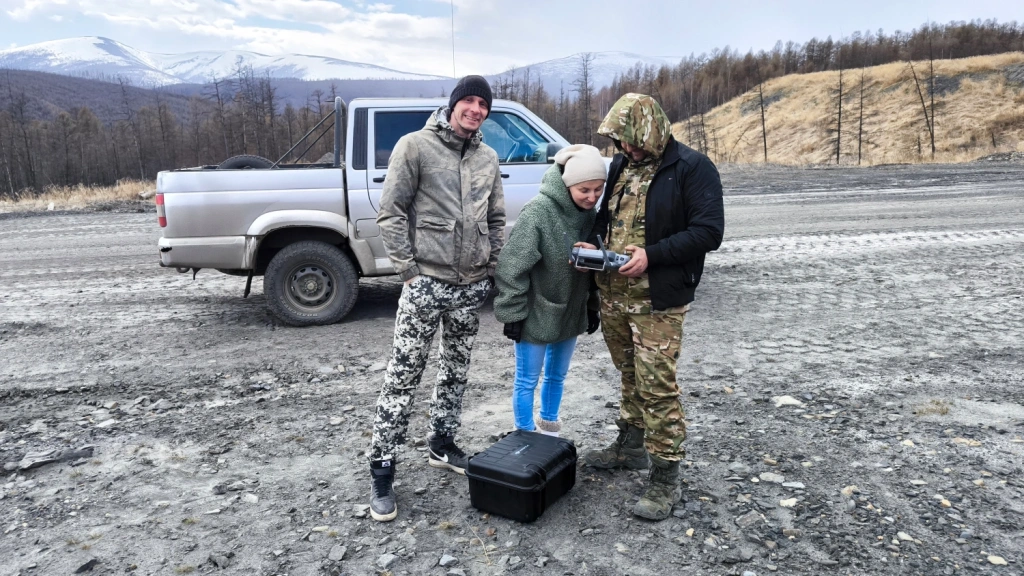
Photo 2. Field training at the production site.
Site operations
The company carries out gold mining using a combined method, bringing together open-pit and underground mining operations. The open-pit mining season at the sites starts in March and continues until December. During this period, active extraction and washing of gold-bearing material are carried out across the sites, while in winter some production processes are moved underground for shaft mining.
Annual production is approximately 2.5 tonnes of gold. At this scale of operation, the company critically depends on up-to-date spatial data for the active production areas. These data are used for operational monitoring of the current site condition, detailed terrain analysis, accurate accounting of moved material and planning of further mining works.
The training had two key objectives:
to practise surveying active mining areas for subsequent volume calculations;
to gain practical experience in preparing data for site investigations and the planning of further works.
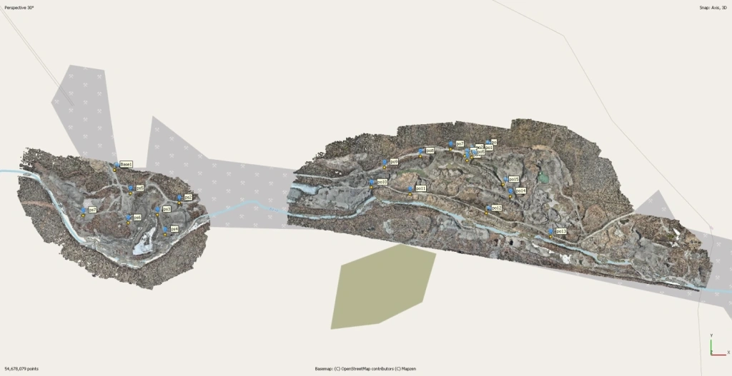
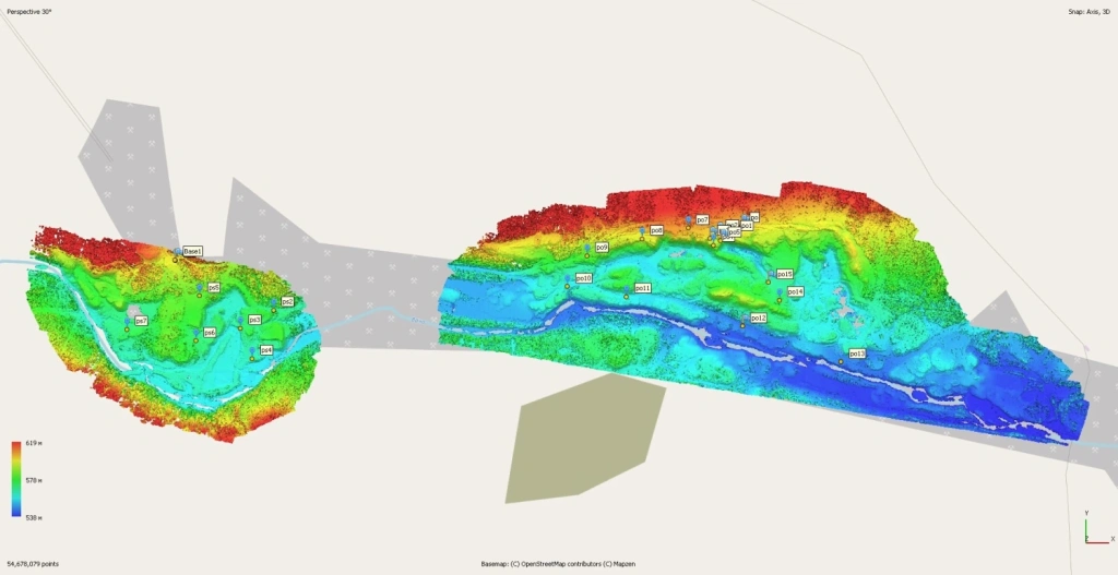
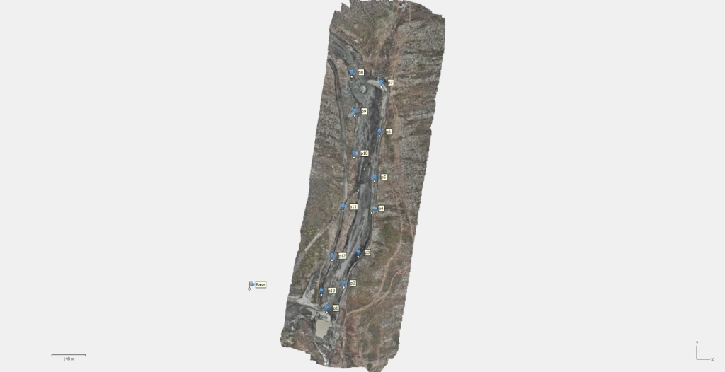
Photo 3. General view of the processed areas.
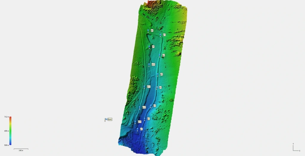
Photo 4. The same areas in elevation colouring.
The dense point cloud, check points and base station are shown across the mining areas. The colour scale helps assess terrain variations and the overall structure of the sites.
Operating conditions
The production sites are located in a remote area, with the nearest settlement serving as the operational base from which specialists travel to the individual sites.
Logistics involved several stages: a flight from the capital to the regional centre, followed by another flight on a regional passenger aircraft, after which the team travelled to the final locations by road. The journey to one of the sites was approximately 300 kilometres and took around 3 to 3.5 hours.
These conditions clearly demonstrate why on-site training is particularly important for industrial customers. Remote sites of this kind leave little room for error: any mistake in the survey or incomplete data capture in the field may require a repeat mobilisation, resulting in significant additional costs and lost time. For this reason, the training placed particular emphasis not only on the correct execution of UAV flights, but also on strict quality control of the collected data directly in the field.
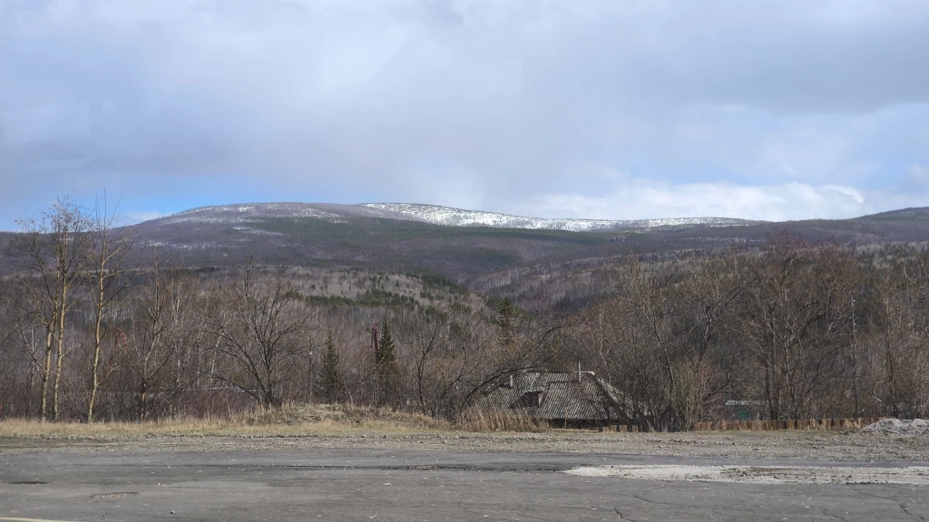
Photo 5. Landscape of the survey area.
Workflows practised on site
In practice, the specialists completed the full photogrammetric workflow: from flight theory and survey preparation to the generation of deliverables suitable for volume calculations, work planning and engineering analysis.
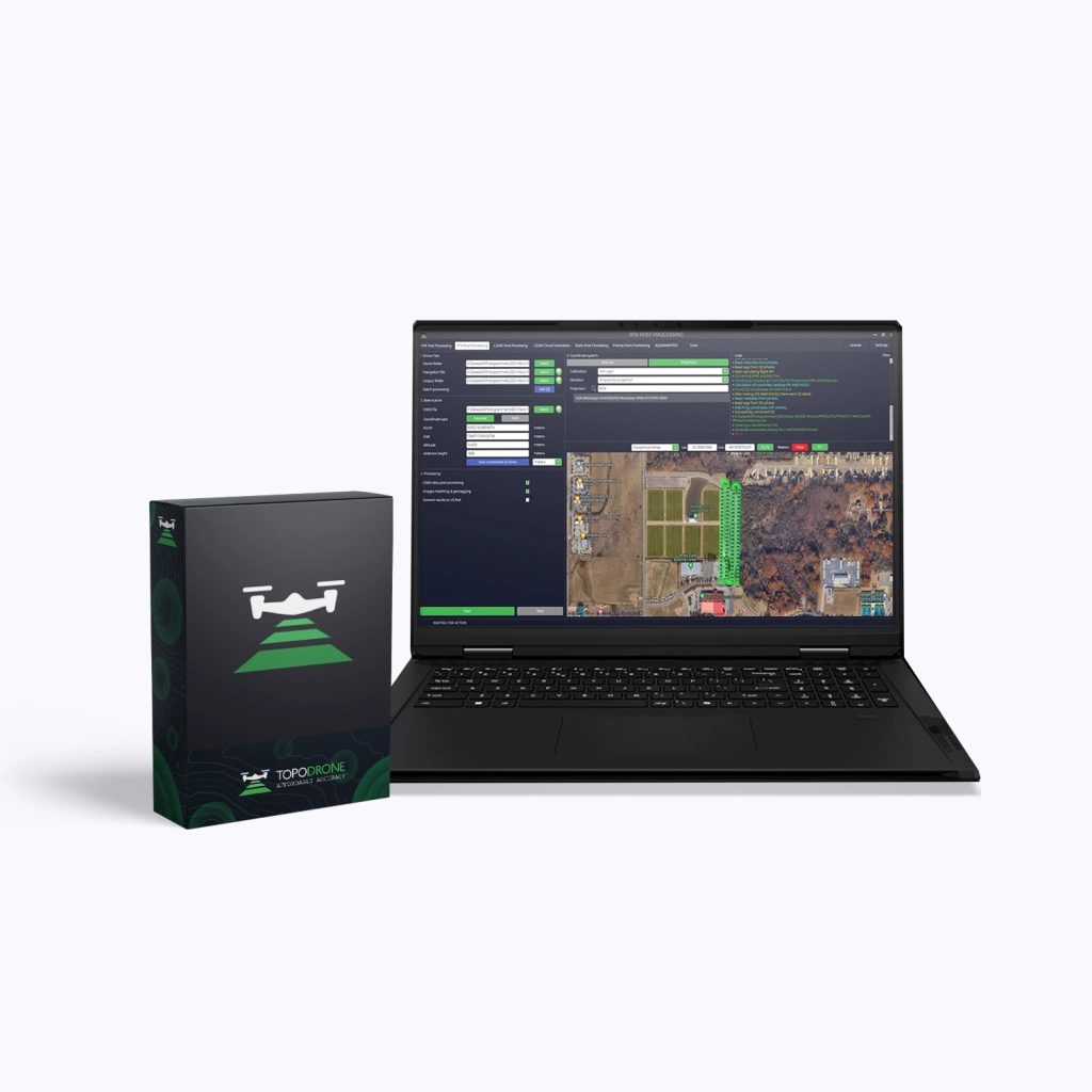
Field operations were carried out using a DJI Matrice 4E UAV. After the survey, PPK post-processing was performed in TOPODRONE Post Processing, followed by photogrammetric data processing in Agisoft Metashape.
During the training, the following workflows were practised:
flight mission planning;
UAV surveying across the production area;
working with a base station, ground control points and check points;
PPK post-processing in TOPODRONE Post Processing;
photogrammetric processing in Agisoft Metashape;
orthophoto generation;
dense point cloud generation;
creation of a digital surface model and a working terrain model;
generation of contours and profiles;
preparation of deliverables for use in CAD/GIS.
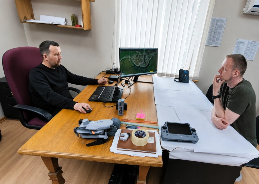
Photo 6. Office-based stage of the training.
Special attention was given to the survey control framework. The team reviewed the data, survey results and subsequent processing steps. The orthophoto, dense point cloud and digital model must be tied to the project coordinate system and checked against independent check points.
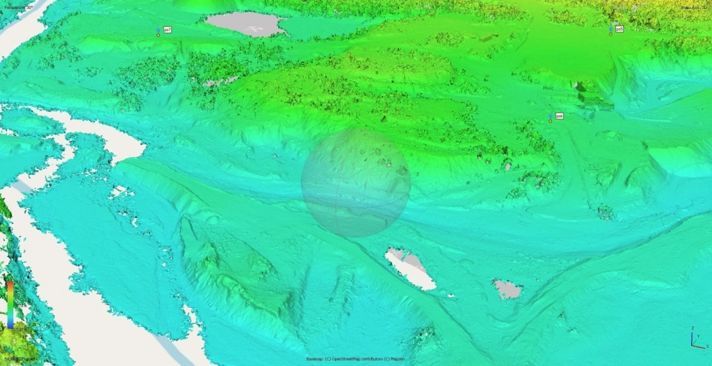
Photo 7. Elevation model of the site with check points.
This visualisation helps assess the terrain structure and the position of key terrain points.
Flight mission planning in UgCS
Before the survey, the specialists prepared flight routes in UgCS for the DJI Matrice 4E. The site boundaries, flight altitude, speed and image overlap were set in the software.
For one of the routes, the UAV was planned to fly at an altitude of 150 m above terrain and at a speed of 10 m/s. Image overlap was set to 80% along the flight direction and 60% between adjacent flight lines. This was required to ensure reliable image alignment during processing and to generate an orthophoto, point cloud and digital surface model from the captured imagery.
UgCS calculated a route covering 66.25 ha, with 9 flight lines and 368 images.
Data processing workflow
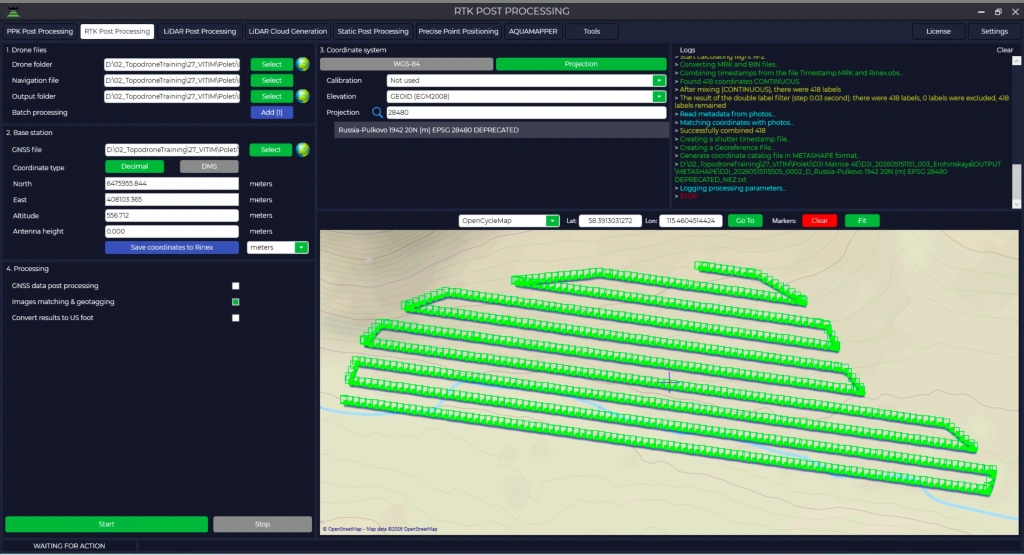
On site, the specialists practised the complete workflow combining field data capture, PPK post-processing and photogrammetry. First, the area was surveyed using the DJI Matrice 4E. The data were then processed in TOPODRONE Post Processing using the PPK workflow. This stage is required for accurate image georeferencing and for preparing the data for subsequent photogrammetric processing.
Photo 8. Data post-processing in TOPODRONE Post Processing.
The deliverables were then imported into Agisoft Metashape, where image alignment, dense point cloud generation, digital surface model creation and orthophoto generation were carried out. The resulting surface can then be used to generate contours and profiles, as well as to prepare data for volume calculations.
In practice, the specialists worked through the full workflow:
UAV survey
PPK post-processing
photo- grammetry
accuracy assessment
surface generation
preparation for volume calculations
Survey control and quality assurance
A base station and check points were used across the sites to provide an independent assessment of the processed results.
This approach is particularly important for volume calculation tasks. If the data contain uncontrolled vertical or horizontal shifts, the calculation of cut, fill or dump volumes may produce incorrect results. For this reason, the training covered not only the survey stages, but also the verification of georeferencing, the quality of the generated surface and the suitability of the data for subsequent engineering work.
Photo 9. Orthophoto of the site with check points and the base station.
Following the survey and processing, the team obtained orthophotos, dense point clouds, digital surface models, contours and profiles.
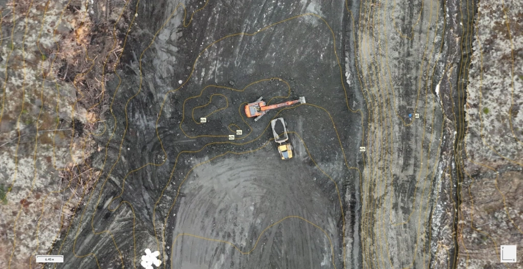
The orthophotos clearly show roads, operational platforms, worked-out areas, dumps, channels, pit walls and traces of machinery activity. This material is convenient for visual analysis of the area and for recording the condition of the site on the survey date.
The dense point cloud and digital surface model provide a measurable basis for further work. They can be used to analyse the terrain form, generate profiles, identify key site features and prepare the surface for volume calculations.
For one of the sites, the final point cloud contained more than 54 million points, while another section contained more than 96 million points. However, in a production workflow, the number of points is not the only important factor. The quality of georeferencing, correctness of processing, verification against check points and preparation of the surface for calculation are equally important.
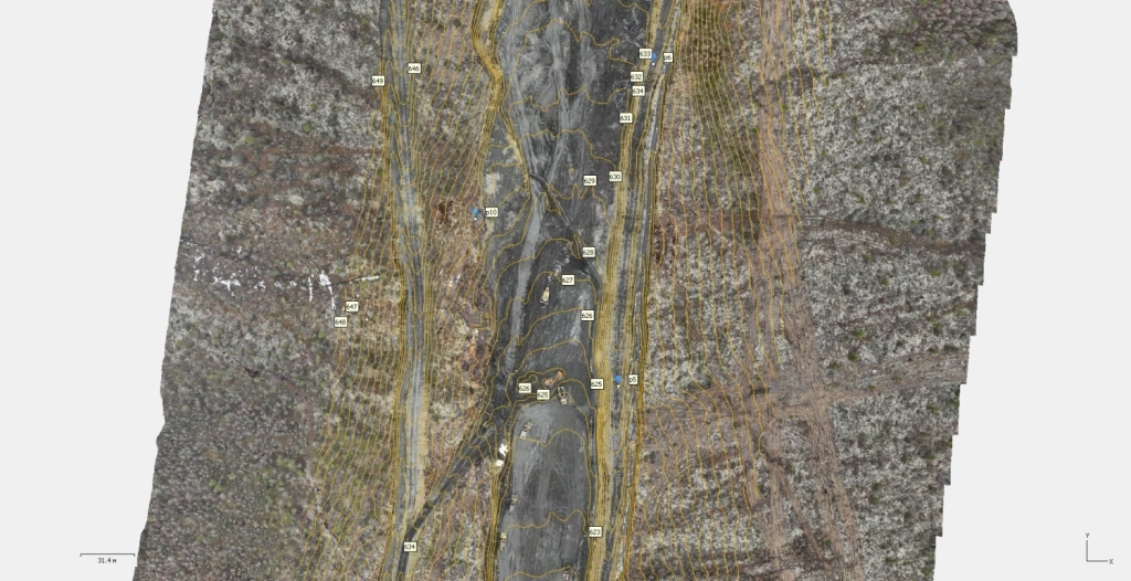
Photo 11. Orthophoto with overlaid contours.
Photo 12. Fragment of the digital terrain model (DTM) with contours.
Contours make it possible to analyse the terrain form and prepare data for further engineering work. The DTM clearly shows height differences, operational zones and surface features.
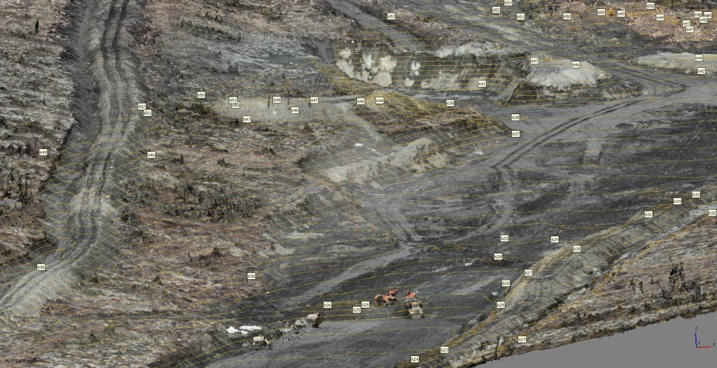
Photo 13. Detailed view of the production site with contour lines and spot elevations.
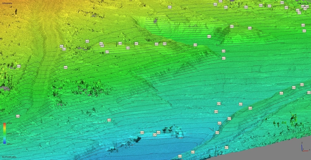
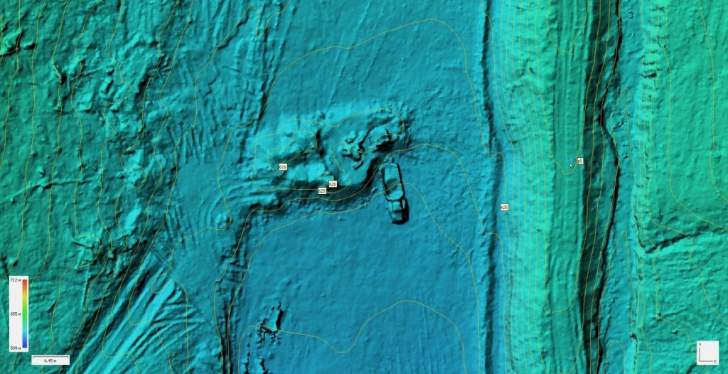
Photo 14. The same area shown as a digital surface model.
The model clearly shows microtopography, machinery tracks and local height variations. This level of detail helps analyse benches, platforms, roads and material movement areas.
How the data are used for volume calculations
Based on the survey results, an up-to-date digital surface model is created. It can be compared with previous deliverables, the design model or a specified reference surface.
For a gold mining enterprise, this is not merely a set of measurements, but a working tool for production control. Regular surveying helps assess the actual condition of the site, track changes and plan further works based on an up-to-date digital model of the area.
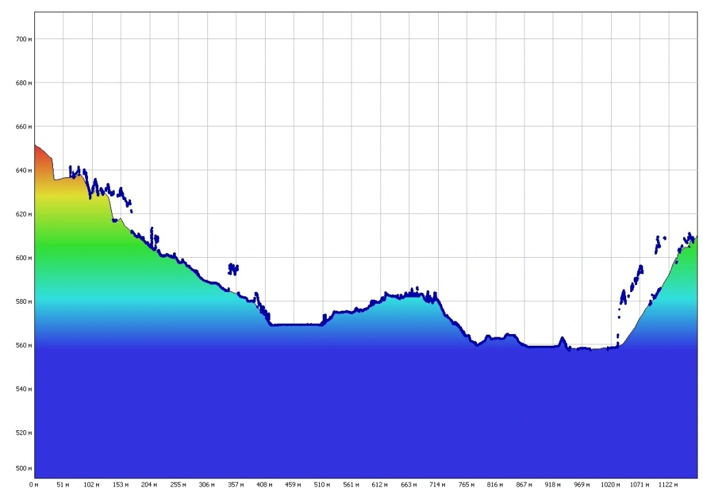
Photo 15. Longitudinal profile of the site.
The profile is used to analyse height differences and surface geometry.
Why gold mining enterprises need this
For companies working with open pits, dumps, washing areas and remote sites, UAV surveying becomes a tool for operational production control.
It makes it possible to collect data over large areas more quickly, reduce the amount of manual measurement required on complex terrain and create a digital basis for further analysis. This is especially important where sites are located far from settlements and a repeat mobilisation requires time and organisational resources.
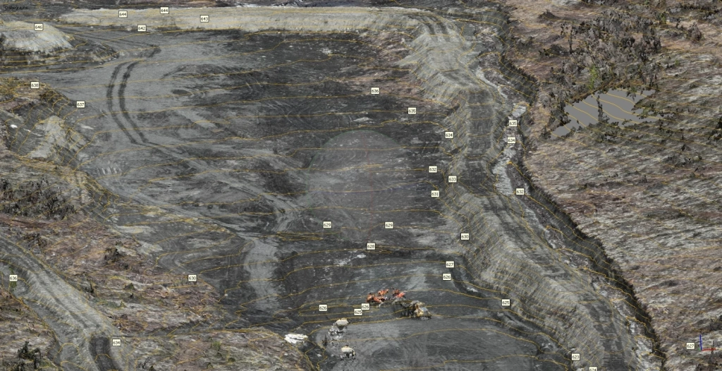
Photo 16. Orthophoto with detailed contour mapping.
Photo 17. Detailed view of the working area with machinery.
The fragments show machinery, the operational platform, terrain contours and local elevation marks. The material shows the structure of the site and can be used when preparing data for CAD/GIS.
Practical value of on-site training
The main advantage of the on-site format is that training takes place at the customer’s own site and using their real data.
Specialists work not with a generic training example, but with their own sites, terrain, logistics and production tasks. This makes it possible to review, directly in context, which survey parameters to select, how to place control points, how to check coverage, what errors may occur during processing and how to assess whether the final result is fit for purpose.
As a result, the team gains not only a theoretical understanding of the workflow, but also practical experience in completing the full cycle of work: from flight preparation to the generation of deliverables suitable for further engineering processing.
The collected data will help the company monitor the condition of its sites, prepare surfaces for volume calculations and plan further development of the area.