








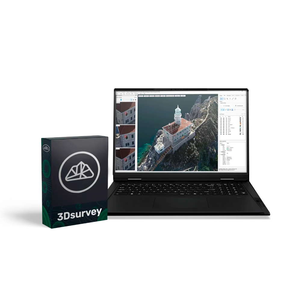
3Dsurvey Classroom (5 PC), Perpetual

3Dsurvey is a powerful and versatile software suite for photogrammetric data processing, created specifically for professionals in surveying, construction, and cartography. The software allows processing data from virtually any source — drones, cameras, GNSS, LiDAR, and other geospatial devices — and converting them into accurate 3D models, orthophotos, and digital terrain models.
3Dsurvey unifies the entire workflow — from data collection to report generation — within one convenient interface, significantly increasing productivity and reducing the likelihood of errors.
Educational licence for 5 PCs
This licence provides full 3Dsurvey functionality and allows use on five computers simultaneously. The perpetual licence ensures full and continuous access to the software without subscriptions or recurring fees. It includes all functionality, the latest updates available at the time of purchase, and one year of technical support.
Advantages
- All-in-one: a complete workflow — from photogrammetry and 3D modelling to data analysis and export.
- Compatibility with any equipment: supports all popular drones, cameras, and surveying instruments.
- Intuitive interface: easy setup, fast learning, high processing speed.
- Accurate and detailed processing: centimetre-level precision of models and measurements.
- Flexible modular structure: ability to add modules for specialised tasks (Scan, RTK Videogrammetry).
- Cloud access: simple and secure sharing of results via 3Dsurvey Cloud.
Functional capabilities:
- Data capture — import of photos and videos from drones, cameras, GNSS, LiDAR, and other sources (supports JPG, PNG, TIFF, MP4, MOV, AVI).
- Photogrammetry and 3D model creation — converting 2D images into accurate 3D models, orthophotos, and digital terrain models.
- Data extraction tools — volume calculations, profiles, lines, contours, selection of required areas and layers.
- Collaboration — publishing and sharing results via the cloud service, accessible from any device.
- Built-in CAD module — creating and editing drawings and topographic plans directly within the software.
Additional modules (purchased separately):
- Scan — improves data quality and processing speed, ideal for engineering and environmental tasks.
- RTK Videogrammetry — RTK-accurate video capture for detailed models and maps.
System requirements
- Minimum: Windows 7/8/10 (64-bit), Intel i5 / Ryzen 5, 16 GB RAM, NVIDIA GTX 1050.
- Recommended: Windows 11, Intel i7 / Ryzen 7, 32–64 GB RAM, NVIDIA RTX 5060 Ti, 2 TB SSD.
- Professional level: Intel i9 / Ryzen 9, 64–128 GB RAM, 2× RTX 5060 Ti, 4 TB SSD.