








TOPODRONE PPK for DJI Mini 4 Pro

Centimetre-level georeferencing accuracy for DJI Mini 4 Pro without ground control points
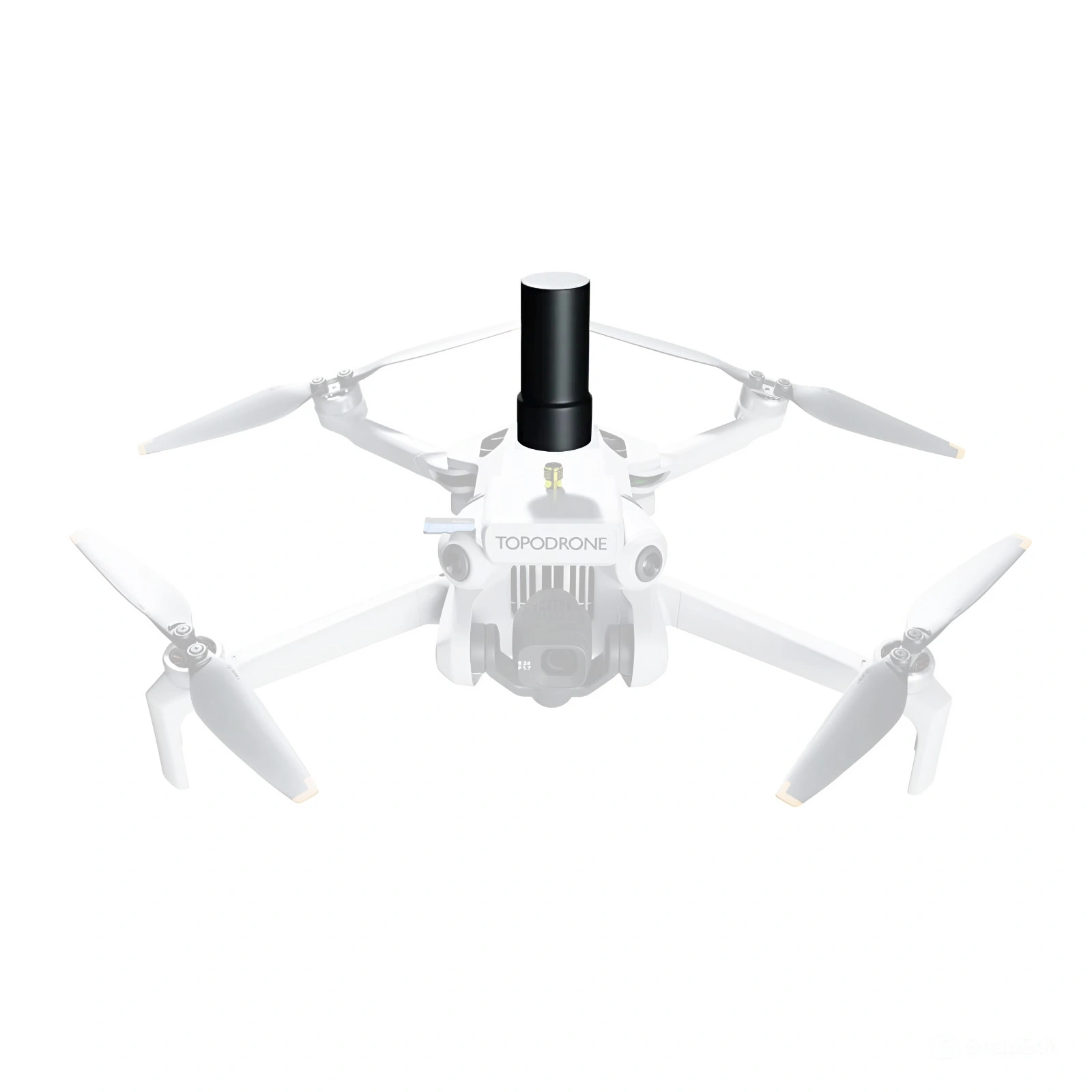
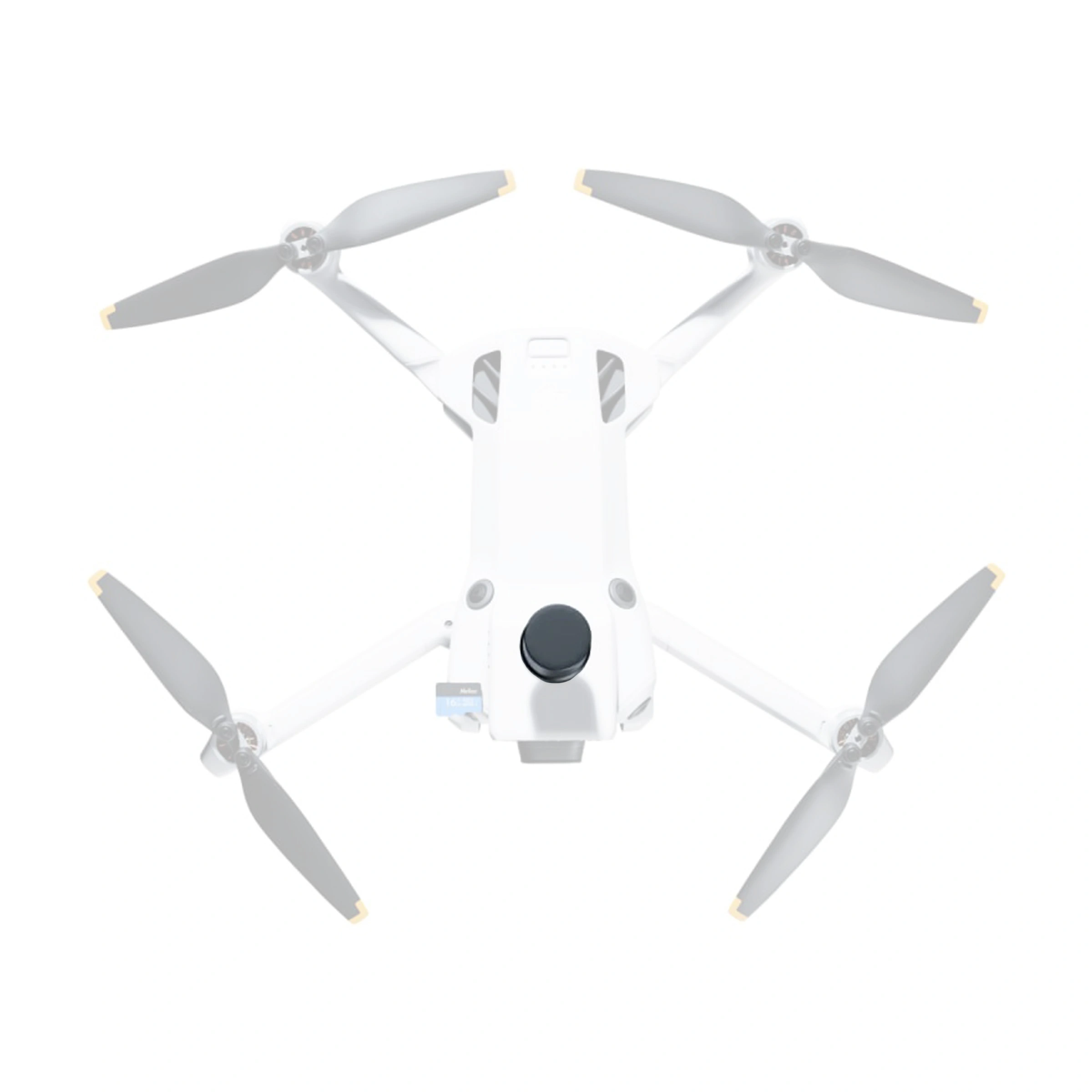
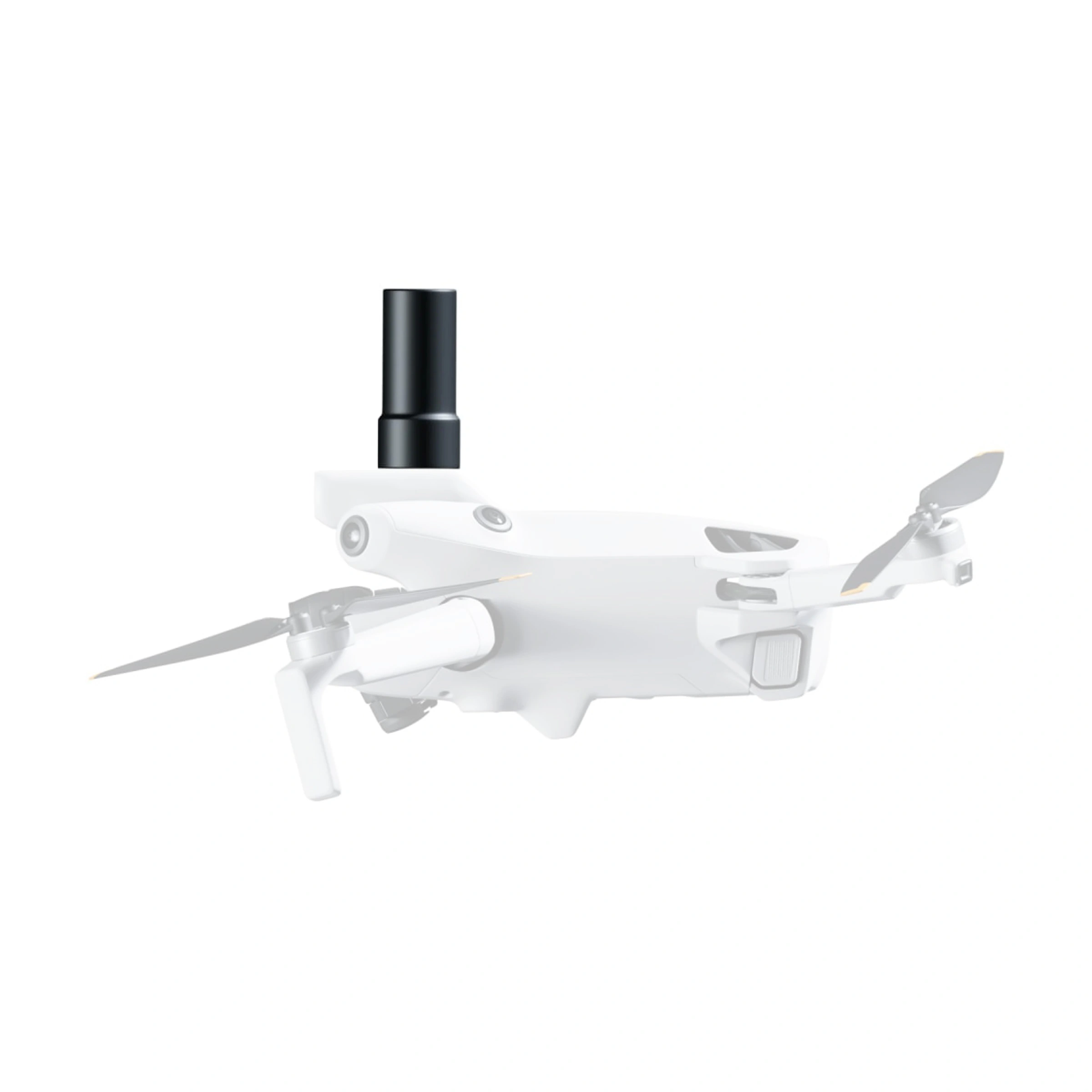
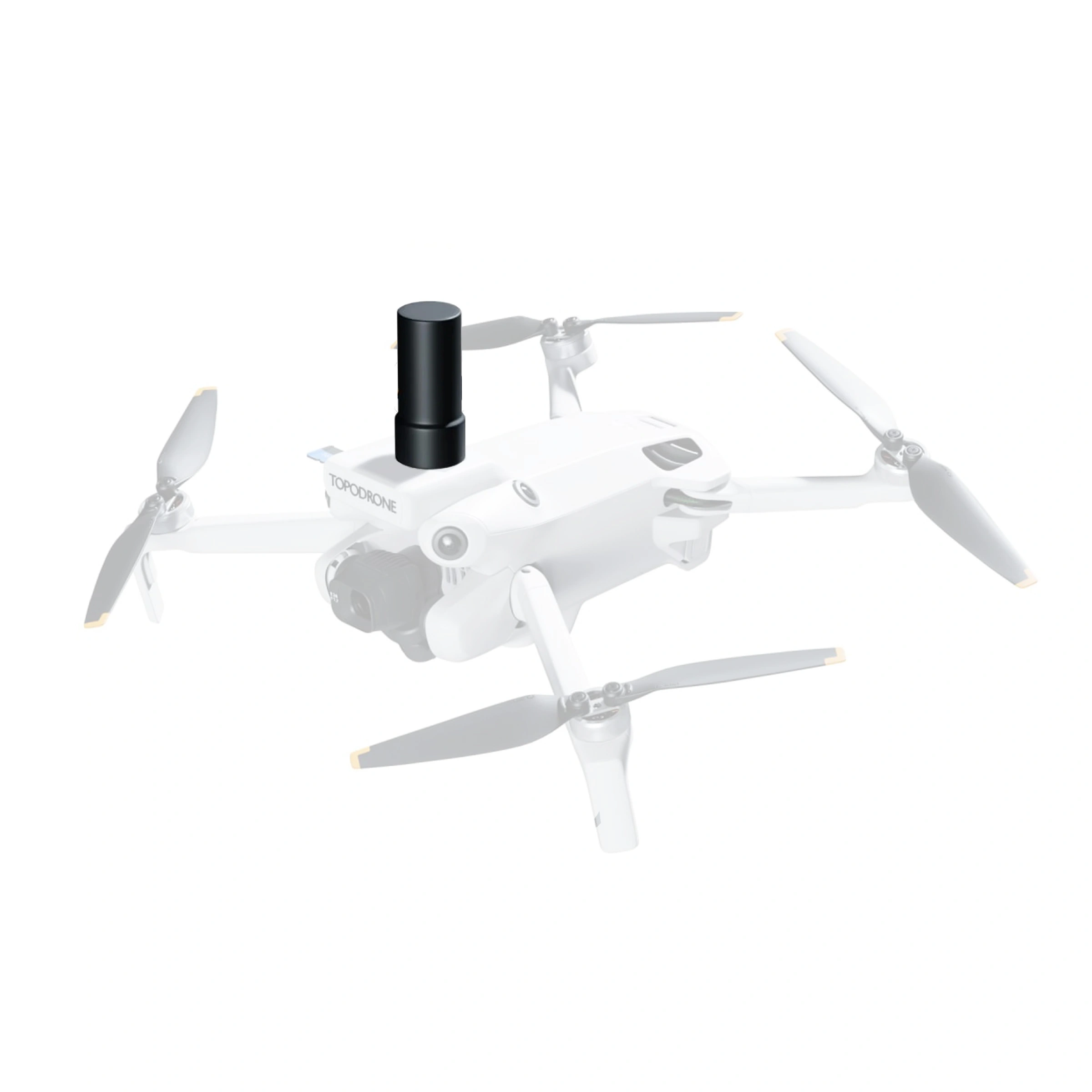
The TOPODRONE PPK GNSS module is designed to upgrade the DJI Mini 4 Pro for high-accuracy aerial surveys without ground control points. The solution delivers centimetre-level georeferencing accuracy and is suitable for professional photogrammetry, mapping and engineering surveys.
The module logs raw GNSS data during the flight for subsequent coordinate post-processing, delivering consistent and accurate results even in remote areas. No connection to a base station is required during the flight: the coordinates are refined after landing, so PPK remains fully operational where no network coverage is available.
Benefits
- 5–6 cm georeferencing accuracy without ground control points
- Topographic surveys at 1:500 scale
- PPK mode with post-processing after the flight
- Operating temperature from −10 to +40 °C
- Fixed solutions with baselines of up to 25 km
- Unicore UM982 multi-frequency GNSS receiver with 1,408 channels
- Raw GNSS data logging to a memory card
- Automatic conversion of image exposure centres
- Support for local coordinate systems
- TOPODRONE Post Processing Basic software included
Mission planning options
- WaypointMap — free and paid features;
- Pixpro Waypoints — a free trial and subscriptions starting from €5 per month.
How a PPK survey works
-
1
Flight planning
The flight path is created in mission-planning software, taking account of altitude, image overlap and the survey area boundaries.
-
2
Aerial survey and GNSS data logging
The drone captures aerial imagery while the PPK module simultaneously logs raw satellite observations.
-
3
Coordinate post-processing
After the flight, the on-board data are processed together with observations from the base station.
-
4
Exporting image exposure centres
The refined coordinates of the image exposure centres are exported to the photogrammetric project to generate an orthomosaic and 3D model.
Independent check points may be used at the site if accuracy verification is required. Actual accuracy depends on the quality of the base-station data, satellite conditions, flight parameters and adherence to the prescribed processing workflow.
Key specifications
| Module manufacturer | TOPODRONE |
|---|---|
| Country of manufacture | Switzerland |
| GNSS receiver | Unicore UM982 |
| Number of channels | 1,408 |
| Data logging rate | 20 Hz |
| Georeferencing accuracy | 5–6 cm |
| Operating mode | PPK, with no connection to a base station required during the flight |
| Maximum distance from the base station | Up to 25 km |
| Data storage | Dedicated memory card |
| Memory card included | 16 GB |
| Antenna | Removable dual-frequency L1/L2 antenna |
| Operating temperature | −10 to +40 °C |
| Software | TOPODRONE Post Processing Basic |
| Coordinate system support | Conversion to local coordinate systems is supported |
| Warranty | 12 months |
Applications
- Topographic surveying;
- Photogrammetry;
- Orthomosaic production;
- Mine surveying and 3D modelling;
- Cadastral and engineering surveys;
- Construction and site monitoring.
Package contents
- On-board multi-constellation L1/L2 GNSS receiver — 1
- Removable L1/L2 antenna — 1
- Connection cable for the drone's circuit board — 1
- 16 GB memory card for GNSS data logging — 1
- TOPODRONE Post Processing Basic software included.
Warranty
12 months.