Description and supported models
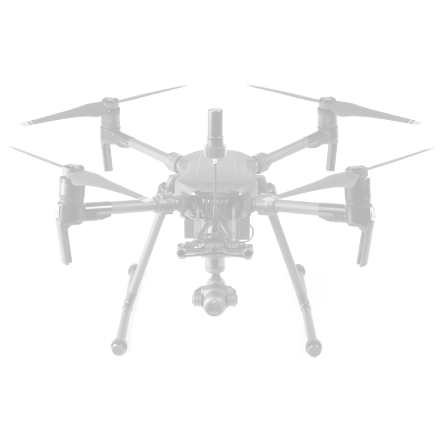
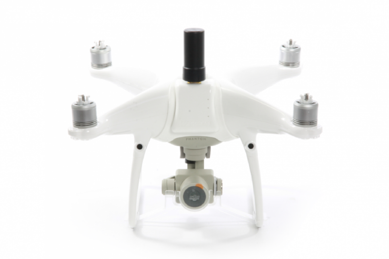
Our company carries out the modernization of the drone company DJI, which allows to use them as a professional PPK geodetic systems.We offer an upgrade kit for DJI industrial drones to the level of professional geodetic drones with calibrated and modified DJI X4S camera and dual-frequency L1/L2 GNSS PPK receiver.
| Names of modernized models | Upgrade to RTK/PPK | RTK/PPK upgrade kit | Ready RTK/PPK solution |
|---|---|---|---|
| DJI Inspire 2 | + | + | + |
| DJI Matrice 200 | + | + | + |
| DJI Matrice 210 | + | + | + |
Advantages of geodesic upgrade
-
the
- Geodesic solution to the professional level on the basis of industrial drones
- Calibrated and modified DJI X4S camera (20 MP) with integrated GNSS receiver
- Without interfering with the design of the drone, the manufacturer's warranty is maintained
- Foldable antenna allows you to use a standard transport case
- Easy installation process and no additional power required the
- Accuracy of up to 3 cm in x, y, z in post-processing without the use of control points
- Support for modern mission planning and execution SOFTWARE (Pix4Dcapture, Map Pilot, GS Pro) the
- Support for photogrammetric products: Agisoft Metashape, Pix4Dmapper, Bentley Context Capture
upgrade Package
- dual Frequency L1/L2 GNSS RTK/PPK receiver
- Foldable external GNSS antenna
- SOFTWARE for post-processing of GNSS measurements and image geotagging
- installation, configuration, operation and data processing instructions
Application of geodetic drones
Modern tool for high-precision geodetic aerial photography and topographic and geodetic works - complex automated solutions based on geodetic unmanned multirotor and aircraft type.The company's solutions TOPODRONE:
- does Not require serious piloting skills - all flights are performed automatically on pre-built missions.
- there is No need to lay and coordinate ground control points - you save time and money in the field.
- the Antenna is located above the center of photography, as well as using data from the onboard inertial navigation system to take into account the inclination of the antenna during the flight of the drone - this allows for increased accuracy compared to similar solutions on the market.
Geodesic capabilities of GNSS RTK/PPK receivers
All offered solutions are equipped with professional geodetic RTK/PPK GNSS receivers of two types:-
the
- Single-frequency L1 GNSS RTK/PPK receiver with 72 channels
- dual Frequency L1/L2 GNSS RTK/PPK receiver with 186 channels
- Supports GPS/QZSS, GLONASS, BeiDou, Galileo, SBAS satellite systems
- Have the ability to work in RTK mode, so more accurate for topographic and geodetic surveys mode PPK
- Determine the coordinates of the centers of photography with centimeter accuracy
- Provide accuracy of construction of digital model of the district and orthophotos up to 3 cm on x, y, z without use of reference points
Reviews
Review
Loading...
Services


.png)


