
|
EVO II Intelligent Battery |
$219 * 2 pcs.
|
|

|
UgCS Pro Perpetual License |
$790 * 1 pcs.
|
|

|
3Dsurvey Perpetual License |
$3 000 * 1 pcs.
|
| Bundle price | $7 913 |
Features:
1) Topodrone Autel EVO II Pro PPK can easy climb up to 800 meters from the takeoff point, this greatly enhances the capabilities when operating in mountainous terrain with significant altitude variation. Most competitive cannot climb higher 500 meters.
2) The real flight time on a single battery is 30 minutes in the wind speed of 5-7 m/s, which significantly increases the efficiency of survey, especially on linear objects.
3) Thanks to the patented Dynamic Track 2.0 technology, obstacle avoidance sensors system work on all sides and help the drone detect obstacles at high speeds and create trajectories in advance better and safer.
4) Excellent camera, based at 1-inch CMOS sensor, with adjustable f/2.8 f/11 aperture. The Topodrone Autel EVO II Pro PPK can capture professional level video content at up to 6K resolution.
5) The Topodrone Autel EVO II Pro PPK comes in a protective shockproof case with space for external batteries.
6) Significantly fewer restricted areas to fly, compared to competitors. Relevant for cities located near major international airports.
7) Maximum real range of radio control 6000 meters**, which allows you to receive telemetry an video stream with Topodrone Autel EVO II Pro PPK even at a long distance from the takeoff point.
8) You get all these advantages with Topodrone PPK technology, which will allow you to get the 3-5 cm accuracy without using reference points.
Description:
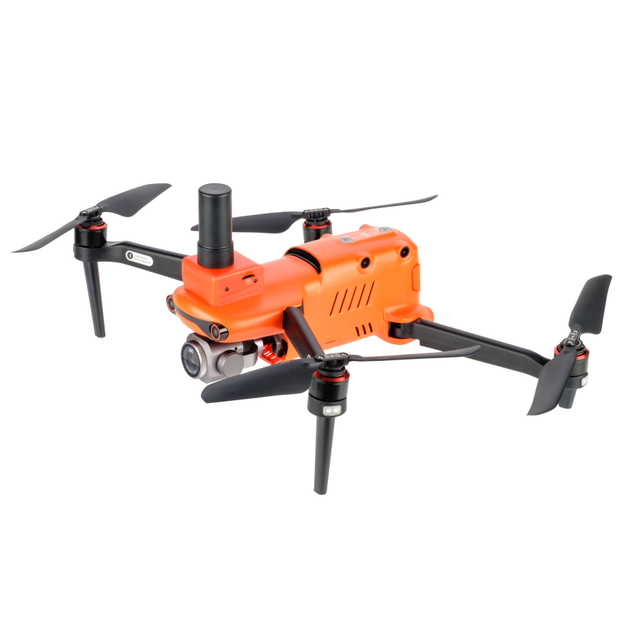
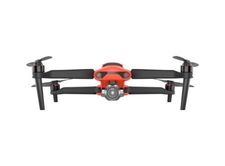
Topodrone Autel EVO II Pro PPK is a professional drone for highly accurate aerial surveying. This model has excellent and balanced features, including a 1-inch 20 MP camera sensor, flight time up to 30 minutes in real-world conditions, and a visual positioning sensor system that works in all 6 directions. It is possible to fly along the route, including terrain following*.
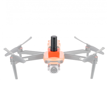
Topodrone PPK upgrade with GNSS receiver is integrated in Autel EVO II Pro drone to provide shutter events data and record high quality raw GNSS data for future post processing in Topodrone Post Processing software to get high accuracy coordinates of photo centers.
* Mission planning with terrain following is available when using third-party software UgCS Expert with route export in .KML format to standard Autel Explorer software.
** Measured at open area in direct line of sight, away from radio signal interference sources at 2.4 GHz


.png)


