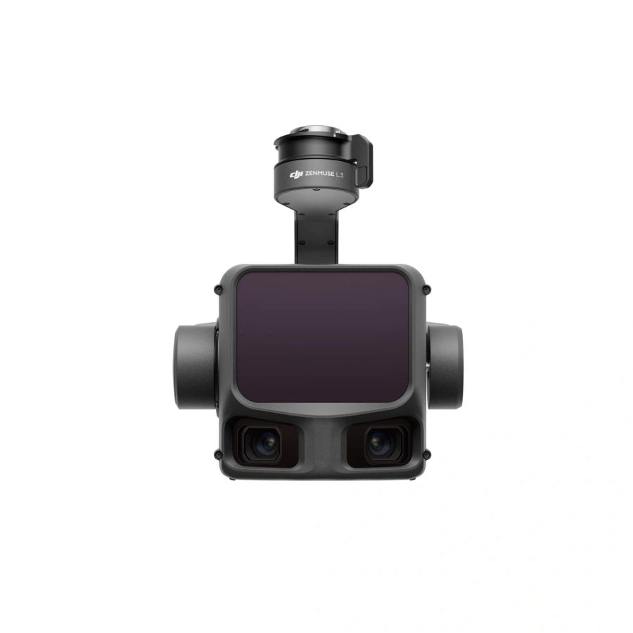
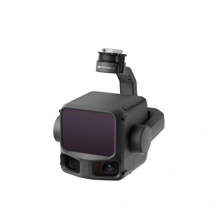
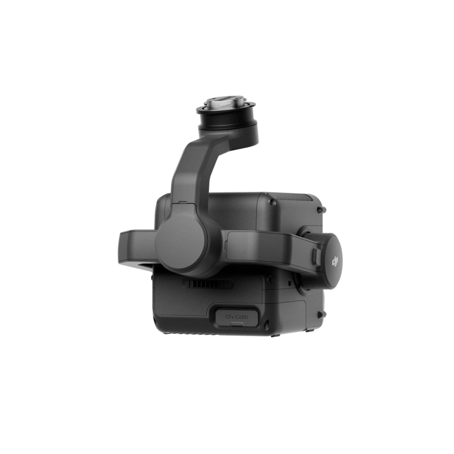
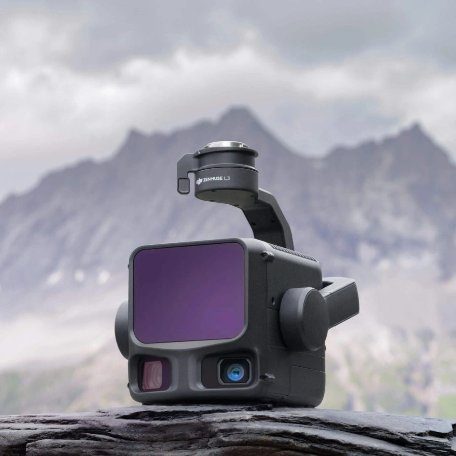
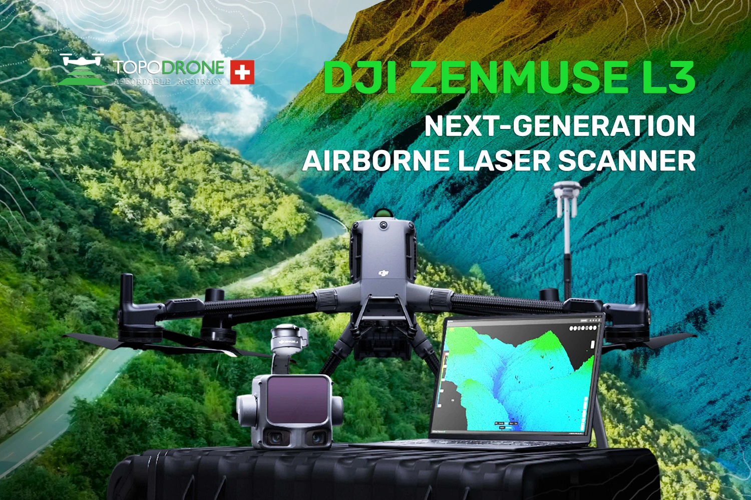
DJI Zenmuse L3 – Advanced Airborne LiDAR System
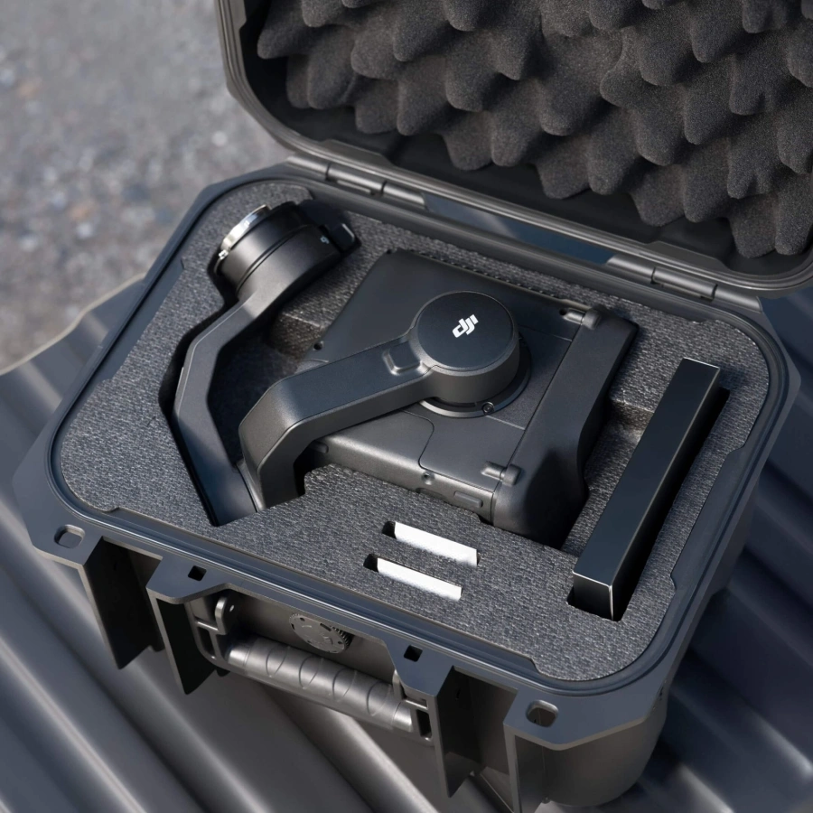
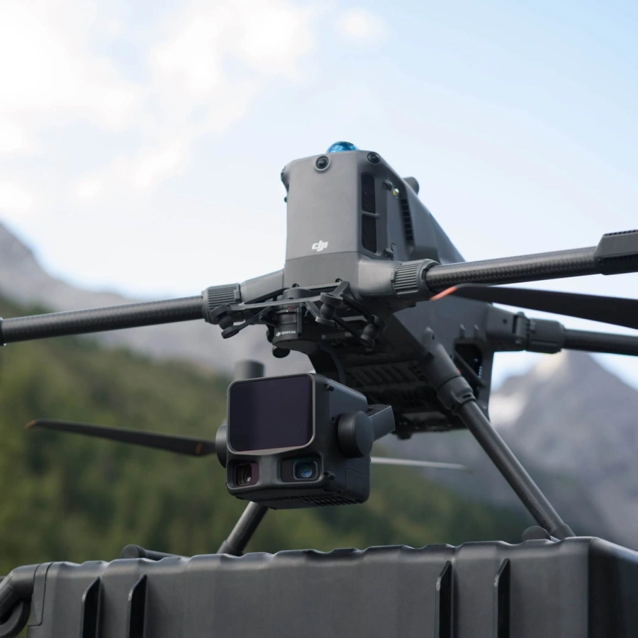
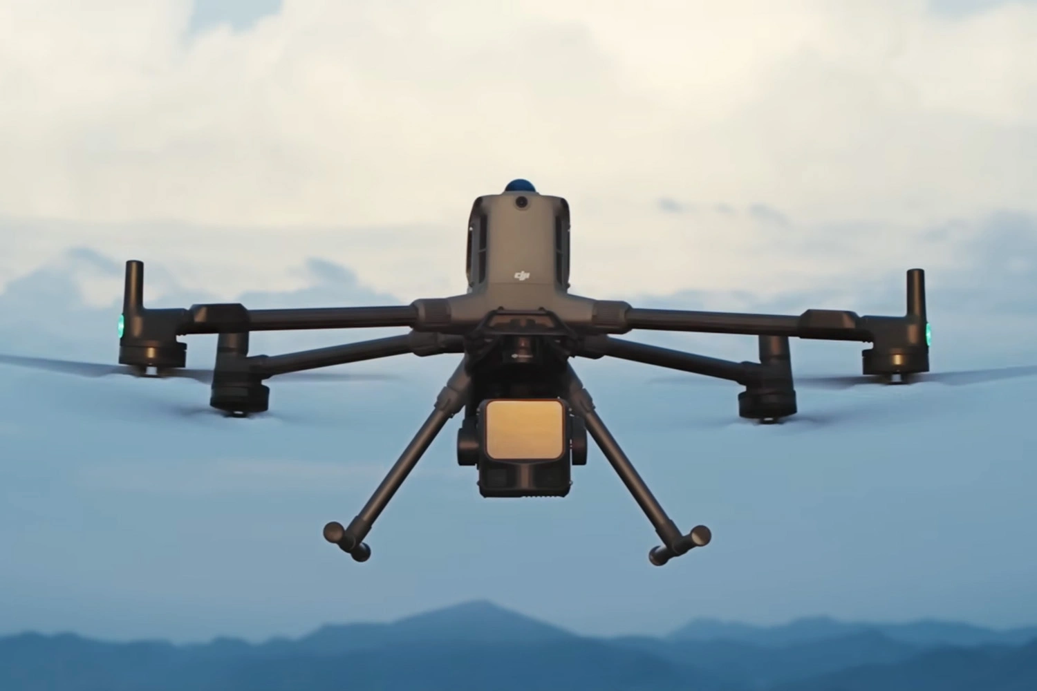
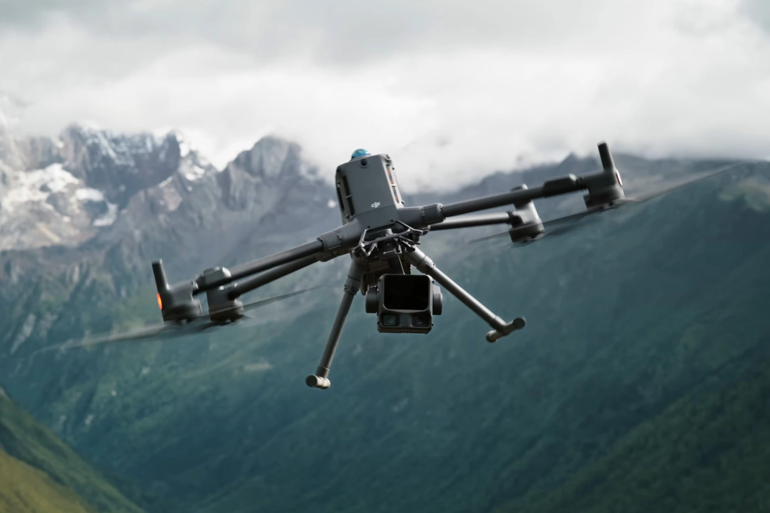
The DJI Zenmuse L3 is a state-of-the-art aerial LiDAR solution that combines long-range laser scanning, high-resolution photogrammetry, and precision navigation in a single integrated payload. Designed for use with the DJI Matrice 400 RTK, the system enables simultaneous LiDAR and photogrammetric data acquisition, covering up to 100 km² per day.
Key Advantages of the Zenmuse L3
Outstanding Range and Penetration
- Detection range up to 2,000 m with 80% reflectivity
- Up to 16 returns per pulse at 100/350 kHz
- Effectively captures data through vegetation and complex structures
High Accuracy
- Vertical accuracy: ±3.5 cm
- Horizontal accuracy: ±5 cm
- Enhanced POS module ensures stable position and orientation solutions
Dual 100 MP Photogrammetric Camera
- Simultaneous LiDAR and photogrammetric data capture
- Field of view: up to 107°, GSD: approx. 3 cm/pixel
- Generates geo-referenced orthomosaics, DEM/DTM, and colourised point clouds
Intelligent Scanning Modes
- Linear mode: uniform surface coverage
- Star mode: denser point clouds from multiple angles
- Non-repetitive mode: ideal for linear infrastructure and complex terrain
Operational Efficiency
- Coverage up to 10 km² per flight, or 100 km² per day
- Reduced number of flights due to higher LiDAR and photogrammetry overlap
Seamless DJI Ecosystem Integration
- Mission planning and control via DJI Pilot 2
- Post-processing in DJI Terra and DJI Modify
- PPK correction with D-RTK 3 for enhanced positional accuracy
Capabilities and Functionality
- Concurrent aerial imaging and LiDAR scanning – no additional flights required
- Generates geo-referenced orthophotos, DEM/DTM, and 3D models (TIN)
- Captures fine details such as power lines and structural elements
- Adjustable point cloud density for urban, forested, and linear environments
- Operational temperature range: −20 °C to +50 °C, protection rating IP54
Applications
- Large-scale topographic mapping
- Urban and construction mapping, 3D city modelling
- Forestry and environmental monitoring
- Infrastructure inspection: powerlines, pipelines, bridges
- Emergency response, heritage documentation, transport monitoring
Warranty
12 months
General
Country of origin
China
Warranty
12 months
Weight
1.60 kg (without single gimbal connector)
Dimensions
192 × 162 × 202 mm (L×W×H)
Operating temperature range
-20° to 50° C (-4° to 122° F)
Laser Sensor
Working Range
700 m @10% reflectivity (350 kHz); 950 m @10% reflectivity (100 kHz); 2000 m @80% reflectivity (100 kHz)
Working Flight Altitude
<500 m (100 kHz), <300 m (350 kHz), <100 m (1000 kHz), <50 m (2000 kHz)
Number of scanning beams
4, 8, 16 (100/350 kHz); 4, 8 (1000 kHz); 4 (2000 kHz)
Horizontal FOV
80°
Vertical FOV
3° (Linear mode) / 80° (Star or Non-Repetitive mode)
Scanning frequency (single reflection)
Up to 2 million pts/s (2000 kHz)
Scanning frequency (double reflection)
Up to 4 million pts/s
Scanning frequency (triple reflection)
Up to 6 million pts/s
Laser Wavelength
1535 nm
Water Resistance
IP54
Reviews
Review
Articles
Accessories


.png)


