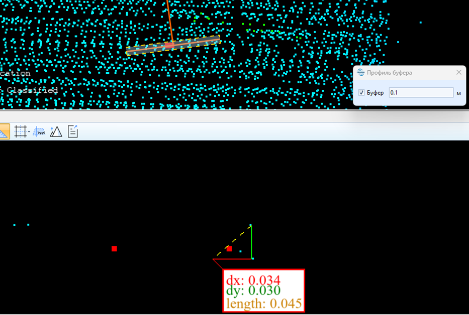
At this stage accuracy can be checked in two ways: 1.The accuracy can be checked using the profile view tool, draw a profile through a 0.1m wide control point, using the measure tool. The control point file is a comma separated text file. Each row should consist of 3 columns(X,YandZ).
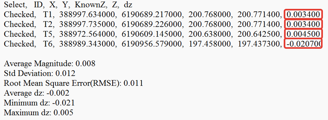
2.Create an automatic elevation accuracy report, between the TOPODRONE Airborne Laser Scanning cloud and the ground control points that have been defined using a classical method (total station, GNSS, etc.). Toolbox > Lane alignment > Control point report. In the opened window you should specify the cloud to be compared with the file that contains control points.