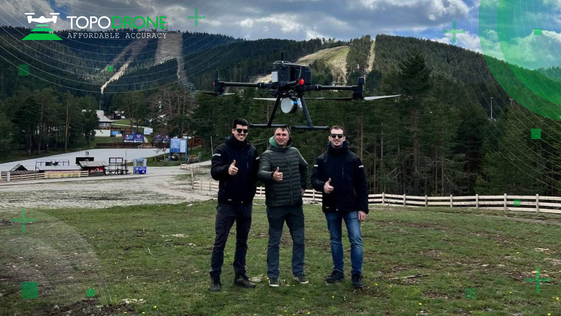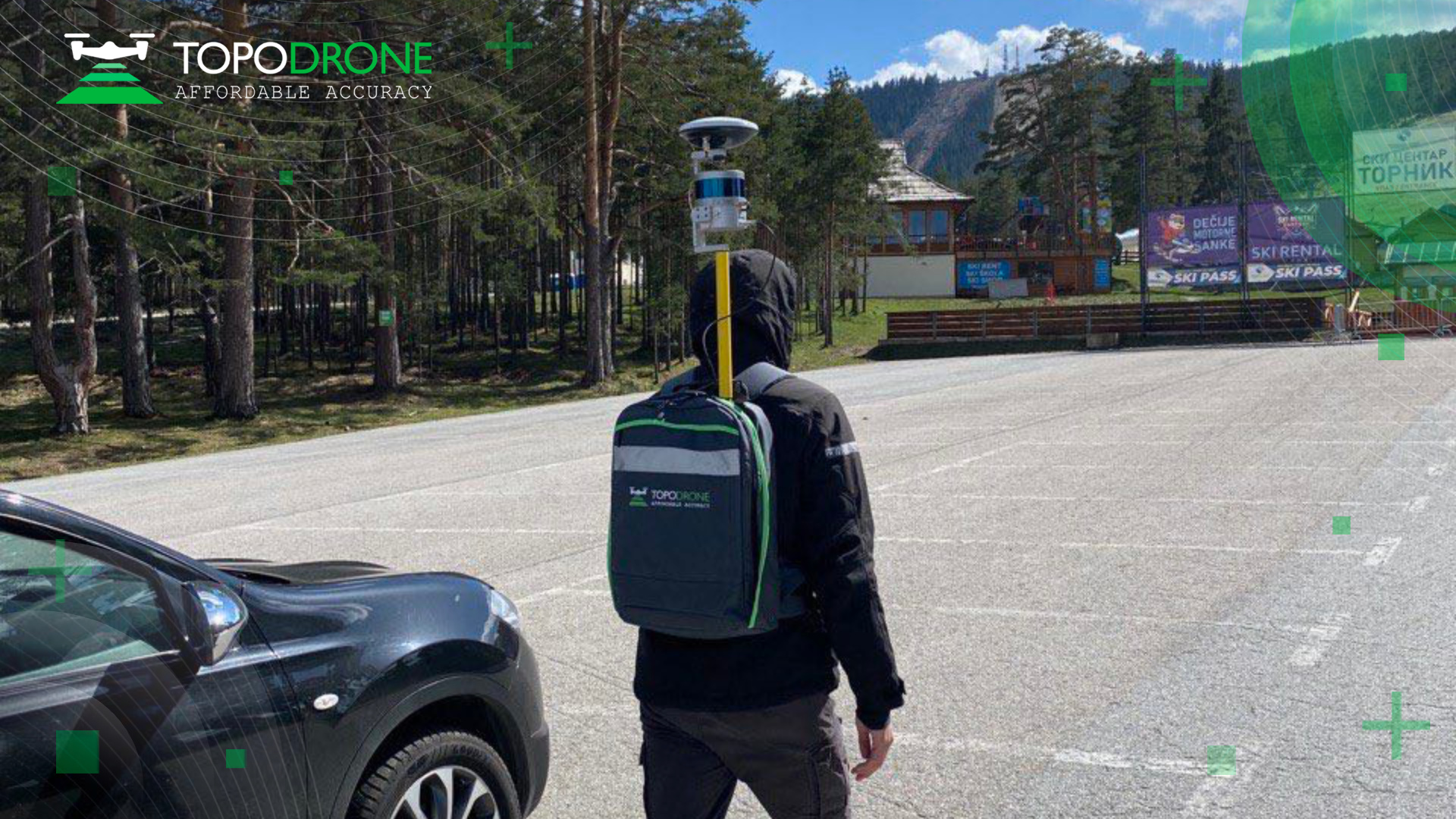







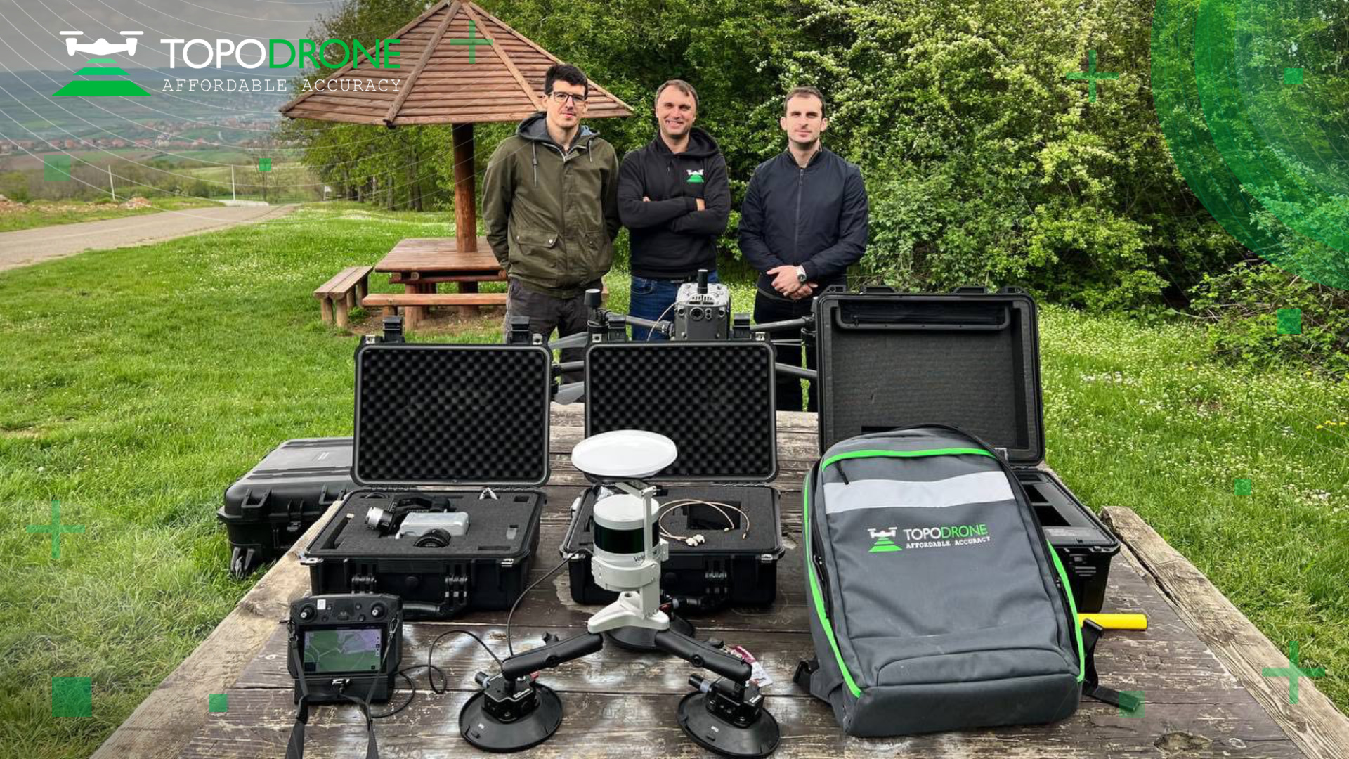
One of our most productive training methods is to go to a real customer site. This time we went to the rapidly developing ski resort of Tornik to conduct a full range of aerial photo and LIDAR surveying work. We provided in-depth practical training on mission planning, processing aerial and mobile laser scanning data, photogrammetry, quality control, and issuance of the final result. Together with the client we created an orthophotomap using the professional high-resolution P61 camera, performed UAV LIDAR survey of the entire working area, mobile scanning from a car on the access road, and backpack scanning with SLAM processing for areas requiring more detailed information. We also taught how to use TOPODRONE Post Processing software as a single software solution for multiple data processing purposes.
We were impressed with the level of knowledge and preparation of GEOURB employees, and we hope that our equipment, software and acquired skills will be productively used by them on other ski resorts and other projects, which are growing more and more in Serbia. TOPODRONE solutions allow a small team of 1-3 surveyors to study a ski resort within one day.
With TOPODRONE, you can achieve high-quality results, and we are committed to providing the best possible support to our clients.