Knowledge base
Blog
Services
  • Aerial Photography
    • UAV Monitoring & Inspections
    • UAV Photogrammetry
  • Laser Scanning
    • Aerial Laser Scanning
    • Quarry Surveying
    • Topographical Surveying
  • Training
    • UAV Pilot Course: Photogrammetry & ALS
Company
  • Staff
  • News
  • Reviews
  • Vacancy
  • Licenses
  • Documents
  • Partners
Information
  • Requisites
Brands
Contacts
    +41 21 588 02 11
    +41 21 588 02 11 09:00-18:00 whatsapp.svg
    Sales [email protected] email.png
    Support [email protected] email.png
    Telegram Channel @topodronesa tg.svg
    Telegram Chat @topodronesagroup tg.svg
    Telegram Bot @topodronecombot tg.svg
    Facebook @topodronesa ycz1c9257s6gh7g315r8q6tob3bnddba.png
    Youtube @topodronesa youtube.png
    LinkedIn @topodrone 9ratq3v3eavnhupo1akvxp0sbx4vopj5.png
    X @topodrone twitter.png
    Instagram @topodrone tpxkj71axu6dxt423lwj5idzwcej1njx.png
    Email
    [email protected] - Sales
    [email protected] - Support
    The address
    TOPODRONE SA, Rue de la Gare 13, 1820 Montreux, Switzerland
    Working hours
    10:00-18:00
    TOPODRONE
    SPH Engineering
    3Dsurvey
    Velodyne
    DJI
    GreenValley International
    Honeywell
    Fixar
    Blue Marble Geographics
    Sony
    Agisoft
    EMLID
    Pix4D
    Autel Robotics
    SHAREUAV
    • LiDAR
      LiDAR
      • Aerial Survey LiDAR
      • SLAM Survey LiDAR
      • LiDAR Accessories
    • Bathymetry
      Bathymetry
    • Photogrammetry
      Photogrammetry
      • Mapping Drones
      • Drone Mapping Cameras
      • VTOL Mapping Cameras
    • PPK Upgrade Kits
      PPK Upgrade Kits
      • PPK for Drones
      • PPK for any UAV
    • Spectrography
      Spectrography
      • Thermal
      • Multispectral
    • UAV
      UAV
      • DJI
      • Autel Robotics
      • FIXAR
      • Innotech drone
    • Payload
      Payload
      • Aerial Survey LiDAR
      • Bathymetric Scanner
      • Photogrammetric Cameras
      • Thermal Cameras
      • Multispectral Cameras
      • Beacon
    • Software
      Software
      • TOPODRONE
      • UgCS
      • Agisoft
      • 3Dsurvey
      • LiDAR360
      • DJI
      • PIX4D
    • GNSS Equipment
      GNSS Equipment
      • EMLID
      • DJI
    TOPODRONE – LiDAR & UAV Survey
    Log in
    0 Comparison
    0 Favorites
    0 Cart
    TOPODRONE – LiDAR & UAV Survey
    Log in
    0 Comparison
    0 Favorites
    0 Cart
    TOPODRONE – LiDAR & UAV Survey
    Telephones
    +41 21 588 02 11 09:00-18:00 whatsapp.svg
    Sales [email protected] email.png
    Support [email protected] email.png
    Telegram Channel @topodronesa tg.svg
    Telegram Chat @topodronesagroup tg.svg
    Telegram Bot @topodronecombot tg.svg
    Facebook @topodronesa ycz1c9257s6gh7g315r8q6tob3bnddba.png
    Youtube @topodronesa youtube.png
    LinkedIn @topodrone 9ratq3v3eavnhupo1akvxp0sbx4vopj5.png
    X @topodrone twitter.png
    Instagram @topodrone tpxkj71axu6dxt423lwj5idzwcej1njx.png
    Email
    [email protected] - Sales
    [email protected] - Support
    The address
    TOPODRONE SA, Rue de la Gare 13, 1820 Montreux, Switzerland
    Working hours
    10:00-18:00
    0
    0
    0
    • Cabinet
    • 0 Compare
    • 0 Favorite
    • 0 Cart
    • Brands
    • Sales
    • Services
      • Services
      • Aerial Photography
        • Aerial Photography
        • UAV Monitoring & Inspections
        • UAV Photogrammetry
      • Laser Scanning
        • Laser Scanning
        • Aerial Laser Scanning
        • Quarry Surveying
        • Topographical Surveying
      • Training
        • Training
        • UAV Pilot Course: Photogrammetry & ALS
    • Company
      • Company
      • Staff
      • News
      • Reviews
      • Vacancy
      • Licenses
      • Documents
      • Partners
    • Blog
    • Information
      • Information
      • Requisites
    • Contacts
    +41 21 588 02 11 09:00-18:00
    • Telephones
    • +41 21 588 02 11 09:00-18:00
      whatsapp.svg
    • Sales [email protected]
      email.png
    • Support [email protected]
      email.png
    • Telegram Channel @topodronesa
      tg.svg
    • Telegram Chat @topodronesagroup
      tg.svg
    • Telegram Bot @topodronecombot
      tg.svg
    • Facebook @topodronesa
      ycz1c9257s6gh7g315r8q6tob3bnddba.png
    • Youtube @topodronesa
      youtube.png
    • LinkedIn @topodrone
      9ratq3v3eavnhupo1akvxp0sbx4vopj5.png
    • X @topodrone
      twitter.png
    • Instagram @topodrone
      tpxkj71axu6dxt423lwj5idzwcej1njx.png
    • [email protected] - Sales
      [email protected] - Support
    • TOPODRONE SA, Rue de la Gare 13, 1820 Montreux, Switzerland
    • 10:00-18:00
    Main
    Company
    News
    TOPODRONE CONDUCTS BATHYMETRIC TRAINING FOR THE UNIVERSITY OF CYPRUS

    TOPODRONE CONDUCTS BATHYMETRIC TRAINING FOR THE UNIVERSITY OF CYPRUS

    TOPODRONE CONDUCTS BATHYMETRIC TRAINING FOR THE UNIVERSITY OF CYPRUS
    16 March 2026

    The TOPODRONE team delivered an on-site training programme for specialists from the University of Cyprus focused on the application of unmanned technologies for bathymetric monitoring of reservoirs and hydraulic structures.

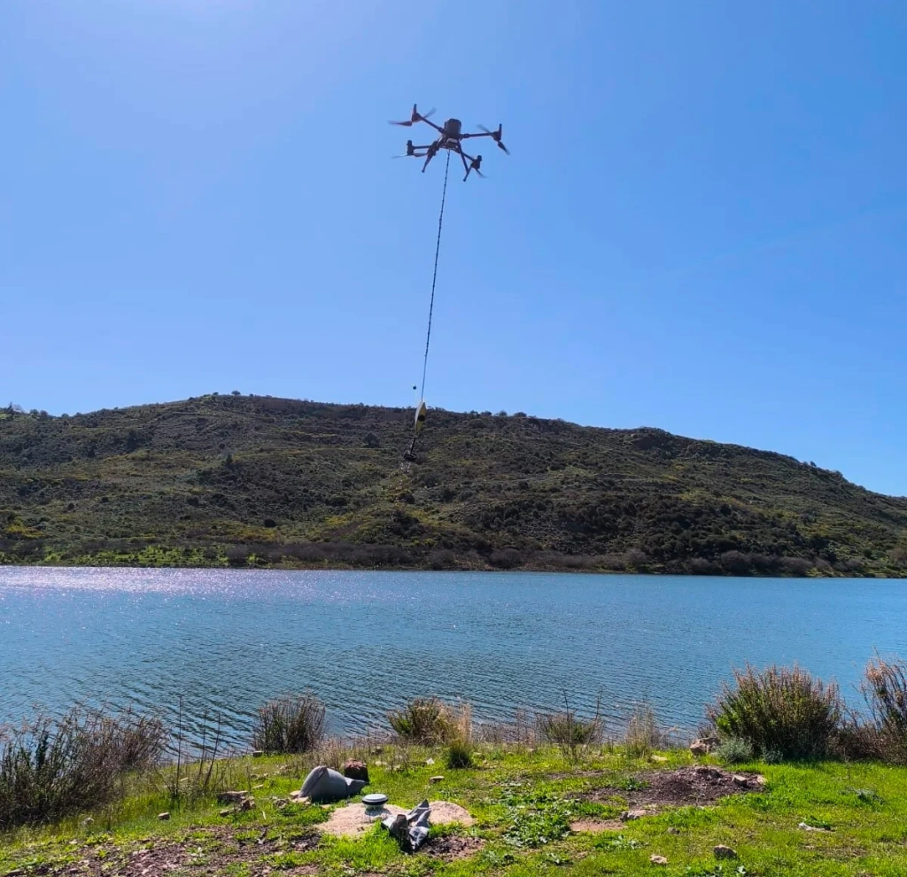
    The practical part of the course took place directly at the client’s site — a dam near the city of Paphos that had previously failed and remained under repair for several years. Following the restoration of the hydraulic structure, the reservoir was refilled, creating the need for regular monitoring of the underwater terrain.

    To address this task, the university acquired the TOPODRONE AQUAMAPPER NEXTGEN bathymetric system, installed on a DJI Matrice 350 UAV platform.

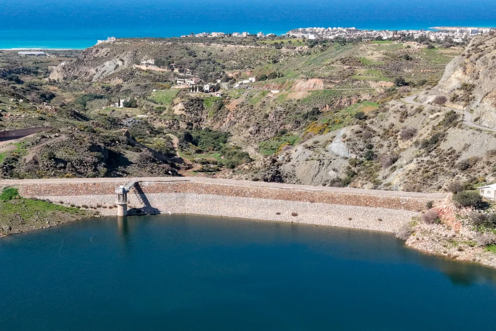
    Image 1. Dam near Paphos


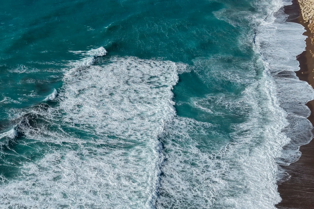
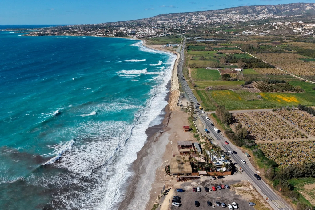
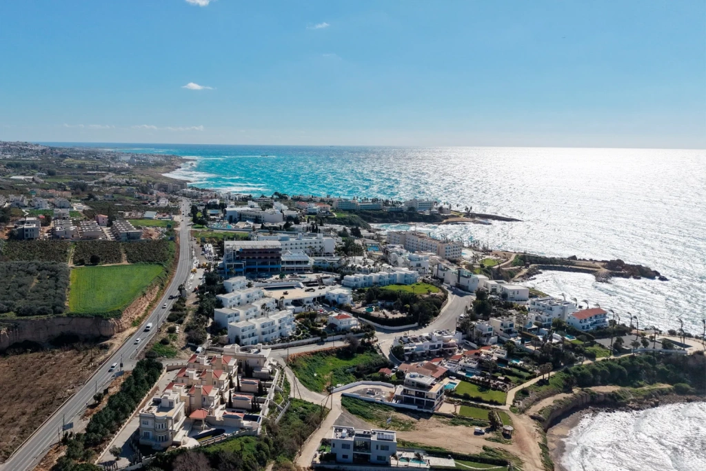
    Images 2–4. We couldn’t resist sharing these beautiful views of springtime Cyprus ;)

    Why Bathymetric Monitoring Is Required

    The dam is already equipped with a system of sensors and monitoring pipes used to track movements of soil layers. However, such systems record only localised changes and do not provide a complete picture of how the reservoir bed morphology evolves over time.

    At the same time, changes in the underwater terrain may indicate important processes, including:

    • sediment and sand deposition;
    • redistribution of bottom material;
    • changes in bed geometry near hydraulic structures.

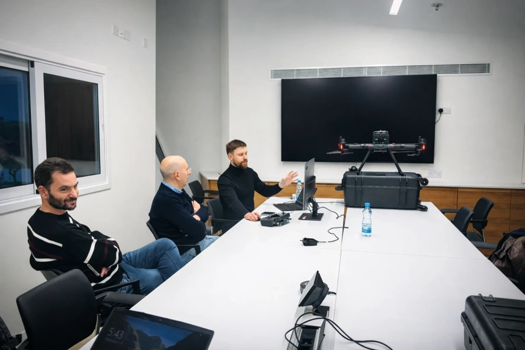
    Image 5. Classroom session of the training course

    UAV-based bathymetric surveying makes it possible to regularly obtain a spatial model of the reservoir bed, significantly expanding monitoring capabilities.

    Surveying in Areas with Vegetation on the Reservoir Bed

    During the long period when the reservoir remained empty, parts of the exposed bed became overgrown with grass and shrubs.

    Under such conditions, it is particularly important to determine the true bottom level accurately.

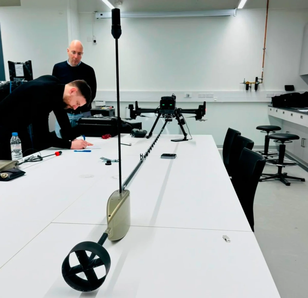
    The TOPODRONE AQUAMAPPER NEXTGEN bathymetric system is equipped with a dual-frequency ultrasonic sensor operating at 200 kHz and 450 kHz.

    The higher frequency reflects from the upper layers, such as aquatic vegetation, while the lower frequency penetrates through silt and plant cover, allowing surveyors to determine the actual bed elevation.

    This approach makes it possible to obtain reliable bathymetric data even in challenging conditions.

    TOPODRONE AQUAMAPPER NEXTGEN bathymetric system

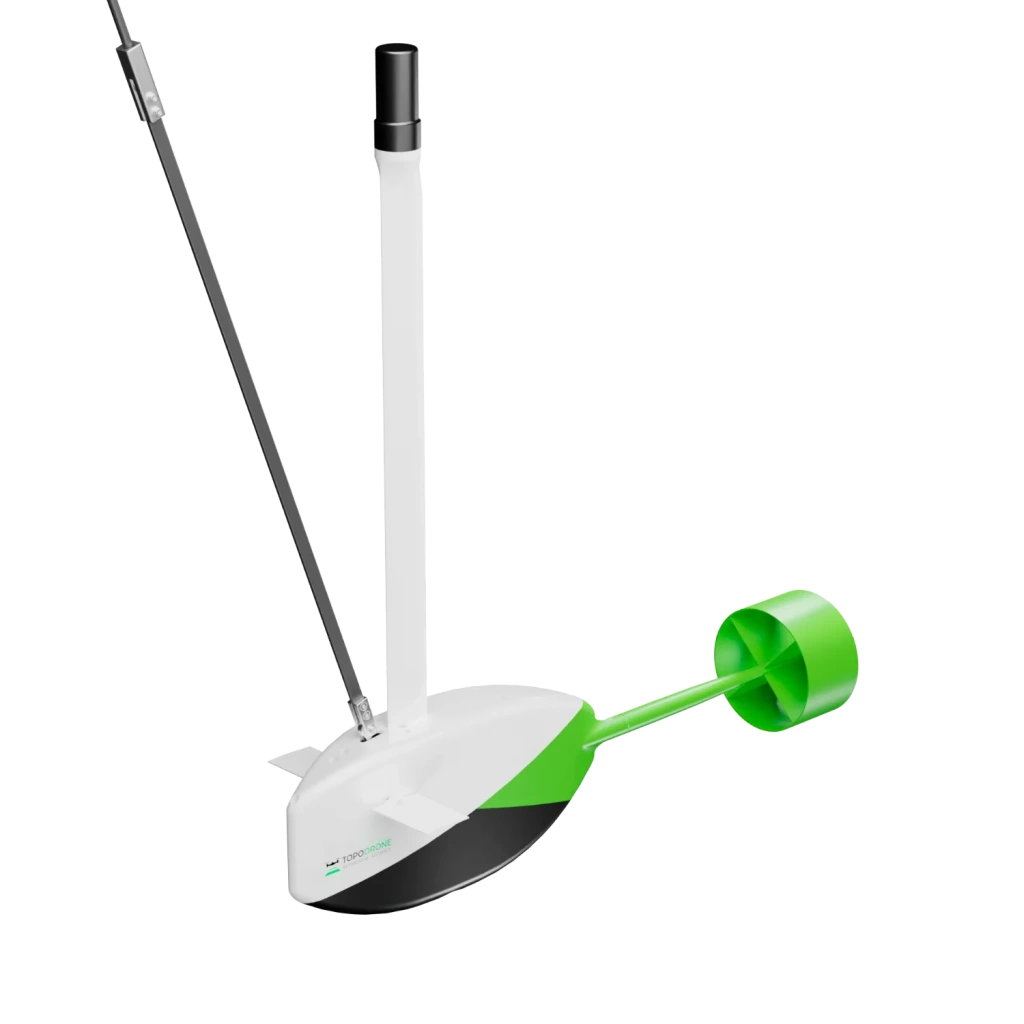
    Image 6. TOPODRONE AQUAMAPPER NEXTGEN bathymetric system

    DJI Matrice 350 RTK UAV platform

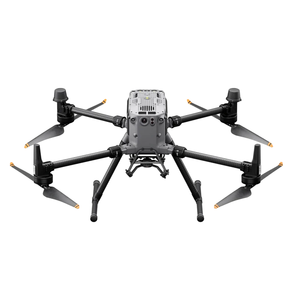
    Image 7. DJI Matrice 350 RTK UAV platform


    Practical Training at a Real Infrastructure Site

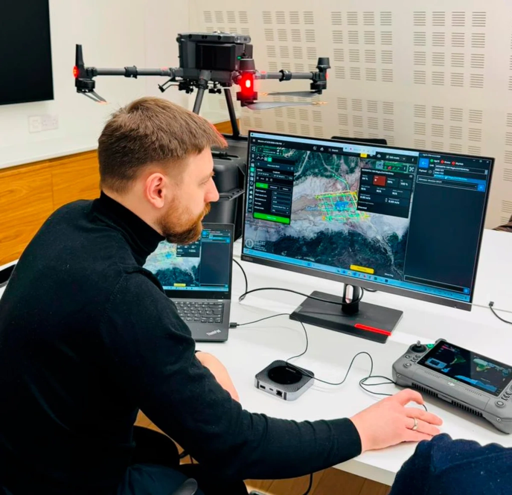
    The training programme focused on the operation of geodetic UAV-based survey systems and covered the complete workflow — from mission planning to the generation of final deliverables.

    Pre-flight preparation of the DJI Matrice 300 RTK with the TOPODRONE AQUAMAPPER NEXTGEN
    Pre-flight preparation of the DJI Matrice 300 RTK with the TOPODRONE AQUAMAPPER NEXTGEN
    Pre-flight preparation of the DJI Matrice 300 RTK with the TOPODRONE AQUAMAPPER NEXTGEN

    Pre-flight preparation of the DJI Matrice 300 RTK with the TOPODRONE AQUAMAPPER NEXTGEN
    Pre-flight preparation of the DJI Matrice 300 RTK with the TOPODRONE AQUAMAPPER NEXTGEN
    Pre-flight preparation of the DJI Matrice 300 RTK with the TOPODRONE AQUAMAPPER NEXTGEN

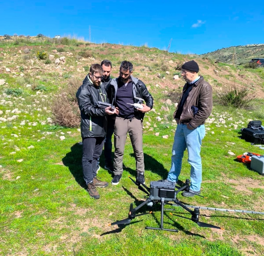
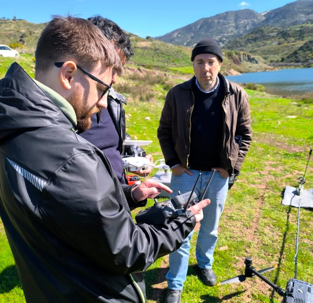
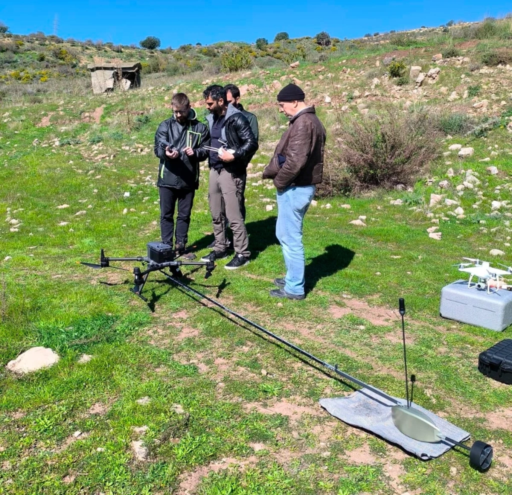
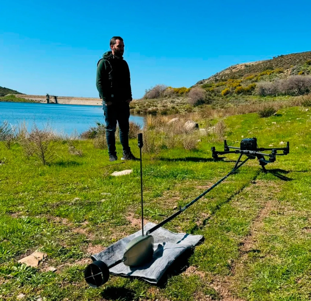
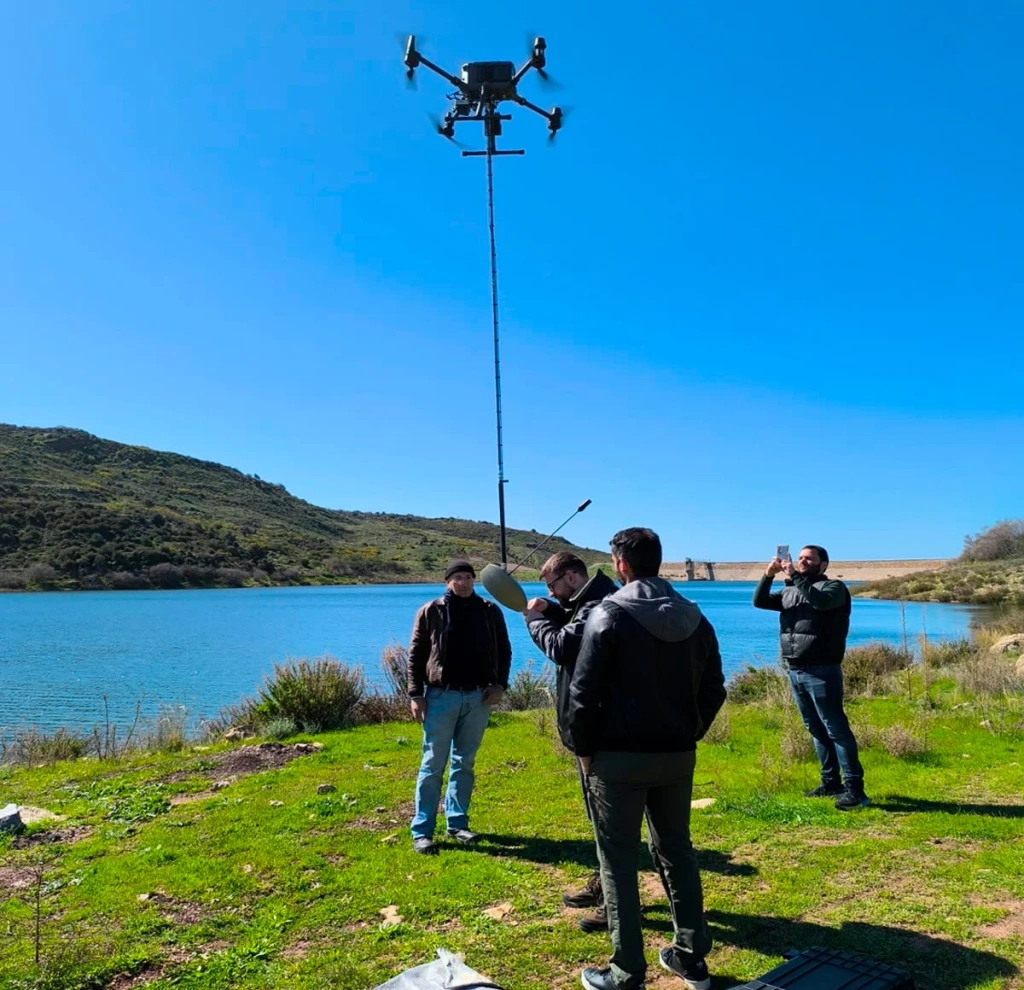
    Images 8–16. Field operations, equipment setup and UAV flight

    During the practical sessions, university specialists practised:

    • equipment preparation and mission planning;
    • performing bathymetric survey using a UAV;
    • field-based data quality control;
    • processing survey results and generating a bathymetric terrain model.

    Initial data processing was performed in TOPODRONE Post Processing, followed by further processing in LIDAR360.

    As part of the practical exercises, a demonstration survey of a reservoir section was carried out: four survey lines with 25 m spacing, each approximately 200 m in length.

    Processing of the survey data
    Processing of the survey data

    Images 17–18. Processing of the survey data

    Initial bathymetric data processing was performed in TOPODRONE Post Processing

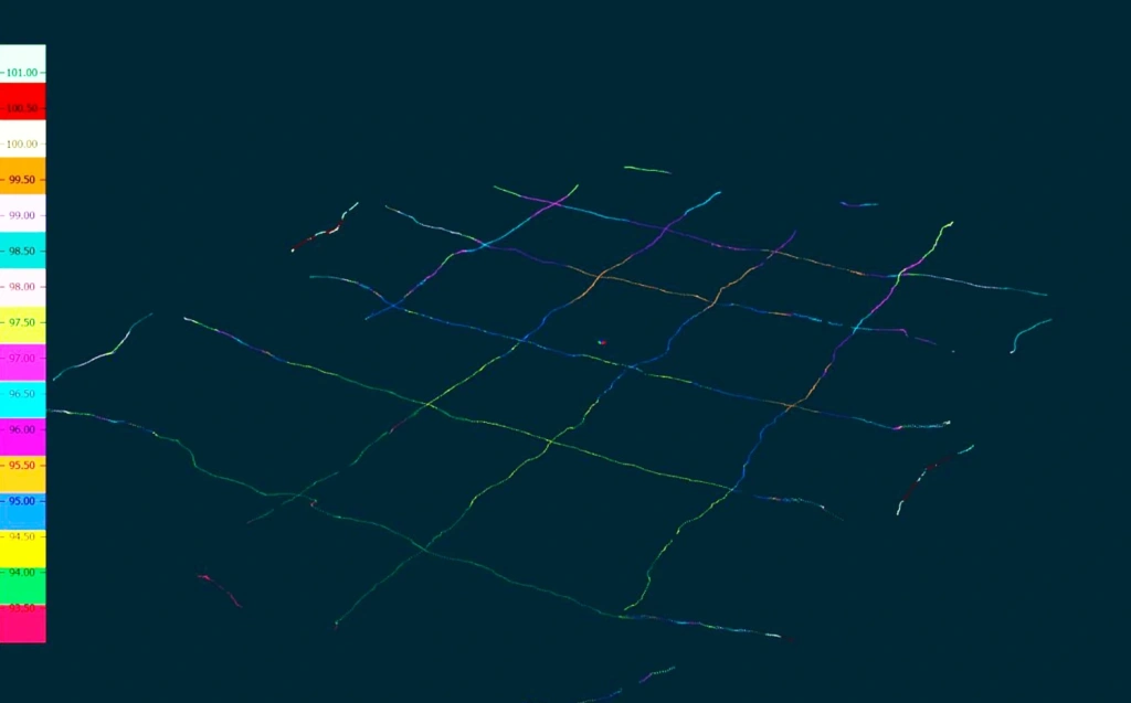
    Image 19. Software interface with imported data

    Initial bathymetric data processing was performed in TOPODRONE Post Processing

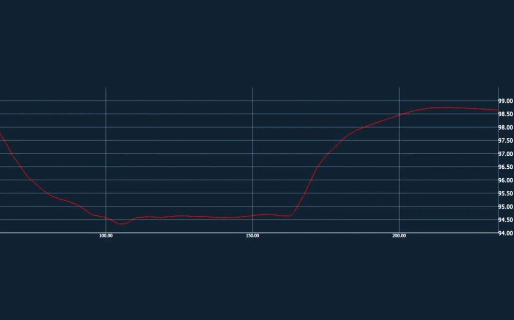
    Image 20. Upper panel — roll and pitch deviations; lower panel — bathymetric profile of the reservoir bed

    Initial bathymetric data processing was performed in TOPODRONE Post Processing

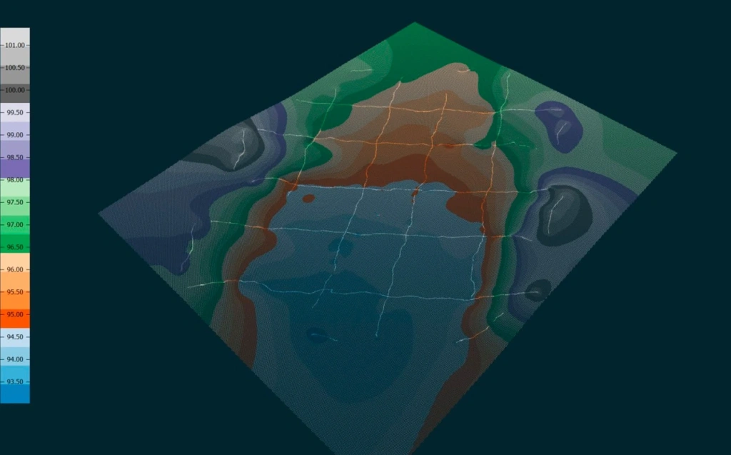
    Image 21. Calculated survey trajectory and bathymetric measurements
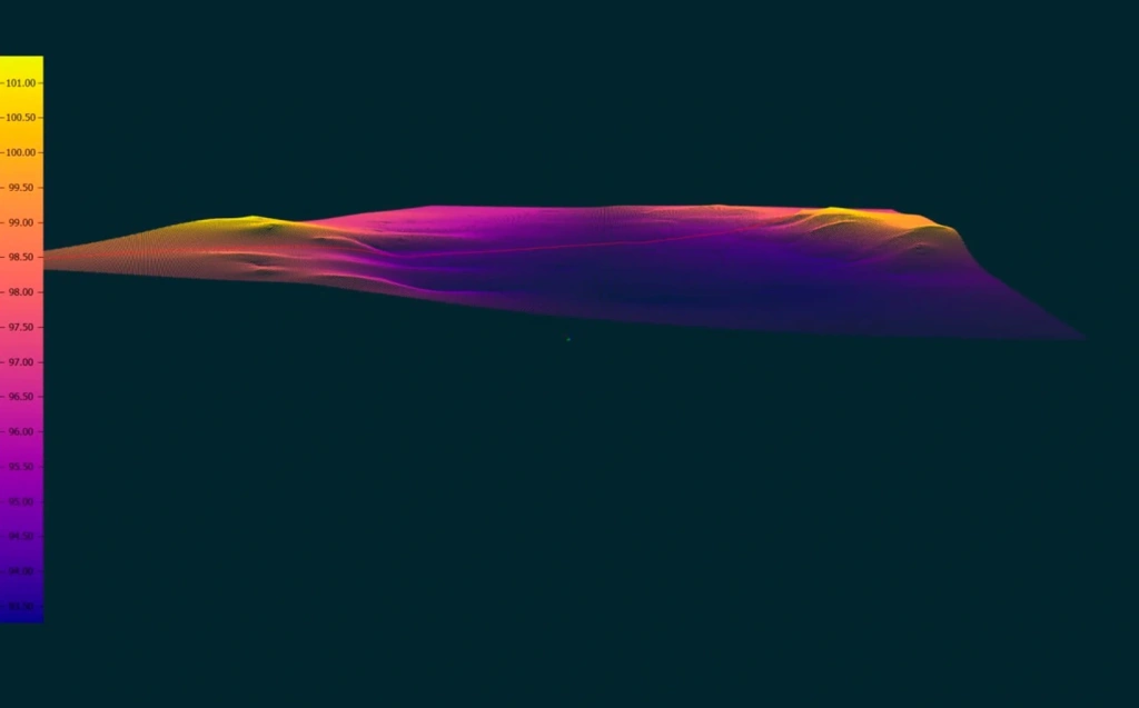

    Bathymetric data displayed in LIDAR360

    Image 22. Raw data

    Bathymetric data displayed in LIDAR360

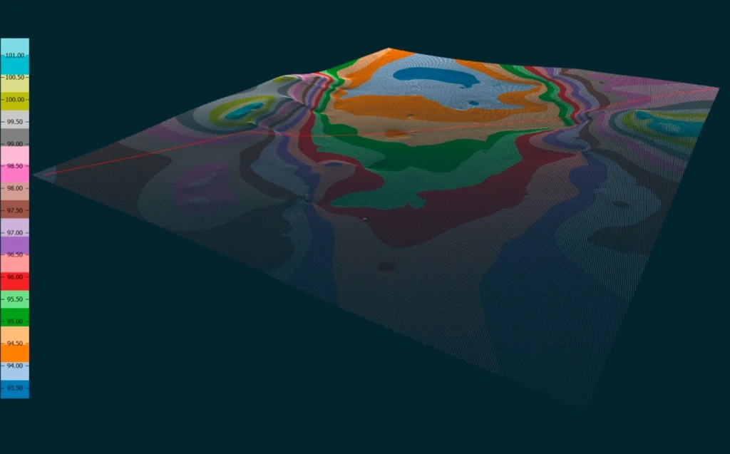
    Image 23. Reservoir bed profile

    Bathymetric data displayed in LIDAR360

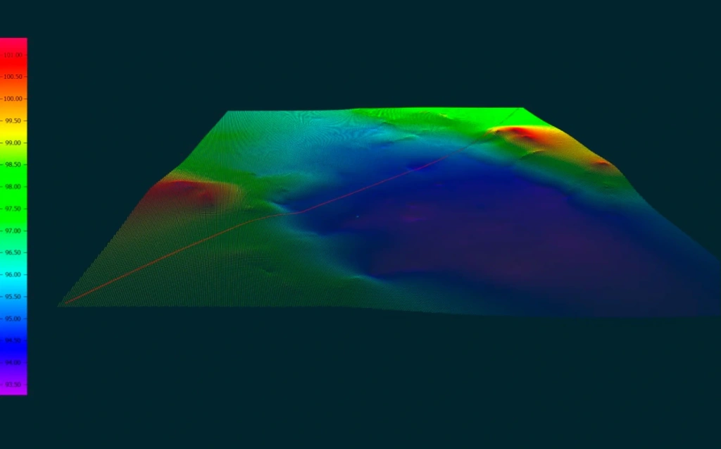
    Image 24. Interpolated DEM with raw measurement points


    This survey configuration allows specialists to quickly obtain cross-sectional bathymetric profiles and assess the condition of the reservoir bed.

    Working on a real infrastructure site enabled participants not only to learn how to operate the equipment but also to see how the collected data is used in practical monitoring applications.

    Future Applications

    It is planned that bathymetric surveys of the reservoir will be conducted approximately once per month.

    Regular monitoring will make it possible to track changes in the reservoir bed morphology and identify potential risks to the hydraulic structure at an early stage.

    In addition to monitoring the dam itself, the system is expected to be used for surveying coastal areas and other freshwater bodies across Cyprus.

    Interesting things in the blog

    TOPODRONE ADVANCES AIRBORNE BATHYMETRIC SURVEYING WITH AQUAMAPPER LAUNCH
    TOPODRONE ADVANCES AIRBORNE BATHYMETRIC SURVEYING WITH AQUAMAPPER LAUNCH
    14 October 2022
    • Comments
    Loading comments ...
    Back to the list
    • Staff
    • News
    • Reviews
    • Vacancy
    • Licenses
    • Documents
    • Partners
    Subscribe to the newsletter of our news and stocks
    Subscribe to
    Connect with us
    +41 21 588 02 11
    +41 21 588 02 11 09:00-18:00 whatsapp.svg
    Sales [email protected] email.png
    Support [email protected] email.png
    Telegram Channel @topodronesa tg.svg
    Telegram Chat @topodronesagroup tg.svg
    Telegram Bot @topodronecombot tg.svg
    Facebook @topodronesa ycz1c9257s6gh7g315r8q6tob3bnddba.png
    Youtube @topodronesa youtube.png
    LinkedIn @topodrone 9ratq3v3eavnhupo1akvxp0sbx4vopj5.png
    X @topodrone twitter.png
    Instagram @topodrone tpxkj71axu6dxt423lwj5idzwcej1njx.png
    Email
    [email protected] - Sales
    [email protected] - Support
    The address
    TOPODRONE SA, Rue de la Gare 13, 1820 Montreux, Switzerland
    Working hours
    10:00-18:00
    [email protected] - Sales
    [email protected] - Support
    TOPODRONE SA, Rue de la Gare 13, 1820 Montreux, Switzerland
    Products
    Sales
    Brands
    Services
    Applications
    Company
    Staff
    News
    Reviews
    Vacancy
    Licenses
    Documents
    Partners
    Information
    Requisites
    Help
    Payment
    Delivery
    Warranty
    FAQ
    © 2026 TOPODRONE SA
    Privacy Policy
    Main page Product 0 Comparison Contacts Blog Applications