Colleagues!
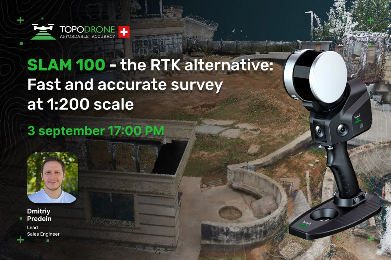
We invite you to join us on 3 September for a professional webinar: “SLAM 100/200 the RTK alternative – Fast and Accurate Survey at 1:200”.
Traditional surveying methods on sites with dense development, thick vegetation, steep terrain, or limited sky visibility often pose serious challenges. Using a practical example of surveying a 0.4 ha site, we will demonstrate how mobile laser scanning (SLAM) can deliver landscape geodesy results with accuracy of up to 5 cm in record time.
##G330##Webinar agenda:
Fieldworks in 20 minutes – Surveying methodology for a 0.4 ha site using the SLAM 100 + Insta 360 kit. Operation without GNSS or base stations, minimising preparatory work.
Scale 1:200 landscape survey requirements – The need for a 0.25 m contour interval and recording all features (trees, steps, drainage) for landscape design.
Data processing in 1 day – Workflow in SLAM Go Post and 3D Survey software: from point cloud to DTM, vectorisation, and generating DWG-format drawings.
Final project deliverables – Composition and format of data provided to the client: topographic plan with contours, 3D model, as-built drawings. Stated accuracy ≤ 5 cm.
SLAM technology features for complex landscapes:
- Increased fieldwork speed.
- Capability to survey without GNSS signal (forest, dense development).
- Detailed capture of complex-shaped objects.
- Degree of automation in office processing.
- Resource requirements (time/cost).
Analysis of using the SLAM 100 + Insta 360 kit – Results and practical experience from a specific landscape geodesy project.
##G331##Speaker:
Dmitriy Predein, Lead Sales Engineer at TOPODRONE
This webinar will be especially useful for:
- Landscape designers and architects
- Surveying companies and topographers
- Geodetic engineers and contractors (accelerate the surveying stage for landscape works)
- Landowners (learn about modern surveying methods)
- Geodesy students and lecturers (discover advanced practices)
Date: 3 September at 17:00
Free participation – register here.
We look forward to seeing you at the webinar – it’s going to be fascinating!

