


.png)


DJI MATRICE 4E SUPPORT ADDED IN TOPODRONE POST PROCESSING

Contents
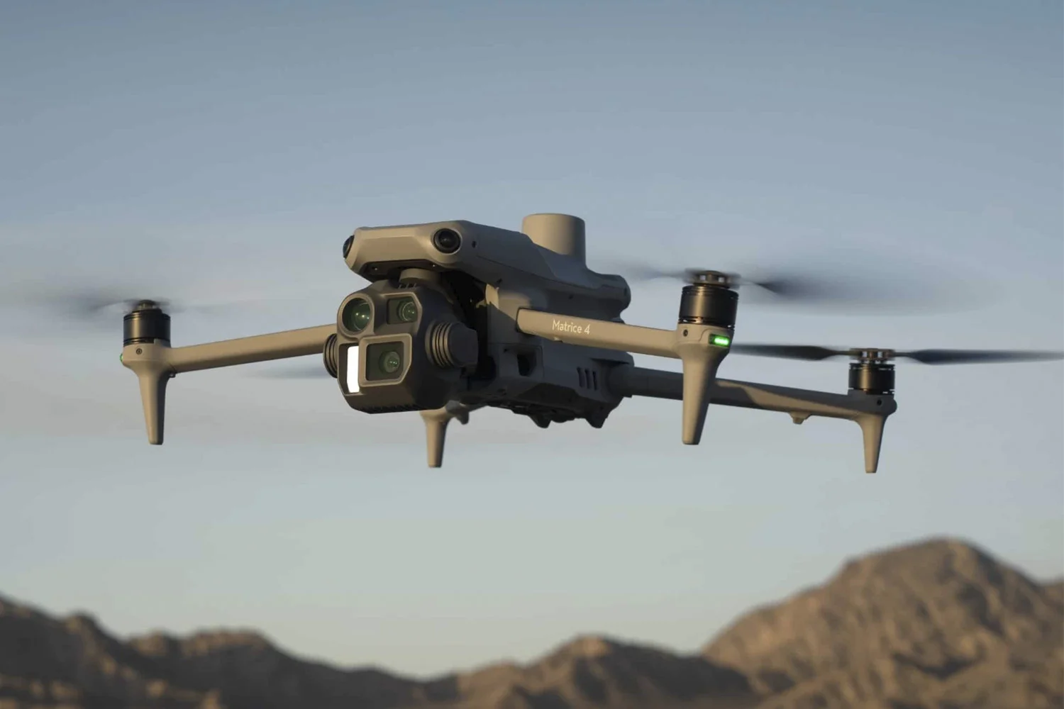
Image 1. Industrial drone DJI Matrice 4E
Adding functionality to TPP
The latest version of TOPODRONE Post Processing 1.5.2.1 (TPP) introduces support for the industrial-grade geodetic drone DJI Matrice 4E. All TPP functionality — from flight trajectory computation to the correction of photo centres using MRK files — is now available for this UAV.
Support for the Matrice 4E ensures accurate and reliable data processing and is particularly valuable for applied tasks in surveying, cartography, mine surveying, engineering surveys, infrastructure monitoring, and environmental research.
Video 1. Uploading data from the Matrice 4E drone to TOPODRONE Post Processing 1.5.2.1
TPP Capabilities for DJI Matrice 4E
In the Pro version, Matrice 4E users can access the following TPP modules:
- PRJ Editor — editing coordinate systems with transition parameters. Enables precise configuration of coordinate networks for correct GNSS and photogrammetric data processing.
- Static Post Processing — processing GNSS data in static mode, including individual vector processing and network adjustment with projection parameter computation. Ensures high accuracy and minimises errors during static processing.
- Coordinate Converter — conversion between coordinate systems based on *.prj files or previously created calibrations. Facilitates transitions between different coordinate frameworks.
- Point Cloud Viewer — visualisation and analysis of point clouds in *.las and *.laz formats. Allows quick assessment of survey quality and identification of potential errors.
- Calibration — computation of local coordinate system parameters relative to WGS-84 or ITRF. Corrects nonlinear and vertical distortions not addressed by standard methods.
- RINEX Merging — merges measurement files from different GNSS receivers into a single unified file. Particularly useful when working with base stations that segment data into time intervals.
- RTK Post Processing — automatic processing of GNSS measurements and extraction of precise photo centres from various UAVs.
For working with the DJI Matrice 4E in TPP, the Pro licence is the most suitable choice. The licence provides all the essential tools — GNSS data processing, coordinate conversion, point cloud viewing, and basic calibration.
TOPODRONE Post Processing — A Universal Geodata Solution
TPP is designed for professional UAV data processing, supporting platforms equipped with photogrammetric cameras and laser scanners.
The software provides the following functionality:
- Flight trajectory computation using GNSS;
- Acquisition of high-precision photo centre coordinates;
- Integration of GNSS and inertial system data;
- Generation of LiDAR point clouds;
- Static data processing.
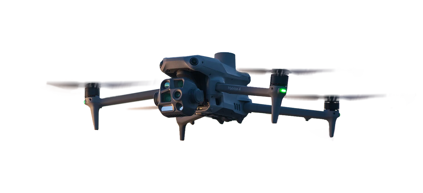
Image 2. Industrial series of UAVs DJI Matrice 4T/4E
In addition to the DJI Matrice 4E, TOPODRONE Post Processing supports a wide range of UAVs, including DJI Mavic 3E, DJI Mavic 3M, DJI Matrice 300 RTK with DJI Zenmuse P1 and L1, DJI Matrice 350 RTK with DJI Zenmuse P1 and L1, as well as the rather outdated drones Autel Evo II Dual RTK, DJI Phantom 4 RTK, and any UAVs equipped with our upgrade. The supported hardware list is continuously expanding.
Professional solution DJI Matrice 4E and TPP
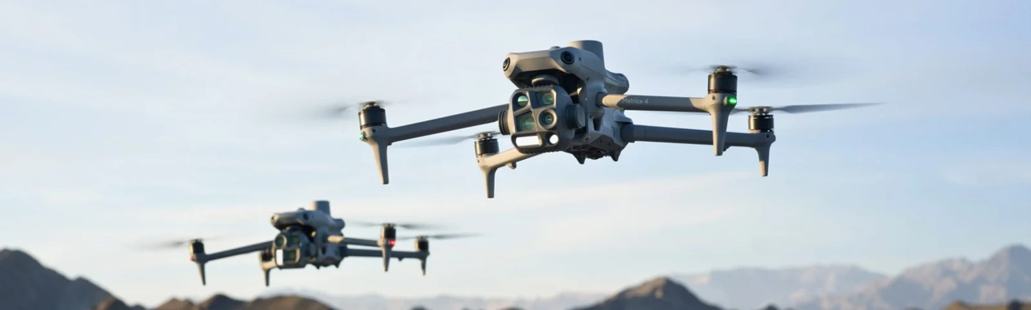
Image 3. Industrial drone series: DJI Matrice 4T/4E
The DJI Matrice 4E in combination with TOPODRONE Post Processing offers an efficient and cost-effective solution for professional data acquisition and processing. The system ensures high-accuracy GNSS measurements through advanced point cloud algorithms, optimised workflows, and minimised errors.
For enquiries about purchasing TOPODRONE Post Processing or for consultation, please email [email protected]
or call +41 21 588 02 11. You can also order the software by visiting the product page, and we will get in touch with you.