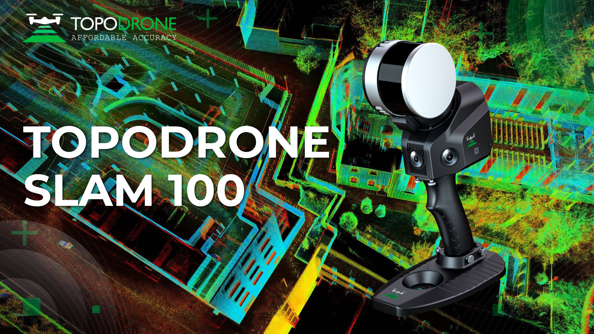
TOPODRONE LiDAR SLAM 100 ANNOUNCEMENT
TOPODRONE announces the launch of TOPODRONE SLAM 100, a mobile laser scanner with industrial grade SLAM algorithms, and releases a brand new TOPODRONE SLAM GO software. Thanks to the ability to receive highly accurate three-dimensional point clouds without the use of GNSS data, this addition to TOPODRONE's portfolio of mobile mapping solutions is expected to become a breakthrough for indoor scanning, including tunnels and mines.
TOPODRONE SLAM 100 is equipped with a 360° x 270° rotating laser sensor and 3 cameras (5 Mp each and a combined viewing angle of 200° x 100°) to create panoramas and point cloud coloring. An optional RTK module is available for high precision geo-referencing. The data management and storage systems are built in the sensor; to increase data processing speed data processing is performed at the workstation, not within the scanner itself. The device can be used in handheld mode, as well as on a backpack and on a vehicle.
TOPODRONE SLAM GO software is presented both as a mobile app and as a desktop version. The TOPODRONE SLAM GO mobile app allows real-time dense point cloud generation and field project management. The desktop version features post-processing, dense point cloud coloring, cloud stitching, preview of results and measurement.
Features:- SLAM algorithms for non-GNSS operation, including indoors and tunnels.
- Point cloud coloring with 3 built-in cameras.
- Backpack mount option for comfortable scanning.
- Optional RTK module for high precision geo-referencing.
- Data management and storage systems built into the scanner.
- Mobile application to build a real-time point cloud.
- LiDAR data post-processing software included.
TOPODRONE LiDAR SLAM 100 comes with control software and post-processing software.
Options:
- Backpack for TOPODRONE LiDAR SLAM 100
- RTK module for TOPODRONE LiDAR SLAM 100


.png)


