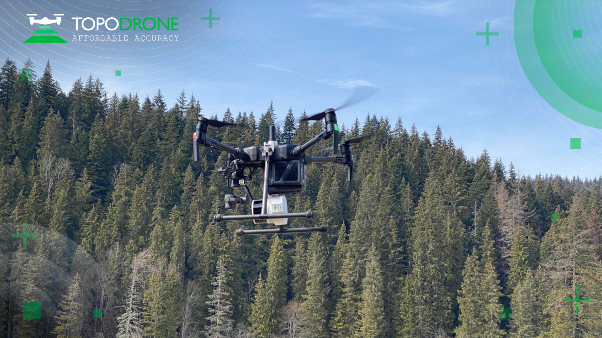
TOPODRONE LIDAR 200+ IN ROMANIA
We are excited to see how the latest generation of TOPODRONE LIDAR systems are being used for surveying and mapping in Romania by Semion Bruma.
Just a few weeks ago Semion received a new model of TOPODRONE LIDAR 200+ and has already completed an amazing project to survey a mountain river with a very difficult terrain structure.
This project demonstrates all the advantages of the LIDAR 200+:


Just a few weeks ago Semion received a new model of TOPODRONE LIDAR 200+ and has already completed an amazing project to survey a mountain river with a very difficult terrain structure.
This project demonstrates all the advantages of the LIDAR 200+:
- A new level of accuracy and precision with an improved high performance GNSS based inertial navigation system designed and manufactured in Switzerland;
- A maximum flight altitude of 200 metres helps to perform the survey in difficult to access mountain and forest areas;
- Compact design with a payload weight of 800 grams increases flight time and efficiency, allowing installation on any type of VTOL;
- Versatility. LIDAR 200+ can be mounted on any drone, vehicle or backpack. Only one LIDAR for UAV & mobile laser scanning.

.jpg)


.png)


