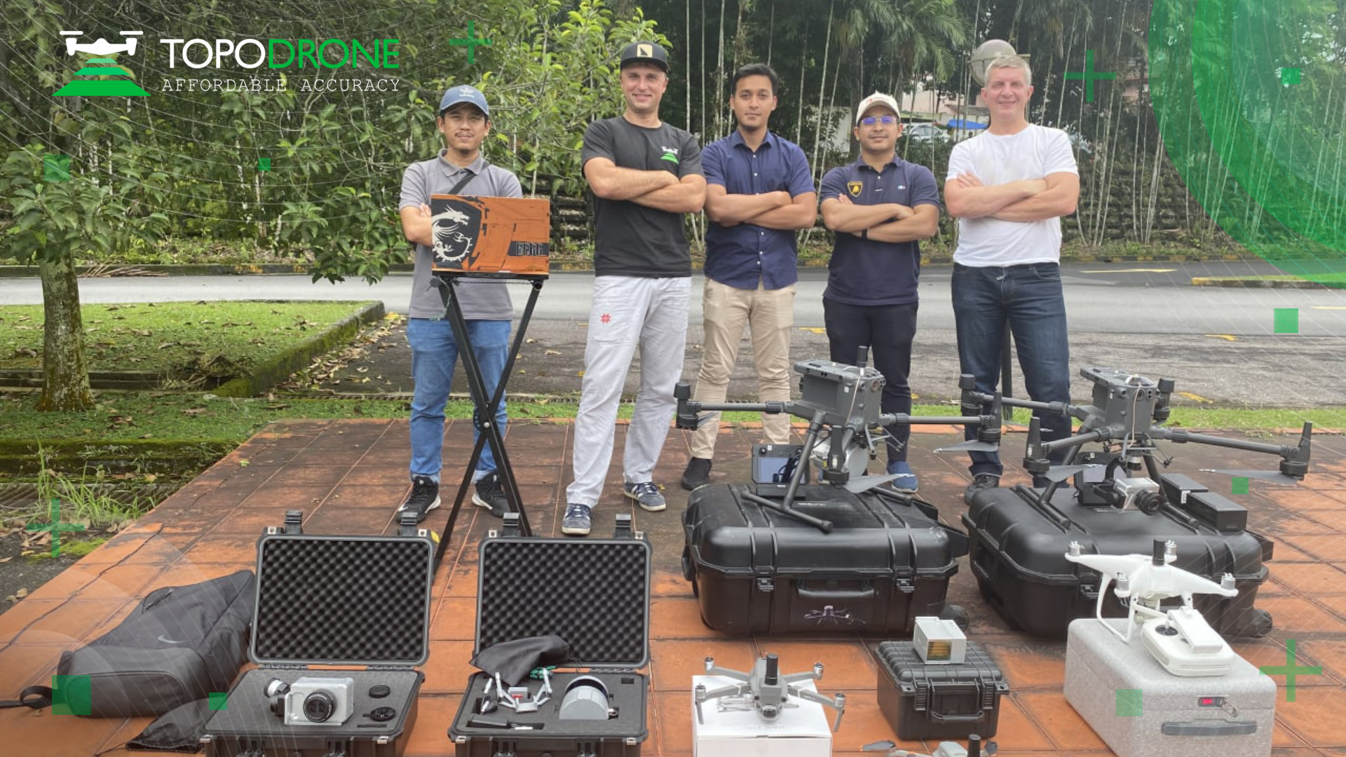
TOPODRONE in Malaysia.
Few weeks ago TOPODRONE team together with SKI-SHINE CORPORATION provided the extensive workshop for drone LiDAR survey.
TOPODRONE LiDAR ULTRA with 200 meters working range showed the outstanding results in deep vegetation areas.
"LIDAR ULTRA allows to fly at higher and safer altitude covering larger area which is very important for mapping in mountainous and forested areas of Malaysia" - said Hamdam Ismail from SKI-SHINE.
All participants of the workshop were really impressed by accuracy and high speed of data processing. Within 20 minutes all results of LiDAR survey were processed in the field. 3 cm x,y,z accuracy of LiDAR point cloud were evaluated by check points measured in the field over the area.
TOPODRONE P61 camera approved the status of the most efficient and multipurpose tool for large area mapping and multispectral survey. Have a look at photos captured by 61 Mpixel full frame sensor from 200 meters altitude.

