






Knowledge base
Blog
Services
  • Aerial Photography
    • UAV Monitoring & Inspections
    • UAV Photogrammetry
  • Laser Scanning
    • Aerial Laser Scanning
    • Quarry Surveying
    • Topographical Surveying
  • Training
    • UAV Pilot Course: Photogrammetry & ALS
Company
  • Staff
  • News
  • Reviews
  • Vacancy
  • Licenses
  • Documents
  • Partners
Information
  • Requisites
Brands
Contacts
    +41 21 588 02 11
    +41 21 588 02 11 09:00-18:00 whatsapp.svg
    Sales info@topodrone.com email.png
    Support support@topodrone.com email.png
    Telegram Channel @topodronesa tg.svg
    Telegram Chat @topodronesagroup tg.svg
    Telegram Bot @topodronecombot tg.svg
    Facebook @topodronesa ycz1c9257s6gh7g315r8q6tob3bnddba.png
    Youtube @topodronesa youtube.png
    LinkedIn @topodrone 9ratq3v3eavnhupo1akvxp0sbx4vopj5.png
    X @topodrone twitter.png
    Instagram @topodrone tpxkj71axu6dxt423lwj5idzwcej1njx.png
    Email
    info@topodrone.com - Sales
    support@topodrone.com - Support
    The address
    TOPODRONE SA, Chemin du Closel 5, 1020, RENENS, Switzerland
    Working hours
    10:00-18:00
    TOPODRONE
    SPH Engineering
    3Dsurvey
    Velodyne
    DJI
    GreenValley International
    Honeywell
    Fixar
    Blue Marble Geographics
    Sony
    Agisoft
    EMLID
    Pix4D
    Autel Robotics
    SHAREUAV
    • LiDAR
      LiDAR
      • Aerial Survey LiDAR
      • SLAM Survey LiDAR
      • LiDAR Accessories
    • Bathymetry
      Bathymetry
    • Photogrammetry
      Photogrammetry
      • Mapping Drones
      • Drone Mapping Cameras
      • VTOL Mapping Cameras
    • PPK Upgrade Kits
      PPK Upgrade Kits
      • PPK for Drones
      • PPK for any UAV
    • Spectrography
      Spectrography
      • Thermal
      • Multispectral
    • UAV
      UAV
      • DJI
      • Autel Robotics
      • FIXAR
      • Innotech drone
    • Payload
      Payload
      • Aerial Survey LiDAR
      • Bathymetric Scanner
      • Photogrammetric Cameras
      • Thermal Cameras
      • Multispectral Cameras
      • Beacon
    • Software
      Software
      • TOPODRONE
      • UgCS
      • Agisoft
      • 3Dsurvey
      • LiDAR360
      • DJI
      • PIX4D
    • GNSS Equipment
      GNSS Equipment
      • EMLID
      • DJI
    TOPODRONE – LiDAR & UAV Survey
    Log in
    0 Comparison
    0 Favorites
    0 Cart
    TOPODRONE – LiDAR & UAV Survey
    Log in
    0 Comparison
    0 Favorites
    0 Cart
    TOPODRONE – LiDAR & UAV Survey
    Telephones
    +41 21 588 02 11 09:00-18:00 whatsapp.svg
    Sales info@topodrone.com email.png
    Support support@topodrone.com email.png
    Telegram Channel @topodronesa tg.svg
    Telegram Chat @topodronesagroup tg.svg
    Telegram Bot @topodronecombot tg.svg
    Facebook @topodronesa ycz1c9257s6gh7g315r8q6tob3bnddba.png
    Youtube @topodronesa youtube.png
    LinkedIn @topodrone 9ratq3v3eavnhupo1akvxp0sbx4vopj5.png
    X @topodrone twitter.png
    Instagram @topodrone tpxkj71axu6dxt423lwj5idzwcej1njx.png
    Email
    info@topodrone.com - Sales
    support@topodrone.com - Support
    The address
    TOPODRONE SA, Chemin du Closel 5, 1020, RENENS, Switzerland
    Working hours
    10:00-18:00
    0
    0
    0
    • Cabinet
    • 0 Compare
    • 0 Favorite
    • 0 Cart
    • Brands
    • Sales
    • Services
      • Services
      • Aerial Photography
        • Aerial Photography
        • UAV Monitoring & Inspections
        • UAV Photogrammetry
      • Laser Scanning
        • Laser Scanning
        • Aerial Laser Scanning
        • Quarry Surveying
        • Topographical Surveying
      • Training
        • Training
        • UAV Pilot Course: Photogrammetry & ALS
    • Company
      • Company
      • Staff
      • News
      • Reviews
      • Vacancy
      • Licenses
      • Documents
      • Partners
    • Blog
    • Information
      • Information
      • Requisites
    • Contacts
    +41 21 588 02 11 09:00-18:00
    • Telephones
    • +41 21 588 02 11 09:00-18:00
      whatsapp.svg
    • Sales info@topodrone.com
      email.png
    • Support support@topodrone.com
      email.png
    • Telegram Channel @topodronesa
      tg.svg
    • Telegram Chat @topodronesagroup
      tg.svg
    • Telegram Bot @topodronecombot
      tg.svg
    • Facebook @topodronesa
      ycz1c9257s6gh7g315r8q6tob3bnddba.png
    • Youtube @topodronesa
      youtube.png
    • LinkedIn @topodrone
      9ratq3v3eavnhupo1akvxp0sbx4vopj5.png
    • X @topodrone
      twitter.png
    • Instagram @topodrone
      tpxkj71axu6dxt423lwj5idzwcej1njx.png
    • info@topodrone.com - Sales
      support@topodrone.com - Support
    • TOPODRONE SA, Chemin du Closel 5, 1020, RENENS, Switzerland
    • 10:00-18:00
    Main
    Brands
    Pix4D

    Pix4D

    Pix4D
    Pix4D
    https://www.pix4d.com/

    Popular first
    From begining alphabet
    From end alphabet
    Unpopular first
    Popular first
    Cheap first
    Expensive first
    By ascending quantity
    By descending quantity
    Filter
    Popular first
    From begining alphabet
    From end alphabet
    Unpopular first
    Popular first
    Cheap first
    Expensive first
    By ascending quantity
    By descending quantity
    PIX4Dmapper, Non-Commercial, 1 Year S&U Before Expiry
    PIX4Dmapper, Non-Commercial, 1 Year S&U Before Expiry
    5
    0
    Available
    Art. TDCH89106
    $609.95
    PIX4Dmatic, 1 Year
    PIX4Dmatic, 1 Year
    5
    0
    Available
    Art. TDCH89303

    PIX4Dmatic – Professional Photogrammetry for Large Areas and Corridor Mapping

    PIX4Dmatic is a next-generation, high-performance photogrammetry software solution purpose-built for processing large-scale projects: long corridor surveys, extensive territories and datasets containing thousands — or even tens of thousands — of images. It is optimised for speed, precision and the efficient handling of massive datasets, consistently delivering survey-grade results.

    It is ideally suited for surveyors, cartographers, engineers and construction or infrastructure companies working with high-volume aerial imagery.

    Key Benefits of PIX4Dmatic

    Maximum Performance

    • Handles extremely large image datasets — from several thousand to tens of thousands of photos.
    • Efficient utilisation of CPU and GPU resources for accelerated computation.
    • Optimised for corridor mapping: roads, powerlines, pipelines, railways and other linear assets.

    High-Accuracy Outputs

    • Generation of highly precise orthomosaics, point clouds and digital surface models.
    • Survey-grade accuracy supported by GCPs/CPs and robust photogrammetric algorithms.
    • Capable of processing vast areas without compromising accuracy.

    Modern Interface and Reliable Operation

    • Intuitive, professional interface designed for large, complex project workflows.
    • Stable processing of high-volume datasets with no freezing or project-size limitations.
    • Built-in data-quality checks and diagnostic tools for reliable results.

    Seamless Workflow Integration

    • Fully compatible with other PIX4D products, especially PIX4Dsurvey for downstream vectorisation.
    • Export to standard CAD, BIM and GIS formats.
    • Results can be used in cloud platforms or third-party analysis systems.

    Core Functionality

    Data Import and Preparation

    • Import imagery from drones, terrestrial cameras and linear corridor missions.
    • Support for geotagging and ground control points.
    • Automatic optimisation of project parameters.

    Processing and Model Generation

    • Production of orthomosaics, point clouds, DSM/DTM and detailed 3D models.
    • Algorithms specifically optimised for extremely large image datasets.
    • Integrated quality assurance tools and comprehensive project reports.

    Export and Analysis

    • Export to major engineering and geospatial formats: GeoTIFF, DXF, LAS/LAZ, OBJ and more.
    • Transfer data to CAD/GIS platforms for further analysis.
    • Direct integration with PIX4Dsurvey for efficient vectorisation workflows.

    Who PIX4Dmatic Is Designed For

    • Surveyors and cartographers – for large-scale topographic surveys.
    • Engineering and infrastructure firms – for mapping roads, utilities, corridors and other linear assets.
    • Construction companies – for monitoring large sites, earthworks and project progress.
    • Drone operators – for high-quality, efficient processing of substantial datasets.
    $4 107.82
    PIX4Dfields, 3 Years
    PIX4Dfields, 3 Years
    5
    0
    Available
    Art. TDCH89204
    $3 298.70
    PIX4Dsurvey, 1 Month
    PIX4Dsurvey, 1 Month
    5
    0
    Available
    Art. TDCH89502
    $248.96
    PIX4Dcloud, 1 Year
    PIX4Dcloud, 1 Year
    5
    0
    Available
    Art. TDCH89702
    $734.43
    PIX4Dsurvey, Perpetual
    PIX4Dsurvey, Perpetual
    5
    0
    Available
    Art. TDCH89501
    $5 589.12
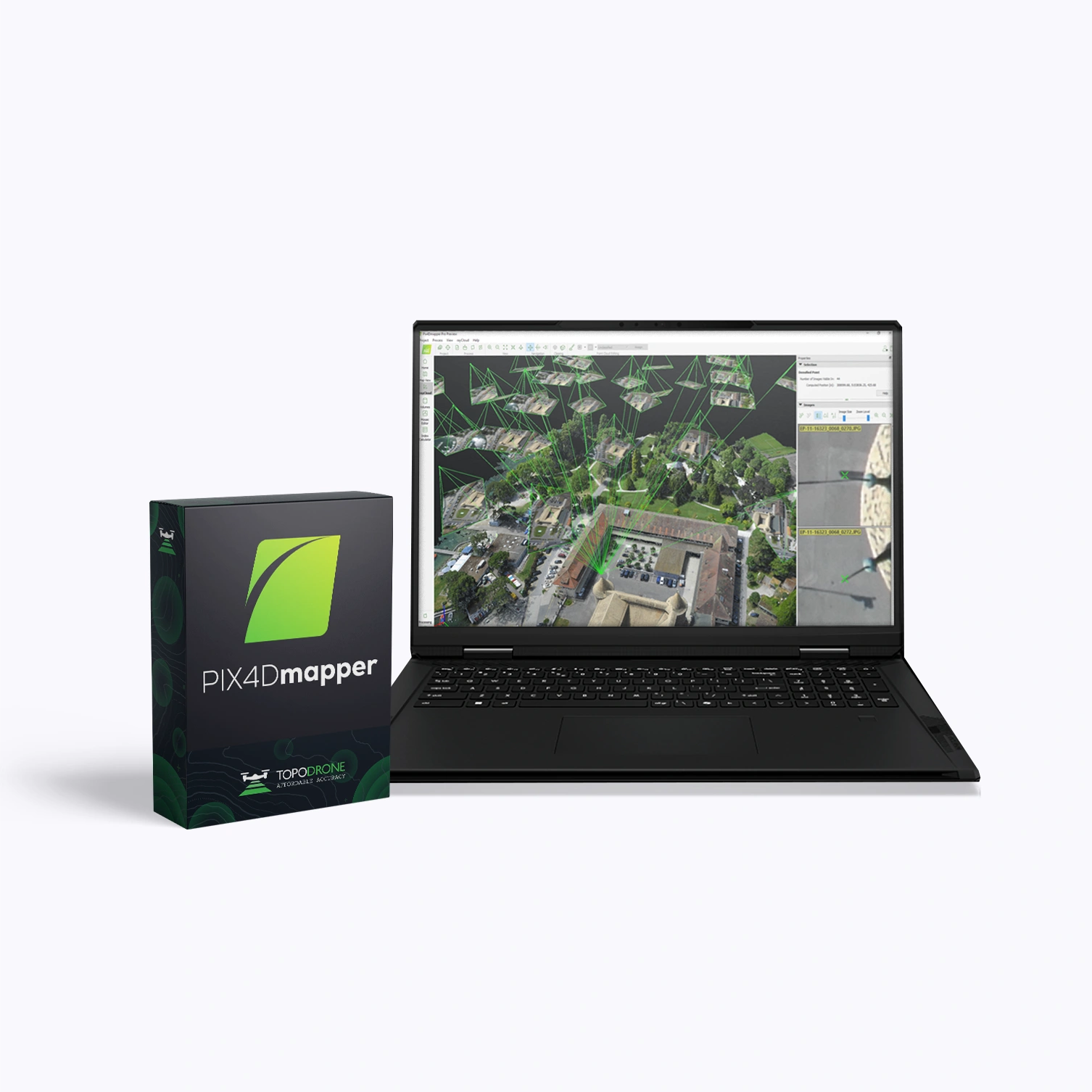
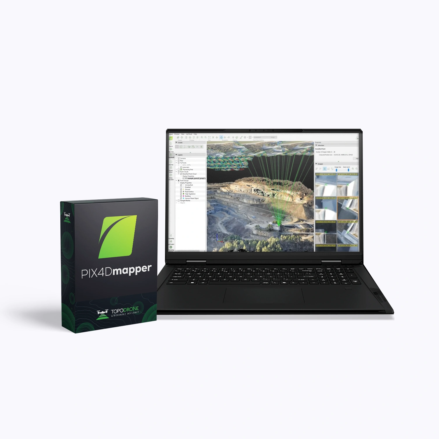
    PIX4Dmapper, Perpetual
    PIX4Dmapper, Perpetual
    5
    0
    Available
    Art. TDCH89101
    $6 584.95
    PIX4Dsurvey, Educational, Student, 1 Month
    PIX4Dsurvey, Educational, Student, 1 Month
    5
    0
    Available
    Art. TDCH89507
    $18.67
    PIX4Dcloud Advanced, 1 Year
    PIX4Dcloud Advanced, 1 Year
    5
    0
    Available
    Art. TDCH89705
    $3 721.93
    PIX4Dmatic, 1 Month
    PIX4Dmatic, 1 Month
    5
    0
    Available
    Art. TDCH89302
    $410.78
    PIX4Dfields, Perpetual
    PIX4Dfields, Perpetual
    5
    0
    Available
    Art. TDCH89201
    $4 966.72
    PIX4Dmapper, Non-Commercial, 1 Year S&U After Expiry
    PIX4Dmapper, Non-Commercial, 1 Year S&U After Expiry
    5
    0
    Available
    Art. TDCH89107
    $914.92
    PIX4Dsurvey, Training, Essentials online course
    PIX4Dsurvey, Training, Essentials online course
    5
    0
    Available
    Art. TDCH89511
    $336.09
    PIX4Dmapper, Single Device, 1 Year S&U Before Expiry
    PIX4Dmapper, Single Device, 1 Year S&U Before Expiry
    5
    0
    Available
    Art. TDCH89108
    $658.50
    PIX4Dsurvey, Educational, Student, 6 Month Semester
    PIX4Dsurvey, Educational, Student, 6 Month Semester
    5
    0
    Available
    Art. TDCH89508
    $37.34
    PIX4Dsurvey, 1 Year S&U Before Expiry
    PIX4Dsurvey, 1 Year S&U Before Expiry
    5
    0
    Available
    Art. TDCH89505
    $558.91
    PIX4Dmapper, 1 Year
    PIX4Dmapper, 1 Year
    5
    0
    Available
    Art. TDCH89103
    $4 107.82
    PIX4Dcloud, 1 Month
    PIX4Dcloud, 1 Month
    5
    0
    Available
    Art. TDCH89701
    $73.44
    PIX4Dsurvey, 1 Year S&U After Expiry
    PIX4Dsurvey, 1 Year S&U After Expiry
    5
    0
    Available
    Art. TDCH89506
    $838.99
    PIX4Dsurvey, 1 Year
    PIX4Dsurvey, 1 Year
    5
    0
    Available
    Art. TDCH89503
    $2 489.59
    1 2 3 ... 6
    • Comments
    Loading comments ...
    Back to the list
    Connect with us
    +41 21 588 02 11
    +41 21 588 02 11 09:00-18:00 whatsapp.svg
    Sales info@topodrone.com email.png
    Support support@topodrone.com email.png
    Telegram Channel @topodronesa tg.svg
    Telegram Chat @topodronesagroup tg.svg
    Telegram Bot @topodronecombot tg.svg
    Facebook @topodronesa ycz1c9257s6gh7g315r8q6tob3bnddba.png
    Youtube @topodronesa youtube.png
    LinkedIn @topodrone 9ratq3v3eavnhupo1akvxp0sbx4vopj5.png
    X @topodrone twitter.png
    Instagram @topodrone tpxkj71axu6dxt423lwj5idzwcej1njx.png
    Email
    info@topodrone.com - Sales
    support@topodrone.com - Support
    The address
    TOPODRONE SA, Chemin du Closel 5, 1020, RENENS, Switzerland
    Working hours
    10:00-18:00
    info@topodrone.com - Sales
    support@topodrone.com - Support
    TOPODRONE SA, Chemin du Closel 5, 1020, RENENS, Switzerland
    Products
    Sales
    Brands
    Services
    Applications
    Company
    Staff
    News
    Reviews
    Vacancy
    Licenses
    Documents
    Partners
    Information
    Requisites
    Help
    Payment
    Delivery
    Warranty
    FAQ
    © 2026 TOPODRONE SA
    Privacy Policy
    Main page Product 0 Comparison Contacts Blog Applications