








Contents
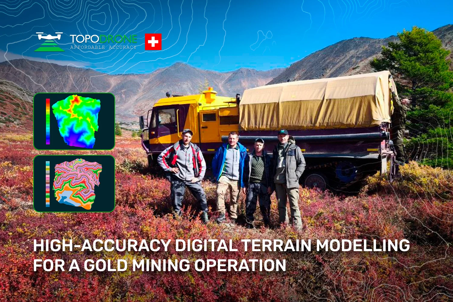
In this article we take a detailed look at a recent project in which a digital terrain model (DTM) was produced for the gold mining industry over an area of 14.31 km² (roughly 1,400 ha) of remote mountainous terrain. We cover every stage of the work: from planning the UAV aerial survey through to the final deliverables — the orthophoto and the digital elevation model — their accuracy, and how they are used in open-pit design.
Why gold mining needs accurate terrain data
Gold deposits are rarely found in convenient places. They tend to sit in remote, mountainous country a long way from roads, power and accommodation, and the operations built to work them are among the most survey-intensive projects there are. Every stage — outlining the pit, sizing the spoil dumps, siting the plant, planning the haul roads and the drainage — depends on knowing the shape of the ground precisely. The industry therefore needs survey tools that can cover large areas quickly and accurately and deliver digital models ready for design work.
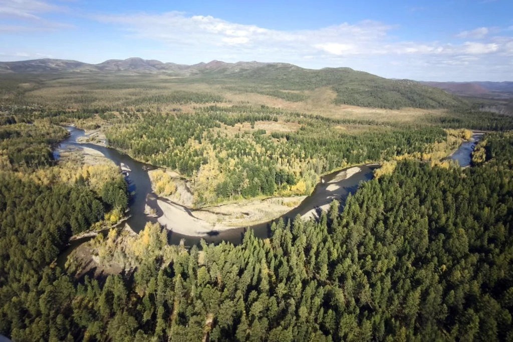
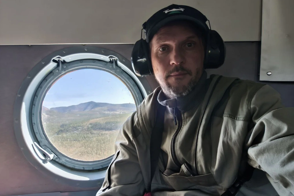
Images 1–2. The journey to site
Designing a modern mining operation — particularly in difficult terrain and a harsh climate — depends on accurate, up-to-date spatial data. Conventional topographic survey methods are extremely labour-intensive and slow at this scale. Unmanned aerial vehicles (UAVs) combined with photogrammetry make it possible to collect a complete dataset in a very short time, and that dataset underpins everything that follows in the design process.
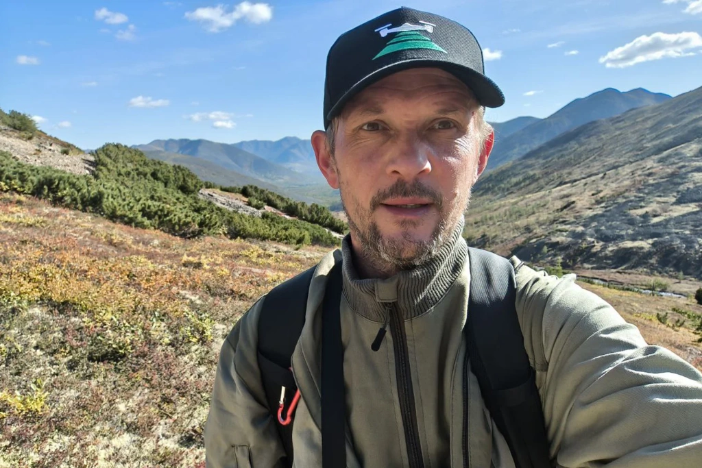
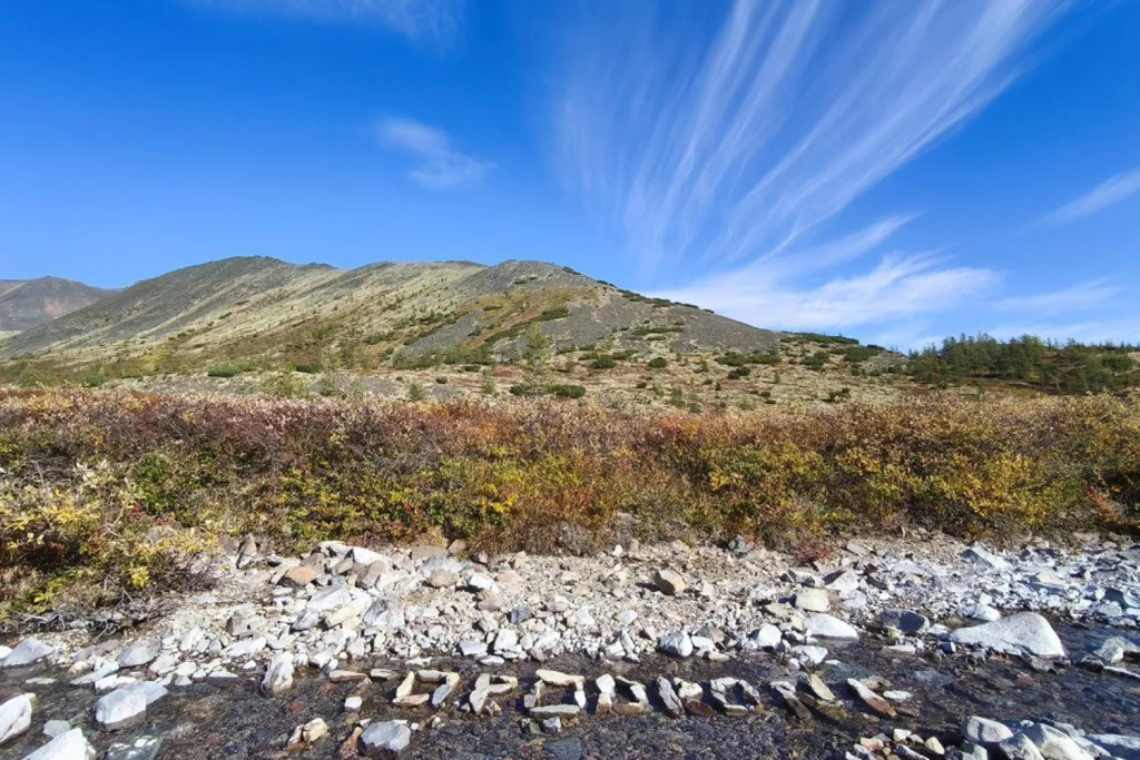
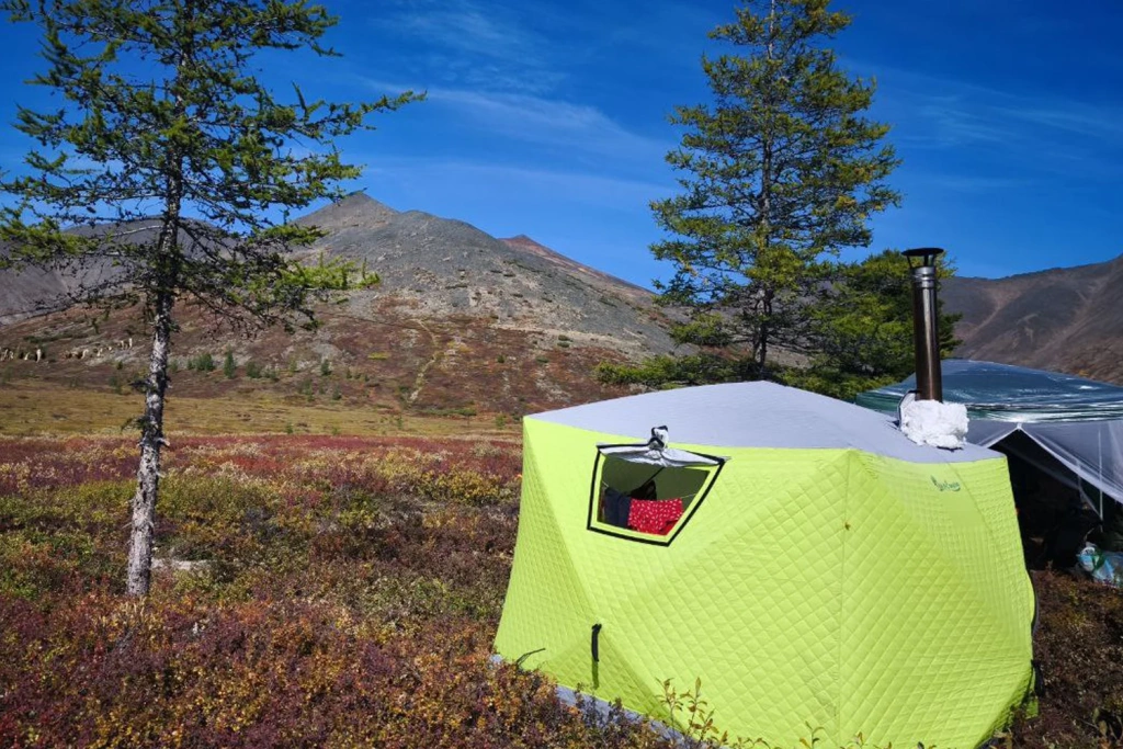
Images 3–5. A remarkably beautiful autumn, seen from a field camp
Project objectives
To capture high-resolution, accurately georeferenced aerial imagery — and from it to produce a 1:2,000 topographic plan and a digital terrain model — the team chose the DJI Mavic 3E, a survey-grade commercial UAV. It combines portability, useful flight endurance and a professional camera with a mechanical shutter, which eliminates motion blur in flight.
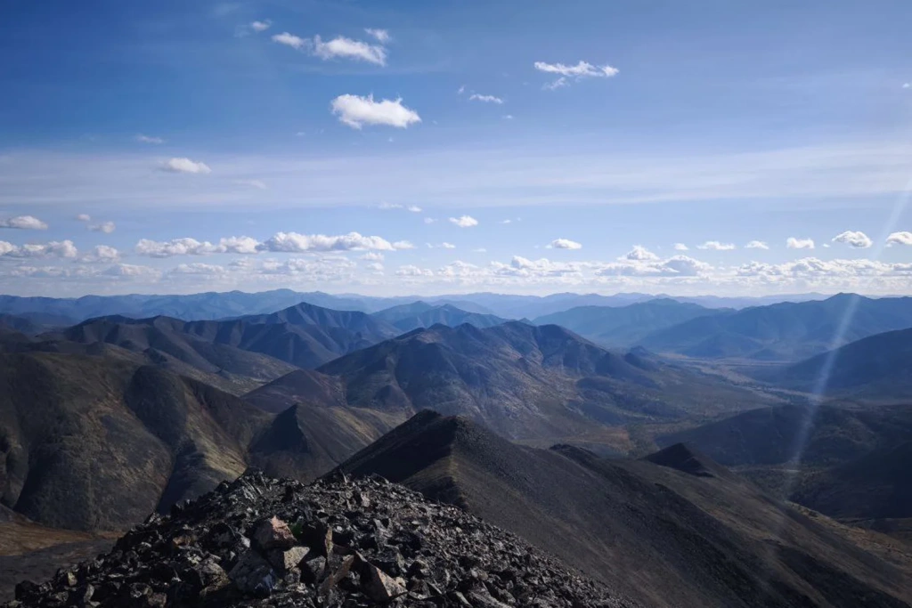
Image 6. General view of the survey area
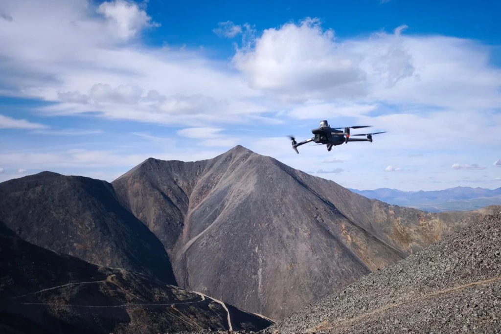
Image 7. The DJI Mavic 3E commercial UAV
Preparations for opening up the new site involved a number of tasks:
- flying an aerial survey over 1,400 ha;
- producing a topographic plan at 1:2,000 scale with a 2 m contour interval;
- building a digital terrain model for the design of the future open-pit gold mine.
One distinctive feature of the area was the considerable relief — around 750 m of elevation difference — which made the job both interesting and technically demanding.
Aerial survey methodology
The survey was flown in sunny conditions, at +12 to +16 °C and with wind speeds of 4–8 m/s. The moderate wind had no critical effect on the stability of the Mavic 3E, and the good light gave sharp, high-contrast imagery.
Survey parameters:
- area of 14.31 km²;
- image footprint of 421.16 × 316.48 m;
- 402 waypoints across 25 flight lines;
- distance-triggered capture (1,677 frames at 63.30 m intervals).
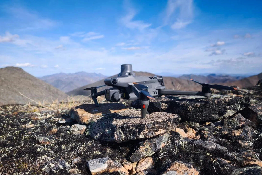
Image 8. The DJI Mavic 3E with the RTK module fitted
The whole survey was completed in a single working day: nine flights totalling around three hours (9 × 20 min). It is a clear demonstration of just how efficient UAV methods are compared with ground-based survey.
Flight parameters:
The missions were planned in UgCS, which allowed the flight lines to be calculated with the terrain taken into account. In practice this means the flying height followed the digital elevation model, holding a constant height above ground and therefore a uniform ground sample distance across every image.
- flying height — 300 m, which strikes the right balance between area coverage and the image resolution needed for a 1:2,000 plan;
- forward overlap — 80%;
- side overlap — 60%. Generous overlaps are essential if photogrammetry is to produce a reliable 3D model of the terrain;
- speed — 10 m/s, the optimum for keeping images sharp at these overlap settings.
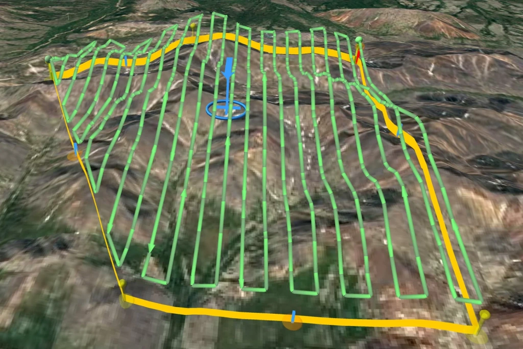
Image 9. The flight mission planned in UgCS
Data processing
A base station was set up on site to achieve the accuracy required. This allowed post-processed kinematic (PPK) positioning to be used, which is considerably more accurate than the UAV's standalone GNSS positions.
The image georeferencing — the camera centre coordinates — was refined in TOPODRONE Post Processing. At this stage the raw GNSS data from the drone and the base station are corrected, giving centimetre-level coordinates for every exposure.
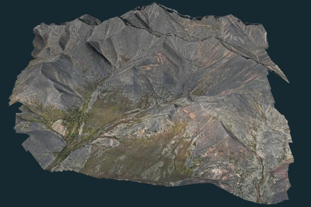
Image 10. Digital elevation model of the site
Photogrammetric processing in Agisoft Metashape
- A dense point cloud was generated. Using the refined coordinates and the imagery itself, the software matches thousands of tie points across overlapping photographs. The result is a three-dimensional point cloud in which every point carries X, Y and Z coordinates and a colour value. This is the foundation for everything that follows.
- A digital elevation model was then derived — a grid in which every cell is assigned a height value. A 2 m contour interval fully meets the requirements for a 1:2,000 topographic plan.
- An orthophoto was also produced: a distortion-corrected, uniformly scaled photographic map of the area that serves as an accurate cartographic base.
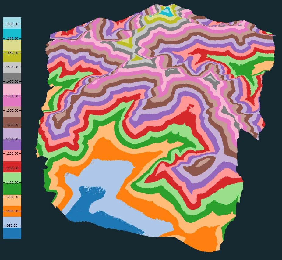
Image 11. Point cloud coloured by elevation
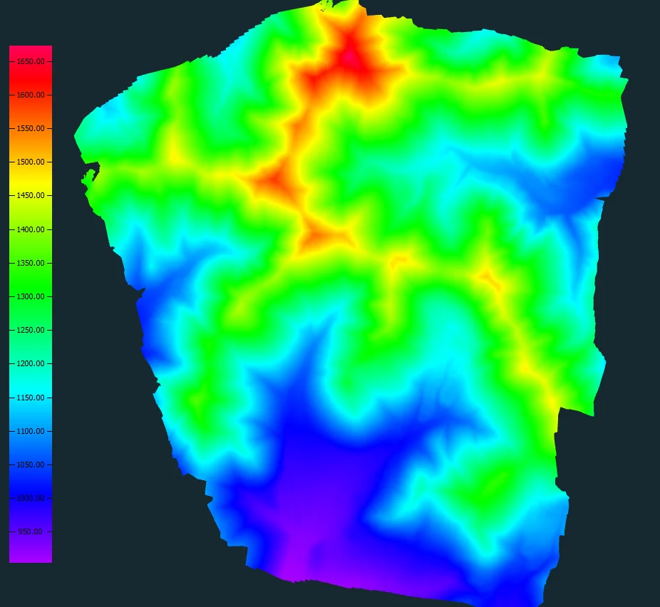
Image 12. Point cloud in RGB
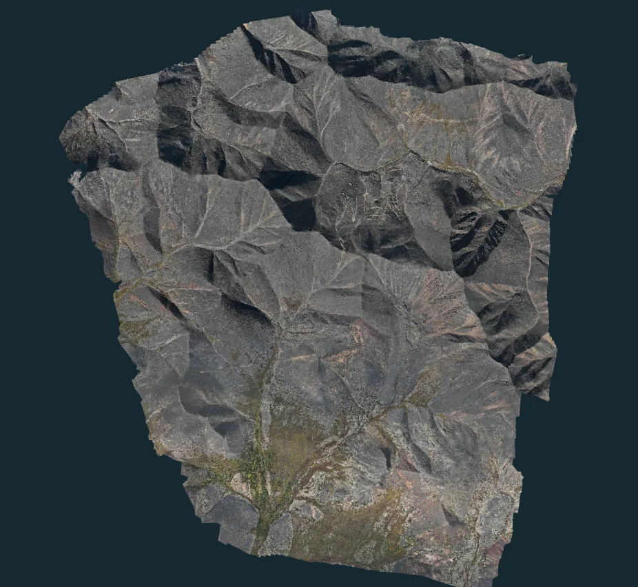
Image 13. Orthophoto of the survey area
The difference between the coordinates of these points in the resulting DTM and their true coordinates, as measured by the survey team, was 6–10 cm. That comfortably satisfies the accuracy requirements for topographic plans at 1:2,000 scale.
Twelve check points, marked on the ground as survey crosses, were established across the site to provide an independent assessment of accuracy. Their coordinates were determined to a high standard using conventional survey methods.
Putting the model to work
A DTM of this quality is far more than a dataset — it becomes the designer's central working tool. On a gold mining project, it is used for:
- Terrain analysis for mine design: engineers can study slopes, landforms and terrain features to set out the pit outline and to design benches and spoil dumps.
- Cut and fill volume calculation: the DTM allows overburden and ore volumes to be calculated accurately at the outset, and material movement to be monitored throughout operations.
- Siting infrastructure: the model informs the choice of locations for offices, workshops, explosives magazines and the gold recovery plant, balancing haulage logistics against the footprint of the future pit.
- Modelling drainage and water diversion: the DTM makes it possible to predict surface and meltwater flow paths and to design ditches, diversion bunds and culverts — critical both for environmental compliance and for pit slope stability.
- Monitoring terrain change during operations: repeat aerial surveys track the progress of extraction, monitor slope deformation and keep the dataset current. The digital model thus becomes the basis for engineering calculations and reduces risk at the design stage.
Video 1. High-accuracy point cloud produced from the aerial survey
Conclusions
The project showed that a UAV (DJI Mavic 3E) combined with a PPK base station and specialist software (UgCS, TOPODRONE Post Processing, Agisoft Metashape) is an exceptionally effective combination. More than 1,400 ha were covered to centimetre accuracy in a remarkably short time — a single day of fieldwork.
A final model accuracy of 6–10 cm at the check points is an excellent result, and it formally confirms the data's fitness for serious engineering work. The deliverables meet the requirements for topographic survey at 1:2,000 scale in full and can be used as the basis for design documentation.
Completing nine flights in one day represents a substantial reduction in effort and programme time compared with conventional ground survey. That translates directly into cost savings and gets the project to the design and construction stage sooner. The digital model produced is not simply a picture or a drawing: it is a single, reliable digital representation of the site that underpins every subsequent stage, from pit design and reserve estimation through to 3D modelling and mine planning.
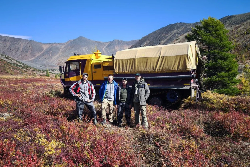
Image 14. Before heading home
This project is a clear demonstration that UAV technology has moved from the experimental to the essential in the design and operation of mineral deposits. The digital terrain model not only reduces risk at the design stage, it also lays the groundwork for managing the entire life cycle of a gold mining operation efficiently and with modern tools.