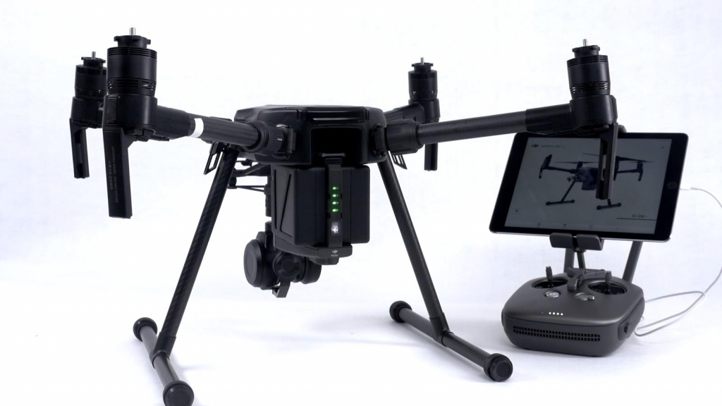
DJI MATRICE 200 GNSS RTK SURVEY AND MAPPING KIT
DJI MATRICE 200 GNSS RTK – professional solution for UAV mapping ad survey

Pic. DJI MATRICE 200 GNSS RTK
SURVEY AND MAPPING KIT
Specifications:
- Integrated survey grade 444 channel L1, L2 (GPS, GLONASS, Galileo, SBAS) GNSS RTK receiver
- L1, L2 GNSS antenna
- Built in GSM modem (optional radio modem )
- Professionally calibrated X4S 20MP camera
- Obstacle avoidance
- Working temperature range -20 °C ~ 45 °C
- Carrying case
- Flight time up to 35 minutes
- 1 year Warranty
DJI MATRICE 200 GNSS RTK – professional solution for UAV mapping ad survey:
444 channel L1, L2 (GPS, GLONASS, Galileo, SBAS) GNSS RTK receiver integrated with a professionally calibrated 20MP camera which allows to record photos locations with centimeter level accuracy.
Now you can process data in Photoscan or Pix4D, etc. software and turn your images into highly precise, georeferenced 2D maps and 3D models without ground control points (GCP).
With Built in GSM modem you can work with a network of reference stations in Real Time Kinematic (RTK) mode and you don’t need to use GNSS receiver as a base station.
Dual-battery power system automatically heats batteries when flying in sub-zero temperatures, while an enclosed design ensures weather and water resistance, so you can fly in a wide range of environments.
|
Start cooperation with an individual consultation on the selection of equipment and services.
|
Order service
|


.png)


