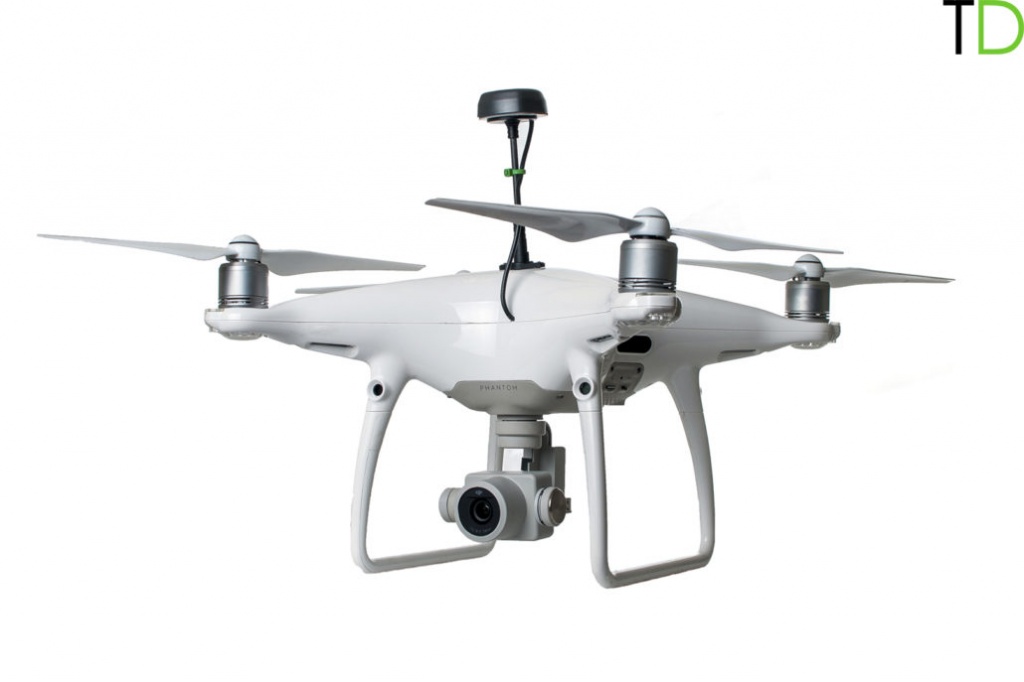
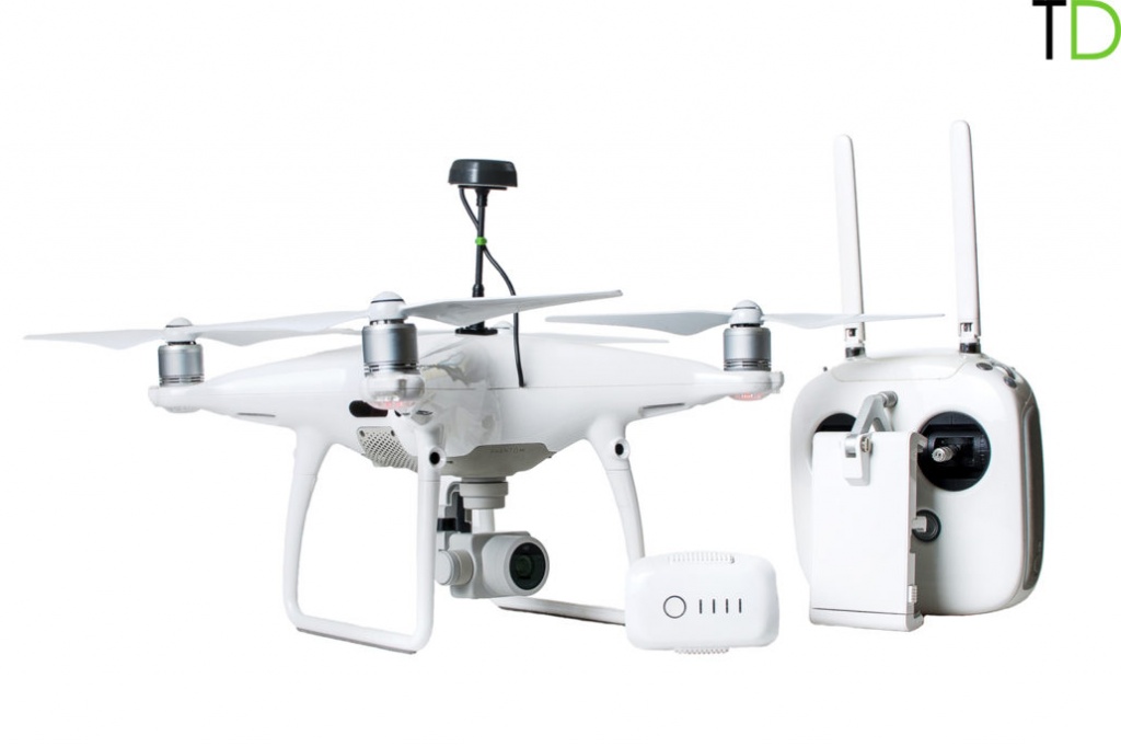
DJI PHANTOM 4 PRO RTK-PPK
DJI PHANTOM 4PRO GNSS PPK


Specifications:
- Ready to fly DJI Phantom 4 PRO;
- Integrated survey grade GNSS receiver (GPS/QZSS L1, GLONASS G1, BeiDou B1, Galileo E1, SBAS);
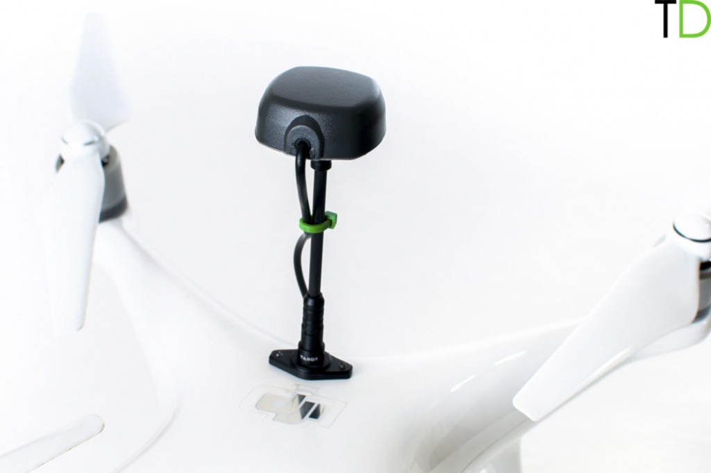
- Removable GNSS antenna mount;
- Professional calibrated camera 20MP;
- Software for GNSS data post processing;
- Support for operations, PPK data processing and photogrammetry processing.
DJI PHANTOM 4PRO GNSS PPK overview:
We would like to announce a low cost survey grade system DJI PHANTOM 4PRO GNSS RTK/PPK.
Survey grade GNSS GPS/QZSS L1, GLONASS G1, BeiDou B1, Galileo E1, SBAS receiver built in standard DJI Phantom 4PRO body and integrated with professional calibrated 20 MP camera. It allows to record photos locations with centimeter level accuracy.
Now you can process data in Photoscan or Pix4D, etc. software and turn your images into highly precise, georeferenced 2D maps and 3D models without ground control points (GCP).
You no longer have to lay down GCPs or just minimize their number, saving countless hours and labor costs.
DJI PHANTOM 4PRO GNSS RTK/PPK is a easy to use survey tool. Just prepare flight mission in UGCS, etc software, switch on the drone, perform a flight mission. GNSS receiver will store events of making photo automatically, after landing download data from a drone via WI-FI.
The total weight of DJI PHANTOM 4PRO GNSS RTK/PPK increased by only 100 grams and removable antenna mount allows carrying a drone in a standard DJI case.
For more detail please read the following article about our experience of using DJI PHANTOM 4PRO GNSS RTK/PPK for topographical survey or visit our BLOG
|
Start cooperation with an individual consultation on the selection of equipment and services.
|
Order service
|


.png)


