Topodrone team took part at Drones in Finish Agricultural & Forestry congress Naantali, Finland
Participation in FIN DRONES conference "Application of drones in agriculture and forestry of Finland»

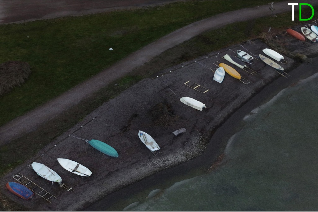
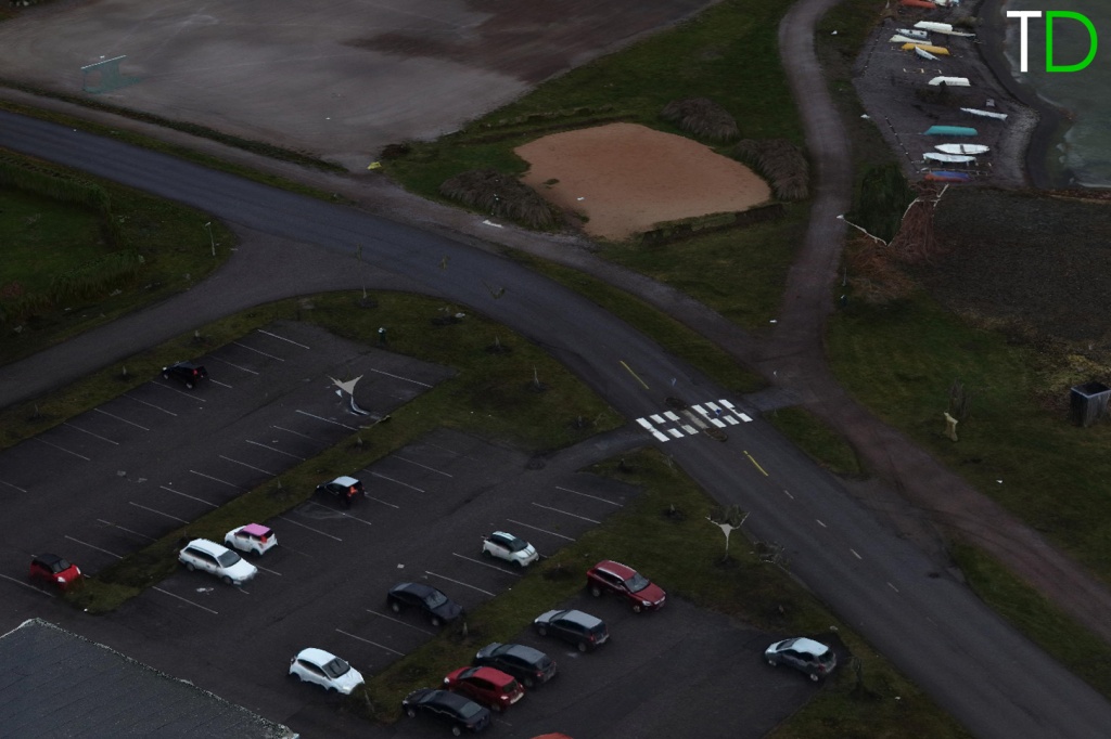
During flight show we made UAV survey over test area. Flights were carried out by DJI PHANTOM 4PRO PPK and DJI MATRICE 200 PPK in the difficult weather conditions with a gusting wind speed up to 15 m/sec.

The entire process of photogrammetry data processing, 3D model generating was performed together with conference participants.

4 – 5 cm x,y,z accuracy of 3D model was achieved thanks to the developed by Topodrone algorithm of GNSS & IMU data postprocessing. No ground points were used for aerial data photo triangulation. For accuracy estimating checkpoints with well-known coordinates were used.


The great interest of participants was aroused by presentation of Natural Resources Institute of Finland (LUKE) about the experience of using DJI drones with additionally installed multispectral camera and a high-precision geodetic GNSS receiver for forests monitoring and scaling.
|
Start cooperation with an individual consultation on the selection of equipment and services.
|
Order service
|


.png)


